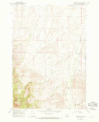
1965 Map of Hansen Ranch
USGS Topo · Published 1968About this map
Hansen Ranch sits at the heart of this mid-century livestock and irrigation landscape in Beaverhead County. The terrain is defined by a dense network of drainages including Medicine Lodge Creek and its various tributaries such as Hansen Creek and Poole Creek. This 1965 field check reveals a ranching economy dependent on water management, evidenced by the Paiment Ditch running through the northern sections.
Find a feature on this map
17 named features on this map. Tap any name to fly to it.
Don’t see what you’re looking for? This feature index may not catch every label — zoom into the map to look around manually.
Map Details
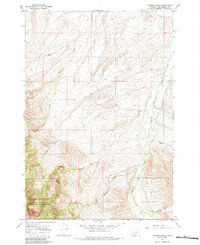
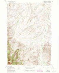
Editions of this 1965 Hansen Ranch Map
3 editions found
Other maps of this area

1893 · Dillon
USGS Topo · 1:250,000

1952 · Eli Spring
USGS Topo · 1:24,000

1955 · Dubois
USGS Topo · 1:250,000

1955 · Dillon
USGS Topo · 1:250,000

1957 · Dillon
USGS Topo · 1:250,000

1958 · Dubois
USGS Topo · 1:250,000

1958 · Dillon
USGS Topo · 1:250,000

1959 · Grant
USGS Topo · 1:62,500

1962 · Dillon
USGS Topo · 1:250,000
1965 · Garfield Canyon
USGS Topo · 1:24,000