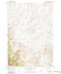
1965 Map of Hansen Ranch
USGS Topo · Published 1984About this map
Medicine Lodge Creek winds through this high-country landscape of Beaverhead County, defining the drainage patterns of a region dominated by ranching and open range. Located near the southern boundary of the Beaverhead National Forest, the map captures a remote area where the Hansen Ranch stands as a primary point of human habitation. The terrain is deeply incised by numerous seasonal and perennial waterways, including Barrett Creek and Poole Creek, which flow through the foothills toward the larger valley floor.
Find a feature on this map
14 named features on this map. Tap any name to fly to it.
Don’t see what you’re looking for? This feature index may not catch every label — zoom into the map to look around manually.
Map Details
Editions of this 1965 Hansen Ranch Map
3 editions found
Other maps of this area

1893 · Dillon
USGS Topo · 1:250,000

1952 · Eli Spring
USGS Topo · 1:24,000

1955 · Dubois
USGS Topo · 1:250,000

1955 · Dillon
USGS Topo · 1:250,000

1957 · Dillon
USGS Topo · 1:250,000

1958 · Dubois
USGS Topo · 1:250,000

1958 · Dillon
USGS Topo · 1:250,000

1959 · Grant
USGS Topo · 1:62,500

1962 · Dillon
USGS Topo · 1:250,000
1965 · Garfield Canyon
USGS Topo · 1:24,000