Old Maps of Dell, Montana for Academic Research
Study the evolution of Dell with 11 high-resolution historic maps. Whether you're teaching, researching, or modeling changes in land use, these maps provide essential visual documentation of urban, environmental, and geographic change.
- Analyze long-term change: Track patterns in development, transportation, and natural features.
- Ideal for environmental or urban studies: Support academic projects with primary historical map data.
- Use in the classroom or lab: Educators and researchers rely on these maps to bring historical context to life.
These maps are a powerful tool for teaching, research, and visualizing how Dell has changed over the decades.
Dell, MT maps
(11)- 1955 Map of Dubois
 1955 Dubois1955 Print · USGSThe high desert and mountain passes of eastern Idaho and western Montana are captured here during the mid-fifties. Researchers can trace the Union Pacific rail line through Dubois or locate the National Reactor Testing Station.4 unique versions available
 - 1958 Map of Dubois
 1958 Dubois1958 Print · USGSThe high divide between Idaho and Montana comes alive in this mid-century survey, from the mining camps of the Lemhi Range to the ranchlands of Centennial Valley. Trace historic operations at the Copper Queen Mine, the route of the Union Pacific RR, and the scientific work at the Sheep experimental station.2 unique versions available
 - 1965 Map of Dell, 1969 Print
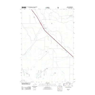
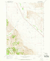 1965 Dell1969 Print · USGSBeaverhead County ranchlands and the Centennial Valley are captured here in the mid-1960s. Genealogists and historians can trace the Union Pacific line through Dell or locate remote springs like Garr Spring and Keefer Spring in the Beaverhead National Forest.3 unique versions available
 - 1987 Map of Lima
 1987 Lima1987 Print · USGSThe high mountain passes of the Montana-Idaho border come alive in the late eighties as they follow the historic rail and road corridors. You can trace the Union Pacific line through Lima and Monida or locate the Silver Queen Mine in the northern ranges.
 - 1992 Map of Lima, 1993 Print
 1992 Lima1993 Print · USGSThe high Divide country of Beaverhead County comes into focus in the early nineties, centered on the rail-and-ranching corridor through the Tendoy Mountains. Genealogists and historians can trace the Union Pacific line through Lima, Dell, and Monida, or locate the Silver Queen Mine and Kidd along the historic valley routes.
 - 1997 Map of Dell, 2002 Print
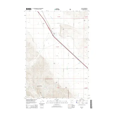
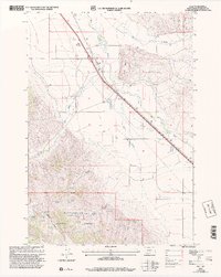 1997 Dell2002 Print · USGSHigh-plains ranching and mountain foothills define this area during the late nineties. Genealogists and researchers can trace family-named landmarks like Briggs Ranch and Rock Island Ranch or locate the Dell Airport and Lyon Spring.
 - 2011 Map of Dell, 2011 Print
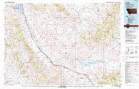
 2011 Dell2011 Print · USGSCovers Dell, including Beaverhead County, United States, and other nearby areas
 - 2014 Map of Dell, 2014 Print
 2014 Dell2014 Print · USGSCovers Dell, including Beaverhead County, United States, and other nearby areas
 - 2017 Map of Dell, 2017 Print
 2017 Dell2017 Print · USGSCovers Dell, including Beaverhead County, United States, and other nearby areas
 - 2020 Map of Dell, 2020 Print
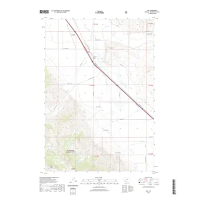 2020 Dell2020 Print · USGSCovers Dell, including Beaverhead County, United States, and other nearby areas
 - 2024 Map of Dell, 2024 Print
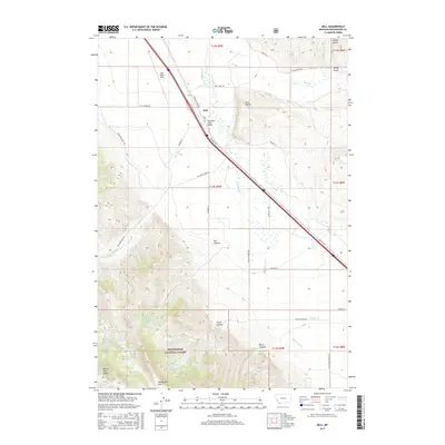
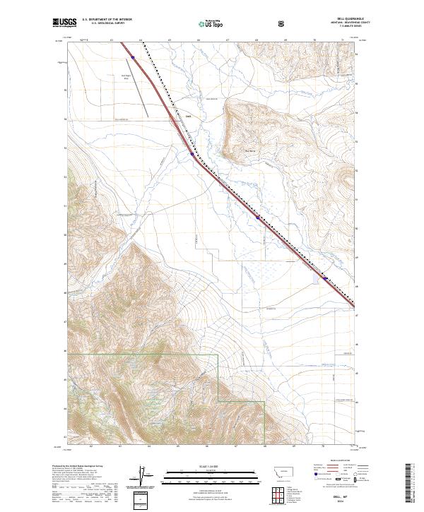 2024 Dell2024 Print · USGSDell and the surrounding high basins of Beaverhead County are shown here in the 2020s, centered on the vital Red Rock River corridor. Researchers can locate remote mountain landmarks like Red Butte and trace the historic Oregon Short Line route through the valley.
End of results
Showing maps 1-11 of 11
Top cities near Dell
Frequently asked questions
- What are the different types of historical maps available for Dell?
- What is the oldest map of Dell?
- Where can I purchase historical maps of Dell for my home or office?
- Where can I download high-res historical maps of Dell?
- Are there historical topographic maps available for Dell?
- Is there historical aerial imagery available for Dell?
- Where are historical maps of Dell sourced from?