Old Maps of Gloss Place, Montana for Genealogy
Trace your family roots with 13 historic maps of Gloss Place. These high-res maps reveal old neighborhoods, homesites, landmarks, and streets — helping you uncover where your ancestors lived and how the area evolved over time.
- Explore historic neighborhoods: Identify where your relatives may have lived in the 1800s or 1900s.
- Compare maps over time: Trace the changes in streets, buildings, and landmarks for multi-generational research.
- Perfect for genealogy & ancestry research: Used by family historians and researchers to map out lineage and migration.
These maps are an incredible resource for exploring your personal connection to Gloss Place's past.
Gloss Place, MT maps
(13)- 1955 Map of Dillon, 1978 Print
 1955 Dillon1978 Print · USGSSouthwest Montana at the dawn of the interstate era reveals a landscape of high-mountain ranching and historic mining camps. Trace the routes of the Union Pacific through Dillon and Armstead, or locate early settlements like Bannack and Wisdom.2 unique versions available
 - 1957 Map of Dillon
 1957 Dillon1957 Print · USGSSouthwest Montana and Idaho in the mid-fifties reveal a high-country landscape of mountain ranges and ranching valleys. Genealogists can trace family holdings and rail stops along the Union Pacific Railroad, from Dillon to historic Virginia City and Twin Bridges.
 - 1958 Map of Dillon
 1958 Dillon1958 Print · USGSSouthwestern Montana during the late fifties reveals a high-country landscape defined by the Continental Divide and a legacy of mountain mining. Genealogists and historians can trace rail lines like the Union Pacific or locate early industrial sites including the Hecla Mine and Ermont Mine.
 - 1962 Map of Dillon
 1962 Dillon1962 Print · USGSSouthwest Montana in the early sixties is defined by its high mountain ranges and the winding rivers that carved its settlement patterns. Trace the rail routes of the Union Pacific through Dillon or locate mining activity near Butte and Argenta.
 - 1965 Map of Dillon
 1965 Dillon1965 Print · USGSSouthwest Montana in the mid-1960s is defined by its rugged river valleys and high mountain passes along the Continental Divide. Researchers can trace the path of the Union Pacific through Dillon and Armstead, or locate early mining activity near Melrose and Wise River.
 - 1978 Map of Butch Hill, 1979 Print
 1978 Butch Hill1979 Print · USGSBeaverhead County ranching and water rights are well-documented in this late 1970s survey of the high-country landscape. Genealogists and historians can locate specific ranch sites like Hairpin Ranch and trace the complex irrigation network of the Main Jackson Ditch and Wengers Ditch.
 - 1981 Map of Salmon, 1982 Print
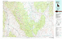 1981 Salmon1982 Print · USGSThe high mountain border between Idaho and Montana comes alive in the early 1980s as a landscape of remote mines and river junctions. Researchers can trace the heritage of the Beaverhead Mountains through sites like Elkhorn Mine, Silver King Mine, and the settlement of Wisdom.
 - 1997 Map of Butch Hill, 2002 Print
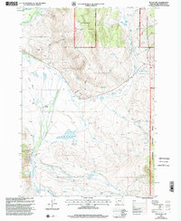 1997 Butch Hill2002 Print · USGSBeaverhead County ranching and forestry are captured here in the late 1990s, where complex irrigation networks meet the national forest. Trace the history of high-country land use through family-named sites like Hairpin Ranch, Prines Cabin, and the Gloss Place.
 - 2011 Map of Butch Hill, 2011 Print
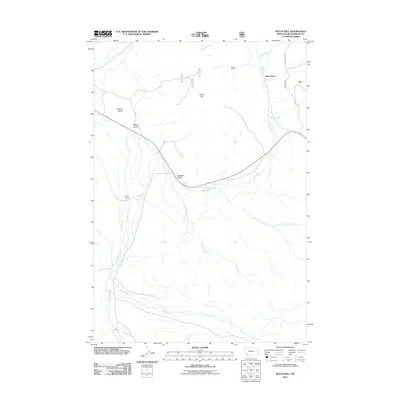 2011 Butch Hill2011 Print · USGSBeaverhead County ranching and rugged drainages are documented here in the early twenty-first century. Researchers can locate remote outposts like Gloss Place and Hairpin Ranch or trace watercourses such as Bull Creek and Cow Cabin Creek.
 - 2014 Map of Butch Hill, 2014 Print
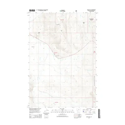 2014 Butch Hill2014 Print · USGSBeaverhead County in the mid-2010s remains a landscape of high-country drainages and forest boundaries. Genealogists and researchers can trace the roads and waterways around Gloss Place, Inabnit Butte, and the headwaters of Governor Creek.
 - 2017 Map of Butch Hill, 2017 Print
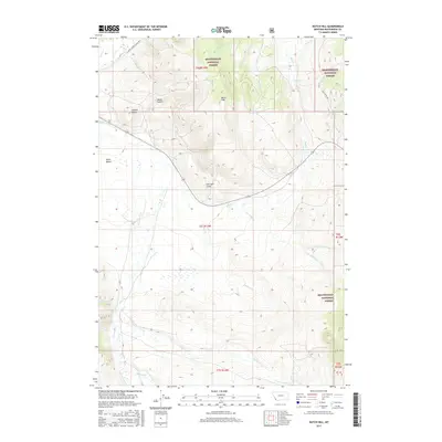 2017 Butch Hill2017 Print · USGSHigh-altitude wilderness in Beaverhead County is captured here in the late twenty-tens, showing a landscape defined by federal forest land and mountain drainages. Researchers can trace land use and local nomenclature through features like Inabnit Butte, Harrison Gulch, and Davis Bench.
 - 2020 Map of Butch Hill, 2020 Print
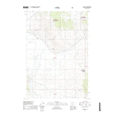 2020 Butch Hill2020 Print · USGSBeaverhead County, Montana, is shown here as a landscape of forest land and complex watersheds in the early twenty-first century. Researchers and outdoorsmen can trace the drainages of Cow Cabin Creek or locate landmarks like Inabnit Butte and Davis Bench.
 - 2024 Map of Butch Hill, 2024 Print
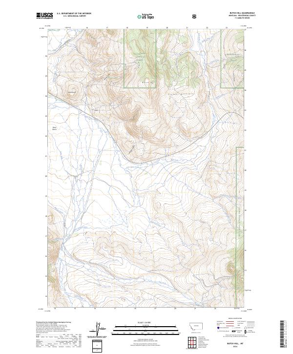 2024 Butch Hill2024 Print · USGSBeaverhead County in the early twenty-first century reveals a high-altitude Montana landscape dominated by irrigation and mountain ridges. Researchers can trace historical water rights through systems like Wengers Ditch and Main Jackson Ditch or locate landmarks like Inadnit Butte.
End of results
Showing maps 1-13 of 13
Frequently asked questions
- What are the different types of historical maps available for Gloss Place?
- What is the oldest map of Gloss Place?
- Where can I purchase historical maps of Gloss Place for my home or office?
- Where can I download high-res historical maps of Gloss Place?
- Are there historical topographic maps available for Gloss Place?
- Is there historical aerial imagery available for Gloss Place?
- Where are historical maps of Gloss Place sourced from?