Old Maps of Kidd, Montana for Genealogy
Trace your family roots with 11 historic maps of Kidd. These high-res maps reveal old neighborhoods, homesites, landmarks, and streets — helping you uncover where your ancestors lived and how the area evolved over time.
- Explore historic neighborhoods: Identify where your relatives may have lived in the 1800s or 1900s.
- Compare maps over time: Trace the changes in streets, buildings, and landmarks for multi-generational research.
- Perfect for genealogy & ancestry research: Used by family historians and researchers to map out lineage and migration.
These maps are an incredible resource for exploring your personal connection to Kidd's past.
Kidd, MT maps
(11)- 1955 Map of Dubois
 1955 Dubois1955 Print · USGSThe high desert and mountain passes of eastern Idaho and western Montana are captured here during the mid-fifties. Researchers can trace the Union Pacific rail line through Dubois or locate the National Reactor Testing Station.4 unique versions available
 - 1958 Map of Dubois
 1958 Dubois1958 Print · USGSThe high divide between Idaho and Montana comes alive in this mid-century survey, from the mining camps of the Lemhi Range to the ranchlands of Centennial Valley. Trace historic operations at the Copper Queen Mine, the route of the Union Pacific RR, and the scientific work at the Sheep experimental station.2 unique versions available
 - 1965 Map of Kidd
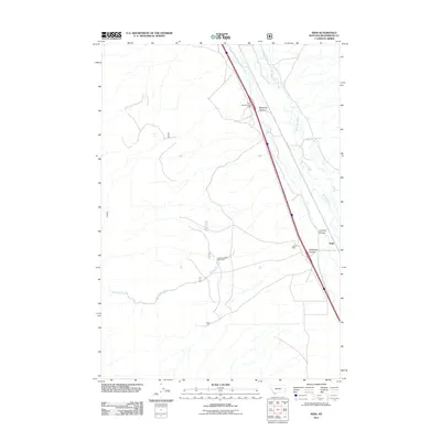
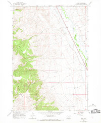 1965 Kidd1965 Print · USGSBeaverhead County in the mid-1960s is a landscape of high canyons and vital rail corridors. Genealogists and researchers can trace the Union Pacific line through the settlement of Kidd and explore the remote terrain of the Beaverhead National Forest.2 unique versions available
 - 1987 Map of Lima
 1987 Lima1987 Print · USGSThe high mountain passes of the Montana-Idaho border come alive in the late eighties as they follow the historic rail and road corridors. You can trace the Union Pacific line through Lima and Monida or locate the Silver Queen Mine in the northern ranges.
 - 1992 Map of Lima, 1993 Print
 1992 Lima1993 Print · USGSThe high Divide country of Beaverhead County comes into focus in the early nineties, centered on the rail-and-ranching corridor through the Tendoy Mountains. Genealogists and historians can trace the Union Pacific line through Lima, Dell, and Monida, or locate the Silver Queen Mine and Kidd along the historic valley routes.
 - 1997 Map of Kidd, 2002 Print
 1997 Kidd2002 Print · USGSHigh Montana forest meets the river valley in the late nineties, showing the rugged interface of the Beaverhead National Forest. Trace family roots in Kidd or explore the drainage systems of Bell Canyon and Limekiln Creek.
 - 2011 Map of Kidd, 2011 Print
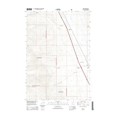
 2011 Kidd2011 Print · USGSCovers Kidd, including Beaverhead County, United States, and other nearby areas
 - 2014 Map of Kidd, 2014 Print
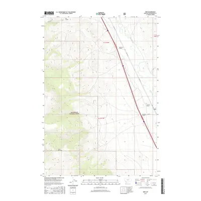
 2014 Kidd2014 Print · USGSCovers Kidd, including Beaverhead County, United States, and other nearby areas
 - 2017 Map of Kidd, 2017 Print
 2017 Kidd2017 Print · USGSCovers Kidd, including Beaverhead County, United States, and other nearby areas
 - 2020 Map of Kidd, 2020 Print
 2020 Kidd2020 Print · USGSCovers Kidd, including Beaverhead County, United States, and other nearby areas
 - 2024 Map of Kidd, 2024 Print
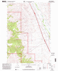
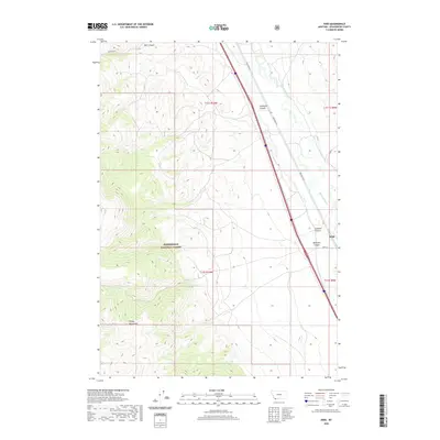
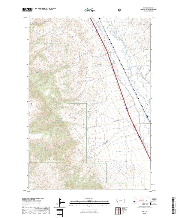 2024 Kidd2024 Print · USGSBeaverhead County’s high-country terrain and river valleys are captured here in the mid-2020s. Researchers can trace the settlement of Kidd and follow drainage patterns through the Tendoy Mountains and Beaverhead National Forest.
End of results
Showing maps 1-11 of 11
Top cities near Kidd
Frequently asked questions
- What are the different types of historical maps available for Kidd?
- What is the oldest map of Kidd?
- Where can I purchase historical maps of Kidd for my home or office?
- Where can I download high-res historical maps of Kidd?
- Are there historical topographic maps available for Kidd?
- Is there historical aerial imagery available for Kidd?
- Where are historical maps of Kidd sourced from?