Old Maps of Corinth, Montana for Hiking & Exploration
Hike through history with 11 historic maps of Corinth. Explore old trails, ghost towns, and forgotten backroads — perfect for outdoor adventurers and local explorers.
- Rediscover forgotten places: Map out old mining camps, roads, and footpaths that no longer exist on modern maps.
- Layer with modern tools: Combine with LiDAR or satellite views to plan hikes through historical terrain.
- Made for exploration: Popular among hikers, overlanders, and local history lovers.
Use these maps to find adventure and explore the hidden past of Corinth.
Corinth, MT maps
(11)- 1894 Map of Fort Custer
 1894 Fort Custer1894 Print · USGSBig Horn County was still a frontier landscape in the 1890s, defined by the meeting of the Big Horn River and Little Big Horn R. You can trace the early railroad at Pompey Pillar Sta. and the grounds of the Fort Custer Military Reservation.4 unique versions available
 - 1954 Map of Hardin, 1964 Print
 1954 Hardin1964 Print · USGSSoutheastern Montana is documented here during the mid-fifties, showing the vast tribal lands and historic battle sites before modern highway expansion. Researchers can trace the Chicago Burlington and Quincy rail line through Hardin or locate the Custer National Cemetery and Museum.2 unique versions available
 - 1957 Map of Hardin
 1957 Hardin1957 Print · USGSSoutheastern Montana in the mid-fifties reveals a landscape shaped by tribal lands and the historic Bighorn river valleys. Researchers can trace the Chicago Burlington and Quincy RR through Hardin and locate the National Cemetery and Custer Battlefield Monument.
 - 1958 Map of Hardin
 1958 Hardin1958 Print · USGSSoutheastern Montana in the mid-fifties presents a landscape defined by significant tribal lands and national monuments. Researchers can trace the geography of the Little Bighorn at Custer Battlefield National Monument and locate settlements like Lame Deer and Birney.
 - 1969 Map of Corinth, 1972 Print
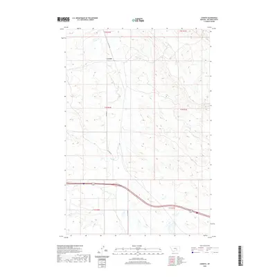
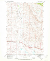 1969 Corinth1972 Print · USGSBig Horn County at the close of the sixties shows a landscape of traditional ranching and rail being reshaped by the interstate. Genealogists and historians can trace the Burlington Northern line through Corinth or locate the Gravel Pit and Spring Creek near the highway.2 unique versions available
 - 1981 Map of Hardin
 1981 Hardin1981 Print · USGSBig Horn County at the start of the eighties shows a landscape shaped by the Bighorn River and deep historical ties. Researchers can trace the grounds of Custer Battlefield National Monument or find small rail points like Toluca and Crow Agency.
 - 2011 Map of Corinth, 2011 Print
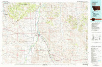
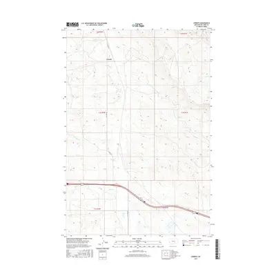
 2011 Corinth2011 Print · USGSCovers Corinth, including Big Horn County, United States, and other nearby areas
 - 2014 Map of Corinth, 2014 Print
 2014 Corinth2014 Print · USGSCovers Corinth, including Big Horn County, United States, and other nearby areas
 - 2017 Map of Corinth, 2017 Print
 2017 Corinth2017 Print · USGSCovers Corinth, including Big Horn County, United States, and other nearby areas
 - 2020 Map of Corinth, 2020 Print
 2020 Corinth2020 Print · USGSCovers Corinth, including Big Horn County, United States, and other nearby areas
 - 2024 Map of Corinth, 2024 Print
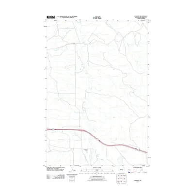
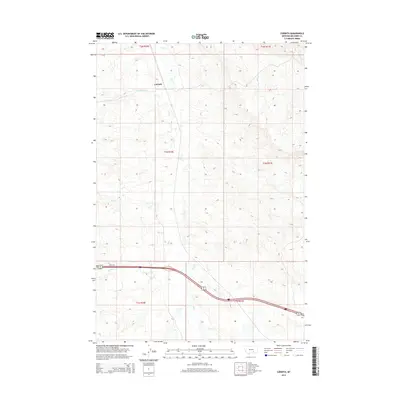
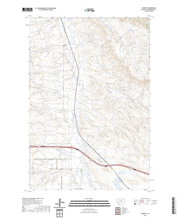 2024 Corinth2024 Print · USGSBig Horn County is captured here in the early twenty-first century, showing the rural character of the Montana plains. Researchers can trace family land ties near Corinth or follow the paths of Fly Creek and Fly Creek Rd through the open landscape.
End of results
Showing maps 1-11 of 11
Frequently asked questions
- What are the different types of historical maps available for Corinth?
- What is the oldest map of Corinth?
- Where can I purchase historical maps of Corinth for my home or office?
- Where can I download high-res historical maps of Corinth?
- Are there historical topographic maps available for Corinth?
- Is there historical aerial imagery available for Corinth?
- Where are historical maps of Corinth sourced from?