Old Maps of Corinth, Montana for Academic Research
Study the evolution of Corinth with 11 high-resolution historic maps. Whether you're teaching, researching, or modeling changes in land use, these maps provide essential visual documentation of urban, environmental, and geographic change.
- Analyze long-term change: Track patterns in development, transportation, and natural features.
- Ideal for environmental or urban studies: Support academic projects with primary historical map data.
- Use in the classroom or lab: Educators and researchers rely on these maps to bring historical context to life.
These maps are a powerful tool for teaching, research, and visualizing how Corinth has changed over the decades.
Corinth, MT maps
(11)- 1894 Map of Fort Custer
 1894 Fort Custer1894 Print · USGSBig Horn County was still a frontier landscape in the 1890s, defined by the meeting of the Big Horn River and Little Big Horn R. You can trace the early railroad at Pompey Pillar Sta. and the grounds of the Fort Custer Military Reservation.4 unique versions available
 - 1954 Map of Hardin, 1964 Print
 1954 Hardin1964 Print · USGSSoutheastern Montana is documented here during the mid-fifties, showing the vast tribal lands and historic battle sites before modern highway expansion. Researchers can trace the Chicago Burlington and Quincy rail line through Hardin or locate the Custer National Cemetery and Museum.2 unique versions available
 - 1957 Map of Hardin
 1957 Hardin1957 Print · USGSSoutheastern Montana in the mid-fifties reveals a landscape shaped by tribal lands and the historic Bighorn river valleys. Researchers can trace the Chicago Burlington and Quincy RR through Hardin and locate the National Cemetery and Custer Battlefield Monument.
 - 1958 Map of Hardin
 1958 Hardin1958 Print · USGSSoutheastern Montana in the mid-fifties presents a landscape defined by significant tribal lands and national monuments. Researchers can trace the geography of the Little Bighorn at Custer Battlefield National Monument and locate settlements like Lame Deer and Birney.
 - 1969 Map of Corinth, 1972 Print
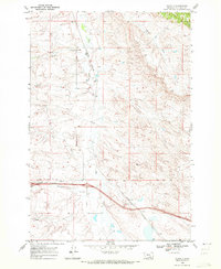 1969 Corinth1972 Print · USGSBig Horn County at the close of the sixties shows a landscape of traditional ranching and rail being reshaped by the interstate. Genealogists and historians can trace the Burlington Northern line through Corinth or locate the Gravel Pit and Spring Creek near the highway.2 unique versions available
 - 1981 Map of Hardin
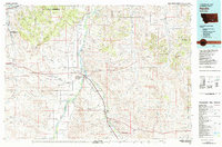 1981 Hardin1981 Print · USGSBig Horn County at the start of the eighties shows a landscape shaped by the Bighorn River and deep historical ties. Researchers can trace the grounds of Custer Battlefield National Monument or find small rail points like Toluca and Crow Agency.
 - 2011 Map of Corinth, 2011 Print
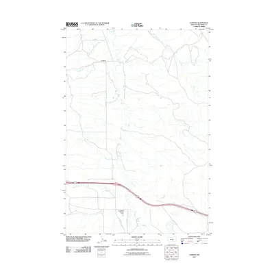 2011 Corinth2011 Print · USGSCorinth and its surrounding creek valleys appear in the early 21st century as a landscape defined by water management and rural routes. Researchers can trace land features from Corinth south to the Kjeldgaard Number 1 Dam and along the banks of Fly Creek.
 - 2014 Map of Corinth, 2014 Print
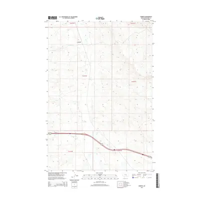 2014 Corinth2014 Print · USGSBig Horn County ranch land is captured in this 2014 survey, highlighting the rural settlement patterns of the Montana plains. Researchers can trace the drainages of Fly Cr and Tenmile Cr as they flow near the community of Corinth.
 - 2017 Map of Corinth, 2017 Print
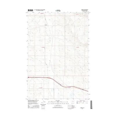 2017 Corinth2017 Print · USGSCorinth and the surrounding Montana ranchlands are captured here in the early twenty-first century as they follow the natural contours of the Big Horn landscape. Researchers can trace the drainage patterns of Fly Cr and Tenmile Cr or locate the rural junction at Corinth.
 - 2020 Map of Corinth, 2020 Print
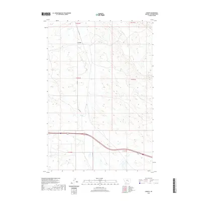 2020 Corinth2020 Print · USGSBig Horn County in the early twenty-first century reveals a landscape shaped by its waterways and the settlement of Corinth. Genealogists and local historians can trace the paths of Fly Creek Rd and the drainages of Tenmile Cr and Deer Cr.
 - 2024 Map of Corinth, 2024 Print
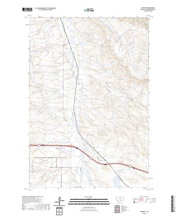 2024 Corinth2024 Print · USGSBig Horn County is captured here in the early twenty-first century, showing the rural character of the Montana plains. Researchers can trace family land ties near Corinth or follow the paths of Fly Creek and Fly Creek Rd through the open landscape.
End of results
Showing maps 1-11 of 11
Frequently asked questions
- What are the different types of historical maps available for Corinth?
- What is the oldest map of Corinth?
- Where can I purchase historical maps of Corinth for my home or office?
- Where can I download high-res historical maps of Corinth?
- Are there historical topographic maps available for Corinth?
- Is there historical aerial imagery available for Corinth?
- Where are historical maps of Corinth sourced from?