Old Maps of Harlem, Montana for Academic Research
Study the evolution of Harlem with 11 high-resolution historic maps. Whether you're teaching, researching, or modeling changes in land use, these maps provide essential visual documentation of urban, environmental, and geographic change.
- Analyze long-term change: Track patterns in development, transportation, and natural features.
- Ideal for environmental or urban studies: Support academic projects with primary historical map data.
- Use in the classroom or lab: Educators and researchers rely on these maps to bring historical context to life.
These maps are a powerful tool for teaching, research, and visualizing how Harlem has changed over the decades.
Harlem, MT maps
(11)- 1905 Map of Harlem
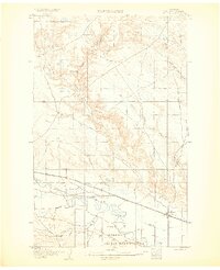 1905 Harlem1905 Print · USGSThe Milk River valley at the turn of the century shows a landscape transitioning from open range to irrigated agriculture and rail-side settlements. Researchers can locate early outposts like Sorterstorm's Ranch and follow the route of the Great Northern R R past Harlem and Madras.2 unique versions available
 - 1913 Map of Cherry Ridge
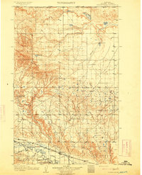 1913 Cherry Ridge1913 Print · USGSNorthern Montana ranching and the Fort Belknap Indian Reservation are captured here during the early twentieth century. Genealogists and historians can locate early homesteads like Arbagasts Ranch and trace the path of the Great Northern railroad.3 unique versions available
 - 1953 Map of Havre, 1967 Print
 1953 Havre1967 Print · USGSNorthern Montana’s Hi-Line comes into focus in the mid-fifties, centered on the Milk River and the critical Great Northern rail link. Genealogists can trace small sidings and settlements like Assinniboine, Laredo, and Box Elder alongside the Fort Belknap Agency.3 unique versions available
 - 1957 Map of Havre
 1957 Havre1957 Print · USGSNorth-central Montana at the mid-century is defined by the vital Great Northern rail corridor and the winding Milk River. Researchers can trace old settlements like Laredo and Savoy, or locate historic sites such as the Hays (old) Sub Agency and the Chinook No 1 mine.
 - 1958 Map of Havre
 1958 Havre1958 Print · USGSUpper Montana in the late fifties was a landscape of remote rail towns and vast high-plain ranges. Genealogists and historians can trace the Great Northern railroad through Havre, Chinook, and the Fort Belknap Indian Reservation.
 - 1964 Map of Harlem, 1967 Print
 1964 Harlem1967 Print · USGSThe northern Milk River valley comes into focus during the mid-sixties, showing the intersection of the Fort Belknap Indian Reservation and the town of Harlem. Researchers can trace the path of the Great Northern railway, find the town Cem, and locate the Rodeo Ground.
 - 2011 Map of Harlem, 2011 Print
 2011 Harlem2011 Print · USGSCovers Harlem, including Agency District, North Harlem Hutterite Colony, and other nearby areas
 - 2014 Map of Harlem, 2014 Print
 2014 Harlem2014 Print · USGSCovers Harlem, including Agency District, North Harlem Hutterite Colony, and other nearby areas
 - 2017 Map of Harlem, 2017 Print
 2017 Harlem2017 Print · USGSCovers Harlem, including Agency District, North Harlem Hutterite Colony, and other nearby areas
 - 2020 Map of Harlem, 2020 Print
 2020 Harlem2020 Print · USGSCovers Harlem, including Agency District, North Harlem Hutterite Colony, and other nearby areas
 - 2024 Map of Harlem, 2024 Print
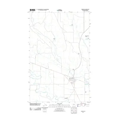
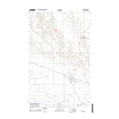
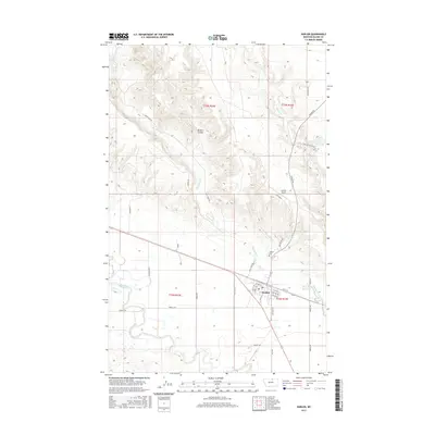
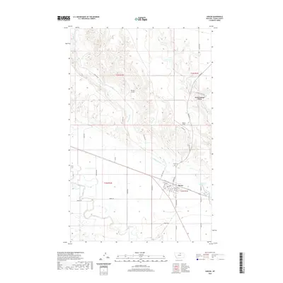
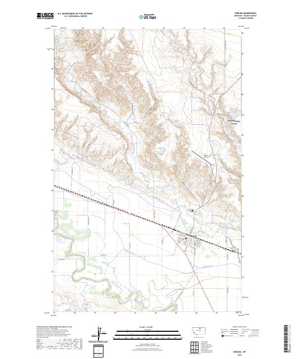 2024 Harlem2024 Print · USGSHarlem and the Milk River valley are shown in the twenty-twenties as a landscape of managed water and communal settlement. Genealogists and historians can trace family-named routes like Ereaux Rd and Forgey Ln or locate the North Harlem Colony.
End of results
Showing maps 1-11 of 11
Frequently asked questions
- What are the different types of historical maps available for Harlem?
- What is the oldest map of Harlem?
- Where can I purchase historical maps of Harlem for my home or office?
- Where can I download high-res historical maps of Harlem?
- Are there historical topographic maps available for Harlem?
- Is there historical aerial imagery available for Harlem?
- Where are historical maps of Harlem sourced from?