Old Maps of Leroy, Montana
Explore 8 old maps of Leroy, spanning from 1954 to today. These high-resolution historic maps reveal how streets, neighborhoods, landmarks, and natural features evolved over time — perfect for genealogy, metal detecting, research, and local history exploration.
What you can do with these maps:
- See how Leroy changed over time: Compare historical maps to modern-day views to trace roads, homesites, rail lines & more.
- View detailed metadata: Each map includes creators, publishers, year, scale, and archive source.
- Overlay maps with satellite & LiDAR: Visualize the past alongside modern tools to explore terrain & human change.
- Trusted historical sources: Maps sourced from the USGS, Library of Congress, and other archives.
- Access maps your way: View online, download high-res files, or order prints for personal or research use.
Start exploring old maps of Leroy to uncover forgotten places, hidden landmarks, and the deep history beneath your feet.
Leroy, MT maps
(8)- 1954 Map of Leroy, 1956 Print
 1954 Leroy1956 Print · USGSBlaine County ranching country and the Missouri River breaks are captured here in the mid-fifties. Researchers can locate the Lone Tree Bench Sch, the small settlement of Leroy, and river features like Lone Pine Rapids.2 unique versions available
 - 1954 Map of Lewistown, 1967 Print
 1954 Lewistown1967 Print · USGSCentral Montana at the height of the mid-century rail era reveals a landscape shaped by the Judith River and high mountain ranges. Trace the old lines of the Great Northern through Lewistown and Denton, or locate sites like Giltedge and Landusky.3 unique versions available
 - 1959 Map of Lewistown
 1959 Lewistown1959 Print · USGSCentral Montana in the mid-1950s shows a landscape defined by the winding Missouri River and the rise of the South Moccasin Mtns. Researchers can trace the rail lines of the Great Northern through towns like Winifred and locate the Cat Creek Oil Field.3 unique versions available
 - 2011 Map of Leroy, 2011 Print
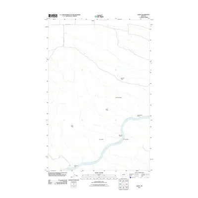 2011 Leroy2011 Print · USGSThe northern Missouri River breaks of Montana come into focus here during the early twenty-first century. Researchers can trace the river's winding path past McGarry Bar and Chimney Bend or locate high-ground landmarks like Barnard Ridge and Red Rock Ridge.
 - 2014 Map of Leroy, 2014 Print
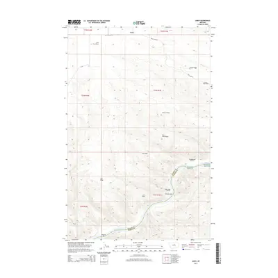 2014 Leroy2014 Print · USGSIn the breaks of the Missouri River during the early 2010s, this Montana landscape reveals a complex network of ridges and river bottoms. Researchers can trace the river's path through Lone Pine Rapids and Chimney Bend or locate upland markers like Leroy and Lone Tree Bench.
 - 2017 Map of Leroy, 2017 Print
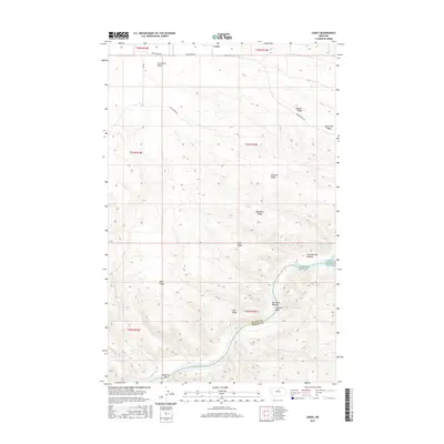 2017 Leroy2017 Print · USGSThe Missouri River breaks through the high ridges of Blaine County in this modern survey of the Montana plains. Researchers can trace the winding river corridor past McGarry Bar, Lone Pine Rapids, and the riverside flats of Box Elder Bottom.
 - 2020 Map of Leroy, 2020 Print
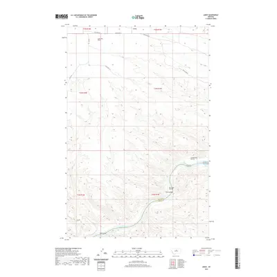 2020 Leroy2020 Print · USGSThe Missouri River breaks across the central Montana landscape in this modern topographic view, revealing the complex bends and rapids of the northern plains. Researchers can trace the river's path through Chimney Bend and Bird Rapids, or locate high points like Lone Tree Bench.
 - 2024 Map of Leroy, 2024 Print
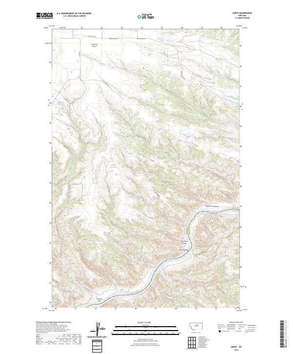 2024 Leroy2024 Print · USGSThe Missouri River breaks of North-Central Montana are captured here in the early twenty-first century as a protected wilderness corridor. Researchers can trace the winding river through Castle Bluffs, Chimney Bend, and the remote heights of Lone Tree Bench.
End of results
Showing maps 1-8 of 8
Frequently asked questions
- What are the different types of historical maps available for Leroy?
- What is the oldest map of Leroy?
- Where can I purchase historical maps of Leroy for my home or office?
- Where can I download high-res historical maps of Leroy?
- Are there historical topographic maps available for Leroy?
- Is there historical aerial imagery available for Leroy?
- Where are historical maps of Leroy sourced from?