Old Maps of Leroy, Montana for Academic Research
Study the evolution of Leroy with 8 high-resolution historic maps. Whether you're teaching, researching, or modeling changes in land use, these maps provide essential visual documentation of urban, environmental, and geographic change.
- Analyze long-term change: Track patterns in development, transportation, and natural features.
- Ideal for environmental or urban studies: Support academic projects with primary historical map data.
- Use in the classroom or lab: Educators and researchers rely on these maps to bring historical context to life.
These maps are a powerful tool for teaching, research, and visualizing how Leroy has changed over the decades.
Leroy, MT maps
(8)- 1954 Map of Leroy, 1956 Print
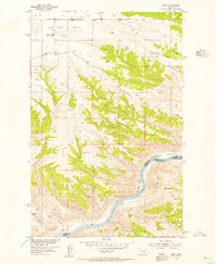 1954 Leroy1956 Print · USGSBlaine County ranching country and the Missouri River breaks are captured here in the mid-fifties. Researchers can locate the Lone Tree Bench Sch, the small settlement of Leroy, and river features like Lone Pine Rapids.2 unique versions available
 - 1954 Map of Lewistown, 1967 Print
 1954 Lewistown1967 Print · USGSCentral Montana at the height of the mid-century rail era reveals a landscape shaped by the Judith River and high mountain ranges. Trace the old lines of the Great Northern through Lewistown and Denton, or locate sites like Giltedge and Landusky.3 unique versions available
 - 1959 Map of Lewistown
 1959 Lewistown1959 Print · USGSCentral Montana in the mid-1950s shows a landscape defined by the winding Missouri River and the rise of the South Moccasin Mtns. Researchers can trace the rail lines of the Great Northern through towns like Winifred and locate the Cat Creek Oil Field.3 unique versions available
 - 2011 Map of Leroy, 2011 Print
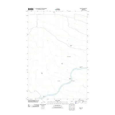 2011 Leroy2011 Print · USGSCovers Leroy, including Fergus County, Blaine County, and other nearby areas
 - 2014 Map of Leroy, 2014 Print
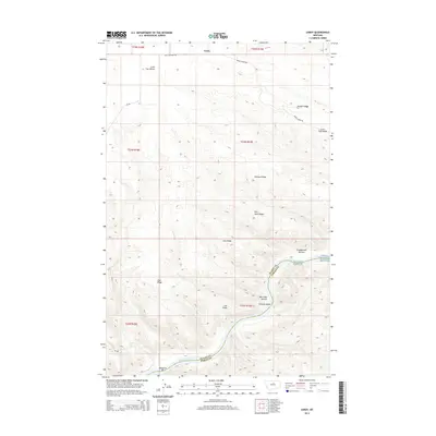 2014 Leroy2014 Print · USGSCovers Leroy, including Fergus County, Blaine County, and other nearby areas
 - 2017 Map of Leroy, 2017 Print
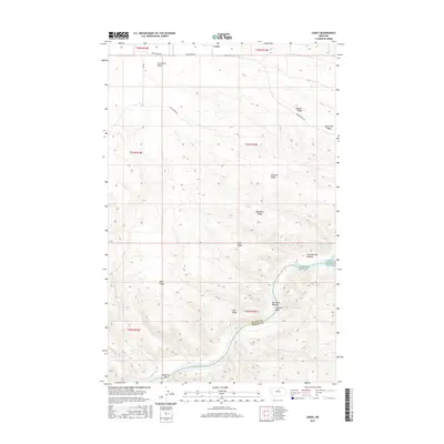 2017 Leroy2017 Print · USGSCovers Leroy, including Fergus County, Blaine County, and other nearby areas
 - 2020 Map of Leroy, 2020 Print
 2020 Leroy2020 Print · USGSCovers Leroy, including Fergus County, Blaine County, and other nearby areas
 - 2024 Map of Leroy, 2024 Print
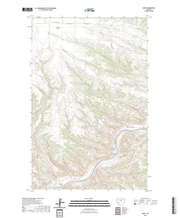 2024 Leroy2024 Print · USGSThe Missouri River breaks of North-Central Montana are captured here in the early twenty-first century as a protected wilderness corridor. Researchers can trace the winding river through Castle Bluffs, Chimney Bend, and the remote heights of Lone Tree Bench.
End of results
Showing maps 1-8 of 8
Frequently asked questions
- What are the different types of historical maps available for Leroy?
- What is the oldest map of Leroy?
- Where can I purchase historical maps of Leroy for my home or office?
- Where can I download high-res historical maps of Leroy?
- Are there historical topographic maps available for Leroy?
- Is there historical aerial imagery available for Leroy?
- Where are historical maps of Leroy sourced from?