Old Maps of Zurich, Montana for Hiking & Exploration
Hike through history with 12 historic maps of Zurich. Explore old trails, ghost towns, and forgotten backroads — perfect for outdoor adventurers and local explorers.
- Rediscover forgotten places: Map out old mining camps, roads, and footpaths that no longer exist on modern maps.
- Layer with modern tools: Combine with LiDAR or satellite views to plan hikes through historical terrain.
- Made for exploration: Popular among hikers, overlanders, and local history lovers.
Use these maps to find adventure and explore the hidden past of Zurich.
Zurich, MT maps
(12)- 1904 Map of Chinook
 1904 Chinook1904 Print · USGSLife in the Milk River Valley at the dawn of the century revolved around the rail lines and new irrigation canals. Researchers can trace early ranch holdings like Nelson's Ranch and Ronne's Ranch or locate the site of Kerrs Coalmine.2 unique versions available
 - 1912 Map of Zurich
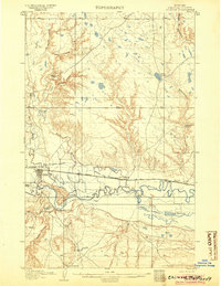
 1912 Zurich1912 Print · USGSNorthern Montana ranchlands and rail towns are captured here in the early twentieth century before the full development of modern irrigation. Genealogists and historians can locate early family-named sites like Corregan Ranch and Kerrs Coalmine along the Great Northern railroad line.
 - 1953 Map of Havre, 1967 Print
 1953 Havre1967 Print · USGSNorthern Montana’s Hi-Line comes into focus in the mid-fifties, centered on the Milk River and the critical Great Northern rail link. Genealogists can trace small sidings and settlements like Assinniboine, Laredo, and Box Elder alongside the Fort Belknap Agency.3 unique versions available
 - 1957 Map of Havre
 1957 Havre1957 Print · USGSNorth-central Montana at the mid-century is defined by the vital Great Northern rail corridor and the winding Milk River. Researchers can trace old settlements like Laredo and Savoy, or locate historic sites such as the Hays (old) Sub Agency and the Chinook No 1 mine.
 - 1958 Map of Havre
 1958 Havre1958 Print · USGSUpper Montana in the late fifties was a landscape of remote rail towns and vast high-plain ranges. Genealogists and historians can trace the Great Northern railroad through Havre, Chinook, and the Fort Belknap Indian Reservation.
 - 1964 Map of Zurich, 1967 Print
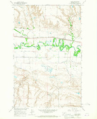 1964 Zurich1967 Print · USGSMilk River irrigation and the Great Northern railroad corridor dominate this Blaine County landscape in the mid-1960s. Researchers can trace the path of the Great Northern through Zurich, locate the North Fork Sch, and study the intricate network of the Fort Belknap Canal.
 - 1984 Map of Havre
 1984 Havre1984 Print · USGSThe Milk River valley and the northern high plains come into focus in the mid-1980s, detailing a landscape defined by rail, ranching, and water management. Trace the path of the Burlington Northern through Havre and Chinook, or locate sites like the Havre Air Force Station and Hilldale Colony.
 - 2011 Map of Zurich, 2011 Print
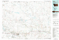
 2011 Zurich2011 Print · USGSCovers Zurich, including North Fork, Blaine County, and other nearby areas
 - 2014 Map of Zurich, 2014 Print
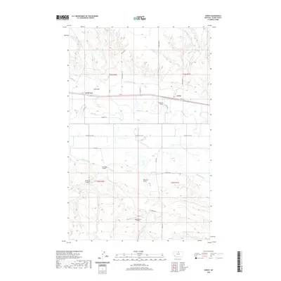
 2014 Zurich2014 Print · USGSCovers Zurich, including North Fork, Blaine County, and other nearby areas
 - 2017 Map of Zurich, 2017 Print
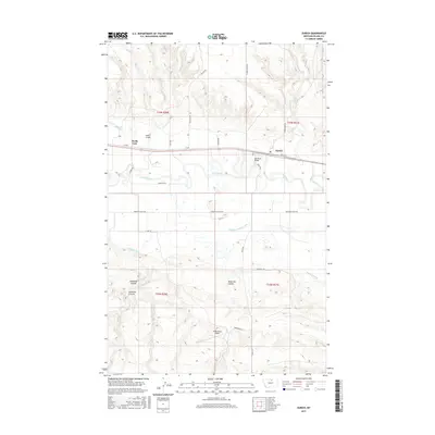 2017 Zurich2017 Print · USGSCovers Zurich, including North Fork, Blaine County, and other nearby areas
 - 2020 Map of Zurich, 2020 Print
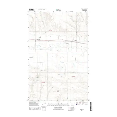
 2020 Zurich2020 Print · USGSCovers Zurich, including North Fork, Blaine County, and other nearby areas
 - 2024 Map of Zurich, 2024 Print
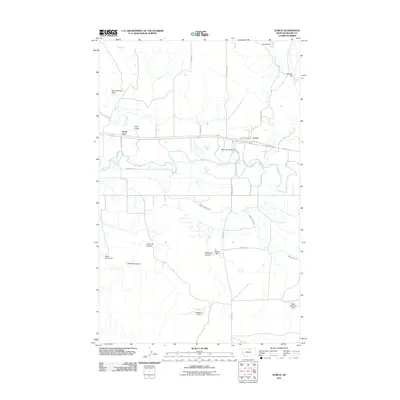
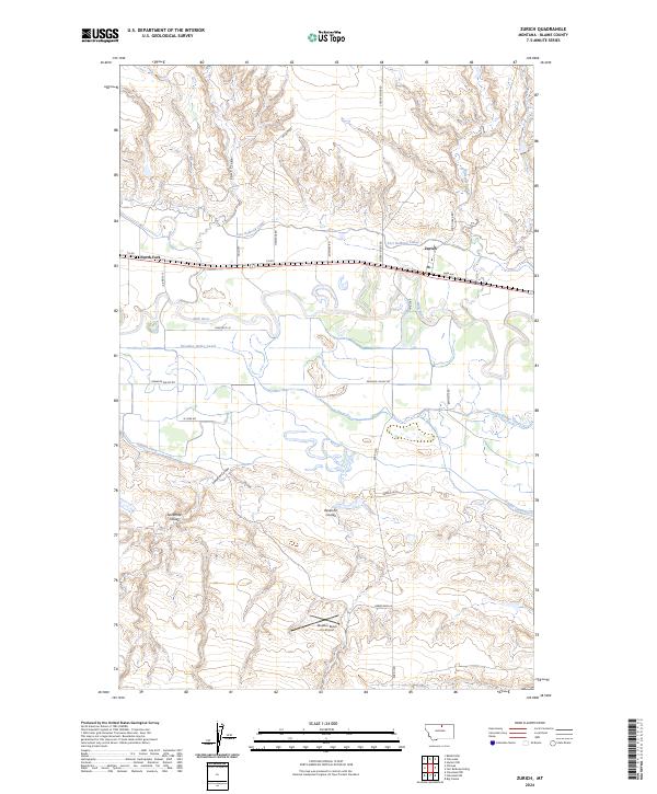 2024 Zurich2024 Print · USGSThe Milk River valley in Blaine County comes into focus in this recent survey of the rural ranchlands surrounding Zurich. Researchers can trace the modern irrigation network of the Fort Belknap Canal and locate remote features like North Fork and the Maddox Ranch Co Airport.
End of results
Showing maps 1-12 of 12
Top cities near Zurich
Frequently asked questions
- What are the different types of historical maps available for Zurich?
- What is the oldest map of Zurich?
- Where can I purchase historical maps of Zurich for my home or office?
- Where can I download high-res historical maps of Zurich?
- Are there historical topographic maps available for Zurich?
- Is there historical aerial imagery available for Zurich?
- Where are historical maps of Zurich sourced from?