Old Maps of Hassel (site), Montana
Explore 14 old maps of Hassel (site), spanning from 1886 to today. These high-resolution historic maps reveal how streets, neighborhoods, landmarks, and natural features evolved over time — perfect for genealogy, metal detecting, research, and local history exploration.
What you can do with these maps:
- See how Hassel (site) changed over time: Compare historical maps to modern-day views to trace roads, homesites, rail lines & more.
- View detailed metadata: Each map includes creators, publishers, year, scale, and archive source.
- Overlay maps with satellite & LiDAR: Visualize the past alongside modern tools to explore terrain & human change.
- Trusted historical sources: Maps sourced from the USGS, Library of Congress, and other archives.
- Access maps your way: View online, download high-res files, or order prints for personal or research use.
Start exploring old maps of Hassel (site) to uncover forgotten places, hidden landmarks, and the deep history beneath your feet.
Hassel (site), MT maps
(14)- 1886 Map of Fort Logan
 1886 Fort Logan1886 Print · USGSCentral Montana in the mid-1880s was a landscape of military outposts and early mining camps. Researchers can trace the frontier development of Radersburg and Crow Creek City or locate the historic military presence at Ft Logan.5 unique versions available
 - 1948 Map of White Sulphur Springs, 1951 Print
 1948 White Sulphur Springs1951 Print · USGSMontana's capital and the high country of the Big Belt Mountains come alive in this mid-century survey. Trace the early hydroelectric developments at Canyon Ferry Dam or follow the historic rail lines through Ringling and Townsend.
 - 1950 Map of Townsend, 1953 Print
 1950 Townsend1953 Print · USGSBroadwater County is documented here in the mid-twentieth century just before the valley floor was reshaped by the Canyon Ferry Reservoir project. Trace family roots and local history through the Centerville Cemetery, the Whitehead Ranch, and mining sites like the East Pacific Mine.3 unique versions available
 - 1958 Map of White Sulphur Springs, 1968 Print
 1958 White Sulphur Springs1968 Print · USGSCentral Montana in the late fifties was a landscape of high-country mining and newly formed reservoirs. You can trace the rail-and-river economy of the era through sites like Canyon Ferry Lake, the East Pacific Mine, and the historic Fort Logan.3 unique versions available
 - 1961 Map of White Sulphur Springs
 1961 White Sulphur Springs1961 Print · USGSThe Missouri River valley and central Montana highlands are captured here during a period of significant hydroelectric and rail expansion. Genealogists and rail historians can trace the paths of the Northern Pacific and Chicago Milwaukee St Paul and Pacific through settlements like White Sulphur Springs and Townsend.
 - 1965 Map of White Sulphur Springs
 1965 White Sulphur Springs1965 Print · USGSCentral Montana in the late 1950s and early 60s reveals a rugged mountain landscape shaped by the Missouri River and the emergence of the Canyon Ferry Reservoir. Genealogists and local historians can trace legacy ranching sites, the Northern Pacific rail line, and remote schoolhouses like Cottonwood School and Spokane Creek School.
 - 1976 Map of Townsend, 1994 Print
 1976 Townsend1994 Print · USGSBroadwater County and the surrounding peaks come into focus during the mid-seventies, showing the intersection of heavy mining history and mountain wilderness. Genealogists and historians can trace the foundations of Radersburg, the remote rail junction at Lombard, and dozens of named claims like the East Pacific Mine.
 - 1986 Map of Giant Hill
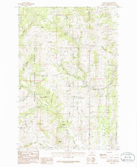 1986 Giant Hill1986 Print · USGSBroadwater County in the 1980s was a rugged territory of active prospects and deep-rooted mining heritage. Searchers can locate family-named landmarks like Mc Mullan and trace old industrial sites from Hassel to the high Giant Hill Prospects.
 - 2001 Map of Giant Hill, 2004 Print
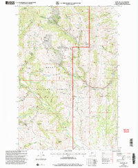 2001 Giant Hill2004 Print · USGSThe Helena National Forest backcountry comes into focus at the turn of the century, highlighting a landscape shaped by mining and springs. Researchers can trace the layout of the Diamond Hill Mine or locate high-country landmarks like Eagle Guard Station and Glendale Butte.
 - 2011 Map of Giant Hill, 2011 Print
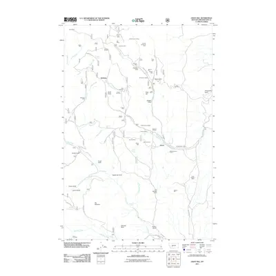 2011 Giant Hill2011 Print · USGSMining claims dominate the Broadwater County landscape in the early twenty-first century, showing a high density of named workings near the Elkhorn Mountains. You can trace the locations of the Saint Louis Mine, Diamond Hill Mine, and the old settlement site at Hassel.
 - 2014 Map of Giant Hill, 2014 Print
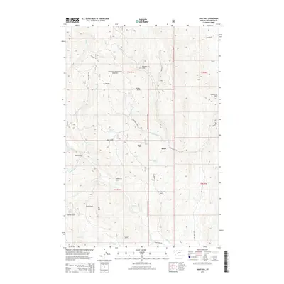 2014 Giant Hill2014 Print · USGSBroadwater County’s high forest and gulch country is documented here during the early twenty-first century. Researchers can trace historic water routes and mountain settlements through sites like Hassel, the high-altitude Elkhorn Spring, and the namesake Giant Hill.
 - 2017 Map of Giant Hill, 2017 Print
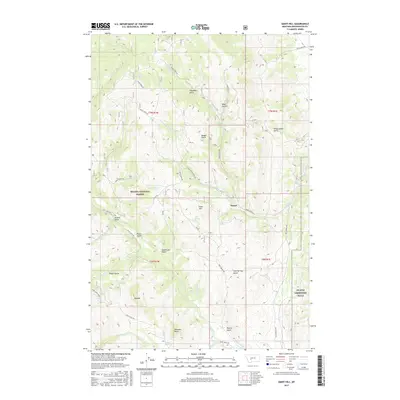 2017 Giant Hill2017 Print · USGSBroadwater County’s high country near the site of Hassel is captured here during the 2010s, showing the intersection of ranching land and military training zones. Genealogists and researchers can trace local water rights and landmarks from Elkhorn Spring to Big Mtn and the NG MTA Limestone Hills.
 - 2020 Map of Giant Hill, 2020 Print
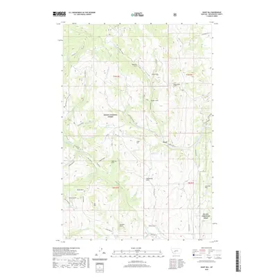 2020 Giant Hill2020 Print · USGSBroadwater County’s high country is revealed in this contemporary survey, centering on the historic site of Hassel and the eastern edge of the Helena National Forest. Researchers can trace the drainages of Crow Creek and Slim Sam Cr or locate family-named landmarks like Ribedeau Gulch and Aldrich Spring.
 - 2024 Map of Giant Hill, 2024 Print
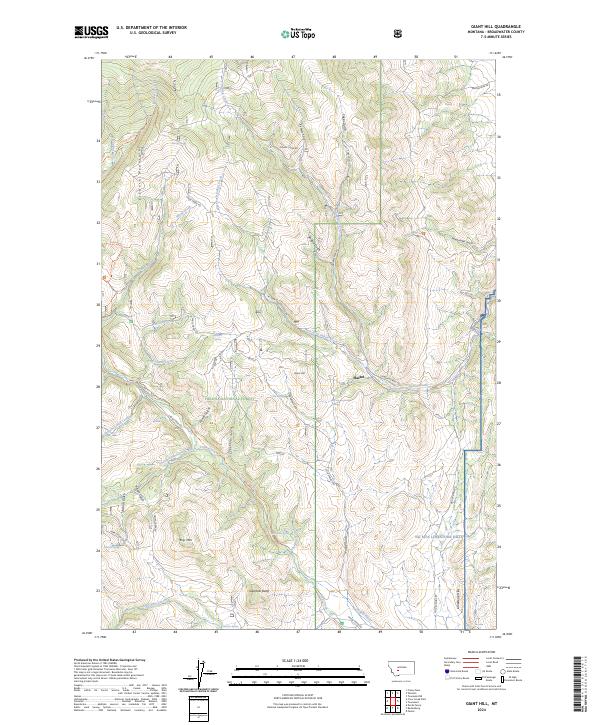 2024 Giant Hill2024 Print · USGSBroadwater County’s mining and ranching legacy is etched into this Montana landscape within the Helena National Forest. Genealogists and historians can trace old homesteads near the settlement of Hassel or locate family-named landmarks like Glendale Butte and Dawdy Ditch.
End of results
Showing maps 1-14 of 14
Top cities near Hassel (site)
Frequently asked questions
- What are the different types of historical maps available for Hassel (site)?
- What is the oldest map of Hassel (site)?
- Where can I purchase historical maps of Hassel (site) for my home or office?
- Where can I download high-res historical maps of Hassel (site)?
- Are there historical topographic maps available for Hassel (site)?
- Is there historical aerial imagery available for Hassel (site)?
- Where are historical maps of Hassel (site) sourced from?