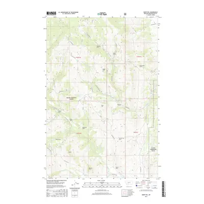
2017 Map of Giant Hill
USGS Topo · Published 2017About this map
Hassel serves as the central focal point in this high-elevation landscape within Helena National Forest. The map documents a terrain defined by complex water systems and naming conventions that suggest a history of prospecting and ranching, featuring numerous named springs like Elkhorn Spring, McClain Spring, and Aldrich Spring. To the southeast, the NG MTA Limestone Hills military training area covers the foothills, while the western portion is dominated by significant peaks and ridges including Big Mtn and Glendale Butte. The transportation network is built around specialized routes such as Silver Wave Rd and Crow Creek Rd, which navigate between prominent landforms like Giant Hill and Sagebrush Gulch. This 2017 survey provides a detailed view of the water management in the region, capturing infrastructure like the Dowdy Ditch alongside the natural drainage of Indian Cr and Slim Sam Cr.
Find a feature on this map
49 named features on this map. Tap any name to fly to it.
Don’t see what you’re looking for? This feature index may not catch every label — zoom into the map to look around manually.
Map Details
Editions of this 2017 Giant Hill Map
This is the sole edition of this map. No revisions or reprints were ever made.
Other maps of this area

1886 · Fort Logan
USGS Topo · 1:250,000

1948 · White Sulphur Springs
USGS Topo · 1:250,000

1949 · Radersburg
USGS Topo · 1:62,500

1950 · Devils Fence
USGS Topo · 1:62,500

1950 · Townsend
USGS Topo · 1:62,500

1950 · Clancy
USGS Topo · 1:62,500

1958 · White Sulphur Springs
USGS Topo · 1:250,000

1961 · White Sulphur Springs
USGS Topo · 1:250,000

1965 · White Sulphur Springs
USGS Topo · 1:250,000

1976 · Townsend
USGS Topo · 1:100,000