
1950 Map of Devils Fence
USGS Topo · Published 1950About this map
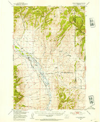
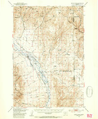
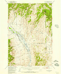
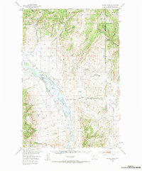
The high pastures and mineral-rich hills of Jefferson County are captured here during a period of active ranching and mid-century extraction. Centered on the Boulder Valley, the landscape is defined by the transition from the Deer Lodge National Forest and Helena National Forest into the fertile valley bottom. Local religious and social life is anchored by the Boulder Valley Church, while the surrounding territory is dotted with established holdings like the Quaintance Ranch, Doughty Ranch, and Lazy T Ranch.
Find a feature on this map
75 named features on this map. Tap any name to fly to it.
Don’t see what you’re looking for? This feature index may not catch every label — zoom into the map to look around manually.
Map Details
Editions of this 1950 Devils Fence Map
5 editions found
Other maps of this area

1886 · Fort Logan
USGS Topo · 1:250,000

1888 · Three Forks
USGS Topo · 1:250,000

1889 · Helena
USGS Topo · 1:250,000

1893 · Helena
USGS Topo · 1:250,000

1893 · Dillon
USGS Topo · 1:250,000

1894 · Three Forks
USGS Topo · 1:250,000

1895 · Three Forks
USGS Topo · 1:250,000

1899 · Boulder
USGS Topo · 1:125,000

1899 · Helena
USGS Topo · 1:250,000

1903 · Helena
USGS Topo · 1:250,000