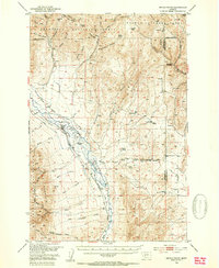
1950 Map of Devils Fence
USGS Topo · Published 1954About this map
Boulder River drainage dominates this mid-century look at Jefferson County, where the valley floor transitions into the high timber of the Deer Lodge National Forest and Helena National Forest. The landscape is a working environment of ranching and extraction, featuring a complex network of irrigation ditches and active mineral sites like the Spar Mine and Ida Mine. Local family history is centered around the Boulder Valley Church and Murphy Cem, while cattle operations are evidenced by sites such as the Lazy T Ranch and Kimpton Cow Camp. High-altitude landmarks like Bull Mountain and Dunn Canyon define the western reaches, while numerous gulches such as Hunting Gulch and Johnny Gulch carve the upland terrain between the national forest boundaries.
Find a feature on this map
60 named features on this map. Tap any name to fly to it.
Don’t see what you’re looking for? This feature index may not catch every label — zoom into the map to look around manually.
Map Details
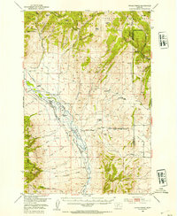
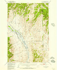
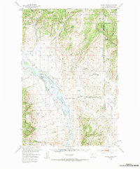
Editions of this 1950 Devils Fence Map
5 editions found

Other maps of this area

1886 · Fort Logan
USGS Topo · 1:250,000

1888 · Three Forks
USGS Topo · 1:250,000

1889 · Helena
USGS Topo · 1:250,000

1893 · Helena
USGS Topo · 1:250,000

1893 · Dillon
USGS Topo · 1:250,000

1894 · Three Forks
USGS Topo · 1:250,000

1895 · Three Forks
USGS Topo · 1:250,000

1899 · Boulder
USGS Topo · 1:125,000

1899 · Helena
USGS Topo · 1:250,000

1903 · Helena
USGS Topo · 1:250,000