
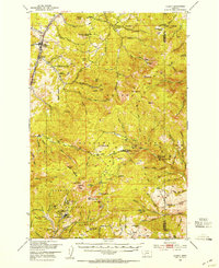
1950 Map of Clancy
USGS Topo · Published 1954About this map
Prickly Pear Creek flows through a landscape defined by its mining heritage and rugged terrain, where the Great Northern railroad services the early settlements of Clancy and Alhambra. The map reveals a dense concentration of mineral claims in the southern mountains, particularly surrounding the town of Elkhorn, which sits at the base of Elkhorn Peak. Notable operations like the Golden Age Mine, Calahan Mine, and the Big Tizer Mine are mapped alongside numerous other inactive sites, illustrating the transition from peak extraction years.
Find a feature on this map
113 named features on this map. Tap any name to fly to it.
Don’t see what you’re looking for? This feature index may not catch every label — zoom into the map to look around manually.
Map Details
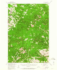
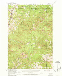
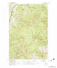
Editions of this 1950 Clancy Map
5 editions found
Other maps of this area

1886 · Fort Logan
USGS Topo · 1:250,000

1889 · Helena
USGS Topo · 1:250,000

1893 · Helena
USGS Topo · 1:250,000

1899 · Boulder
USGS Topo · 1:125,000

1899 · Helena
USGS Topo · 1:62,500

1899 · Helena
USGS Topo · 1:250,000

1903 · Helena
USGS Topo · 1:250,000

1947 · Butte
USGS Topo · 1:250,000

1948 · White Sulphur Springs
USGS Topo · 1:250,000

1949 · Radersburg
USGS Topo · 1:62,500