Loading...
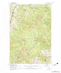
Loading map...1950 Map of Clancy
USGS Topo · Published 1983About this map
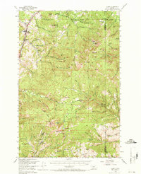
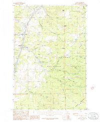
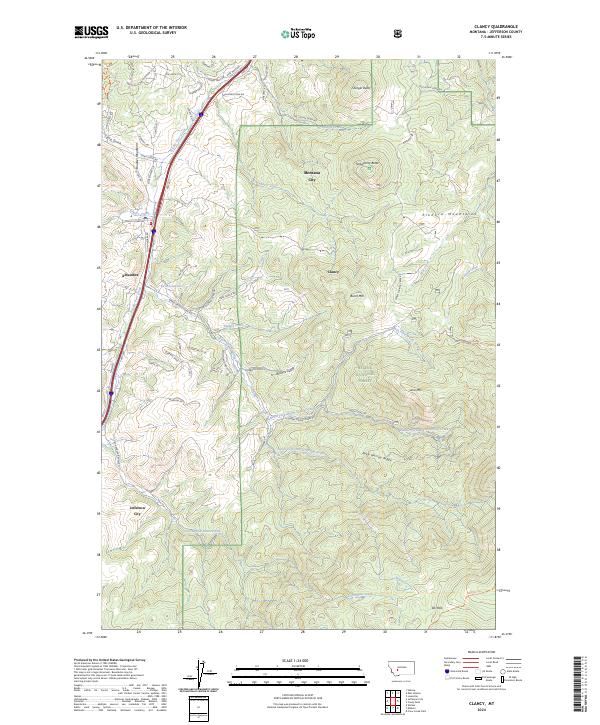
Mining operations and rugged forest service infrastructure dominate this mid-century survey of the terrain south of Helena. Elkhorn stands out as a significant mountain settlement, surrounded by a dense concentration of mineral claims including the Louise Mine, Hagan Mine, and Montana Mine. The industrial footprint of the era is further evidenced by a Tramway and Tailings near Alhambra. To the north, Clancy serves as a local hub along the Northern Pacific railroad line, which follows the course of Prickly Pear Creek.
Find a feature on this map
107 named features on this map. Tap any name to fly to it.
Don’t see what you’re looking for? This feature index may not catch every label — zoom into the map to look around manually.
Map Details
Date Portrayed1950
Date Published1983
PublisherU.S. Geological Survey
Map TypeTopographic
Scale1:62,500
Physical Dimensions18 x 21.7 inches
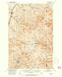
Editions of this 1950 Clancy Map
5 editions found
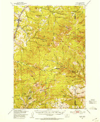
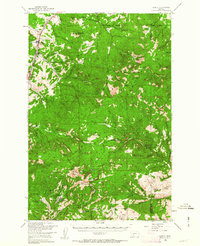
Historical Maps of Clancy Through Time
8 maps found
Featured Locations
Source Details
SourceU.S. Geological Survey
CopyrightPublic Domain