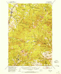
1950 Map of Clancy
USGS Topo · Published 1954About this map
Clancy (Clancy PO) and Alhambra anchor the northwestern edge of this mid-century landscape, where the Great Northern railway follows the valley of Prickly Pear Creek. The map reveals an area defined by heavy mineral extraction and forest management, with the Helena National Forest and Deer Lodge National Forest covering the high peaks and gulches. A high concentration of mining activity is centered near Elkhorn, including the Elkhorn Skyline Mine, Union Mine, and Hardcash Mine.
Find a feature on this map
112 named features on this map. Tap any name to fly to it.
Don’t see what you’re looking for? This feature index may not catch every label — zoom into the map to look around manually.
Map Details
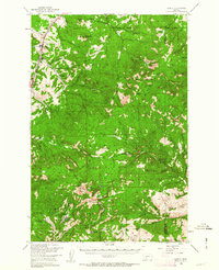
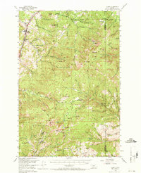
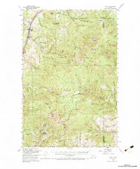
Editions of this 1950 Clancy Map
5 editions found

Other maps of this area

1886 · Fort Logan
USGS Topo · 1:250,000

1889 · Helena
USGS Topo · 1:250,000

1893 · Helena
USGS Topo · 1:250,000

1899 · Boulder
USGS Topo · 1:125,000

1899 · Helena
USGS Topo · 1:62,500

1899 · Helena
USGS Topo · 1:250,000

1903 · Helena
USGS Topo · 1:250,000

1947 · Butte
USGS Topo · 1:250,000

1948 · White Sulphur Springs
USGS Topo · 1:250,000

1949 · Radersburg
USGS Topo · 1:62,500