
1950 Map of Townsend
USGS Topo · Published 1953About this map
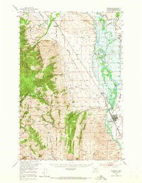
Townsend and the winding Missouri River anchor this mid-century survey of the Broadwater County landscape. The map captures a critical transition for the valley, depicting the blue hachured area designated for the proposed Canyon Ferry Reservoir, which would eventually alter the lowlands near Canton and Bedford. Along the riverbanks, a complex network of irrigation projects like the Yankee Jim Ditch and various unnamed canals supported local agriculture, while the Northern Pacific railroad followed the river's course through the valley floor.
Find a feature on this map
54 named features on this map. Tap any name to fly to it.
Don’t see what you’re looking for? This feature index may not catch every label — zoom into the map to look around manually.
Map Details
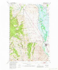
Editions of this 1950 Townsend Map
3 editions found
Other maps of this area

1886 · Fort Logan
USGS Topo · 1:250,000

1948 · White Sulphur Springs
USGS Topo · 1:250,000

1949 · Radersburg
USGS Topo · 1:62,500

1949 · Toston
USGS Topo · 1:62,500

1950 · Devils Fence
USGS Topo · 1:62,500

1950 · Canyon Ferry
USGS Topo · 1:62,500

1950 · Duck Creek Pass
USGS Topo · 1:62,500

1950 · East Helena
USGS Topo · 1:62,500

1950 · Clancy
USGS Topo · 1:62,500

1958 · White Sulphur Springs
USGS Topo · 1:250,000