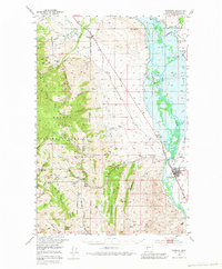
1950 Map of Townsend
USGS Topo · Published 1983About this map
The Missouri River valley and its surrounding mining districts dominate this 1950 survey, anchored by the settlement of Townsend. The landscape transitions from the river's fertile floodplain, woven with irrigation features like Dowdy Ditch and the Aqueduct, into the steep slopes of the Helena National Forest. A high concentration of lode mining activity is evident in the western gulches, where operations such as the East Pacific Mine, Kleinschmidt Mine, and Diamond Hill Mine indicate the region's enduring reliance on mineral extraction.
Find a feature on this map
64 named features on this map. Tap any name to fly to it.
Don’t see what you’re looking for? This feature index may not catch every label — zoom into the map to look around manually.
Map Details
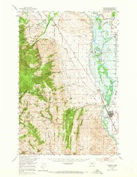
Editions of this 1950 Townsend Map
3 editions found
Other maps of this area

1886 · Fort Logan
USGS Topo · 1:250,000

1948 · White Sulphur Springs
USGS Topo · 1:250,000

1949 · Radersburg
USGS Topo · 1:62,500

1949 · Toston
USGS Topo · 1:62,500

1950 · Devils Fence
USGS Topo · 1:62,500

1950 · Canyon Ferry
USGS Topo · 1:62,500

1950 · Townsend
USGS Topo · 1:62,500

1950 · Duck Creek Pass
USGS Topo · 1:62,500

1950 · East Helena
USGS Topo · 1:62,500

1950 · Clancy
USGS Topo · 1:62,500