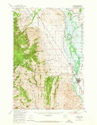
1950 Map of Townsend
USGS Topo · Published 1965About this map
The Missouri River valley in Broadwater County is captured here at a mid-century moment before significant modern changes. The town of Townsend serves as a hub for the agricultural and transport corridor along the Northern Pacific railroad, while the surrounding landscape is marked by remnants of industrial history. Mining activity is evident in the foothills with the Diamond Hill Mine and Iron Mask Mine, illustrating the intersection of hard-rock extraction and cattle ranching at the Whitehead Ranch. To the east, the sprawling basin features early water management infrastructure like the Yankee Ditch. Much of the western terrain is dominated by the steep slopes of the Helena National Forest, where drainages like Indian Creek and Beaver Creek flow toward the valley floor, passing through small settlements like Winston and Bedford.
Find a feature on this map
46 named features on this map. Tap any name to fly to it.
Don’t see what you’re looking for? This feature index may not catch every label — zoom into the map to look around manually.
Map Details
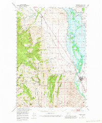
Editions of this 1950 Townsend Map
3 editions found
Other maps of this area

1886 · Fort Logan
USGS Topo · 1:250,000

1948 · White Sulphur Springs
USGS Topo · 1:250,000

1949 · Radersburg
USGS Topo · 1:62,500

1949 · Toston
USGS Topo · 1:62,500

1950 · Devils Fence
USGS Topo · 1:62,500

1950 · Canyon Ferry
USGS Topo · 1:62,500

1950 · Townsend
USGS Topo · 1:62,500

1950 · Duck Creek Pass
USGS Topo · 1:62,500

1950 · East Helena
USGS Topo · 1:62,500

1950 · Clancy
USGS Topo · 1:62,500