Old Maps of Fairhaven Hutterite Colony, Montana for Metal Detecting
Plan your next treasure hunt with 12 historic maps of Fairhaven Hutterite Colony. Find old homesites, ghost towns, trails, and gathering spots that may be lost to time — perfect for identifying promising metal detecting locations.
- Locate forgotten sites: Uncover places like long-lost settlements, abandoned rail lines, or gathering spots.
- Plan better hunts: Use map overlays combined with LiDAR or satellite views to narrow in on historically rich areas.
- Made for detectorists: Thousands of hobbyists use these maps to discover relics, coins, and hidden history.
Use these historic maps to boost your research and find new opportunities beneath the surface of Fairhaven Hutterite Colony.
Fairhaven Hutterite Colony, MT maps
(12)- 1886 Map of Great Falls
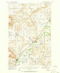
 1886 Great Falls1886 Print · USGSCentral Montana in the mid-1880s is defined by its great river systems and the early footprints of frontier outposts. Researchers can trace the early development of Great Falls, find the site of St. Peter's Mission, and locate river settlements like Truly and Fort Shaw.4 unique versions available
 - 1949 Map of Cascade, 1956 Print
 1949 Cascade1956 Print · USGSCascade and Ulm are captured here at the mid-century point, during a period of steady ranching and river-side development along the Missouri River. Genealogists and historians can locate the Castner Falls Cem, Superior School, and the defunct Elizabeth Reservoir.2 unique versions available
 - 1951 Map of Cascade
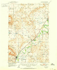 1951 Cascade1951 Print · USGSMid-century Montana comes into focus as the Missouri River winds past the growing settlements and cattle country of Cascade County. Researchers can trace family sites near Superior School, the Castner Falls Cemetery, and the Great Northern rail line.2 unique versions available
 - 1954 Map of Great Falls
 1954 Great Falls1954 Print · USGSThe Missouri River valley in the mid-1950s is shown at a time of significant industrial and military growth. Genealogists and historians can locate early schools and rail stops like Tiger Butte Community Center, Fort Benton, and the Anaconda Wire Plant.4 unique versions available
 - 1957 Map of Great Falls
 1957 Great Falls1957 Print · USGSMontana's central plains and mountain foothills are captured here in the mid-fifties, showing the hub of Great Falls and the surrounding grain-shipping towns. Genealogists can trace family roots through the rail sidings of the Great Northern and small rural communities like Sand Coulee or Fort Benton.
 - 1976 Map of Great Falls South, 1994 Print
 1976 Great Falls South1994 Print · USGSCascade County in the mid-seventies reveals a landscape defined by the winding Missouri River and the high peaks of the Little Belt Mountains. Researchers can trace the heritage of mining settlements like Centerville, Stockett, and Number Seven or explore the boundaries of the Lewis and Clark National Forest.
 - 1983 Map of Fair Haven Colony
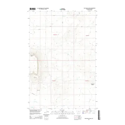
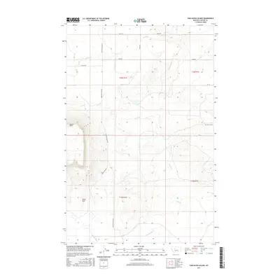
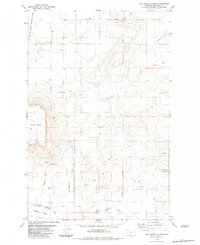 1983 Fair Haven Colony1983 Print · USGSThe Cascade County plains come into focus in the early eighties, centered on the Fair Haven Colony. Researchers can trace the Old Fort Shaw Military Reservation Boundary or locate specific landmarks like Square Butte and the Landing Strip.2 unique versions available
 - 2011 Map of Fair Haven Colony, 2011 Print
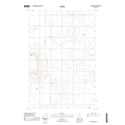
 2011 Fair Haven Colony2011 Print · USGSCovers Fairhaven Hutterite Colony, including Cascade County, United States, and other nearby areas
 - 2014 Map of Fair Haven Colony, 2014 Print
 2014 Fair Haven Colony2014 Print · USGSCovers Fairhaven Hutterite Colony, including Cascade County, United States, and other nearby areas
 - 2017 Map of Fair Haven Colony, 2017 Print
 2017 Fair Haven Colony2017 Print · USGSCovers Fairhaven Hutterite Colony, including Cascade County, United States, and other nearby areas
 - 2020 Map of Fair Haven Colony, 2020 Print
 2020 Fair Haven Colony2020 Print · USGSCovers Fairhaven Hutterite Colony, including Cascade County, United States, and other nearby areas
 - 2024 Map of Fair Haven Colony, 2024 Print
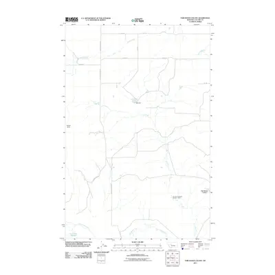
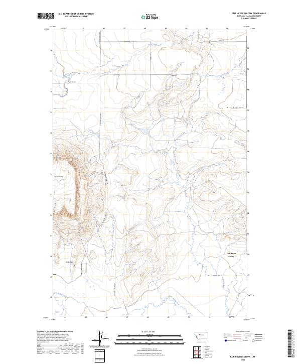 2024 Fair Haven Colony2024 Print · USGSCascade County ranching country comes into focus in this contemporary survey of the high plains. Researchers can trace the rural infrastructure around Fair Haven Colony and landmark formations like Square Butte and Rocky Reef.
End of results
Showing maps 1-12 of 12
Top cities near Fairhaven Hutterite Colony
Frequently asked questions
- What are the different types of historical maps available for Fairhaven Hutterite Colony?
- What is the oldest map of Fairhaven Hutterite Colony?
- Where can I purchase historical maps of Fairhaven Hutterite Colony for my home or office?
- Where can I download high-res historical maps of Fairhaven Hutterite Colony?
- Are there historical topographic maps available for Fairhaven Hutterite Colony?
- Is there historical aerial imagery available for Fairhaven Hutterite Colony?
- Where are historical maps of Fairhaven Hutterite Colony sourced from?