Old Maps of Ulmer, Montana for Genealogy
Trace your family roots with 10 historic maps of Ulmer. These high-res maps reveal old neighborhoods, homesites, landmarks, and streets — helping you uncover where your ancestors lived and how the area evolved over time.
- Explore historic neighborhoods: Identify where your relatives may have lived in the 1800s or 1900s.
- Compare maps over time: Trace the changes in streets, buildings, and landmarks for multi-generational research.
- Perfect for genealogy & ancestry research: Used by family historians and researchers to map out lineage and migration.
These maps are an incredible resource for exploring your personal connection to Ulmer's past.
Ulmer, MT maps
(10)- 1953 Map of Miles City, 1966 Print
 1953 Miles City1966 Print · USGSEastern Montana and the North Dakota borderlands come alive in this mid-century survey of the Yellowstone River valley. Genealogists and historians can trace the rural network of the era through sites like Fertile Prairie School, St Johns Church, and the rail lines serving Ismay and Plevna.4 unique versions available
 - 1957 Map of Miles City
 1957 Miles City1957 Print · USGSEastern Montana and the North Dakota borderlands come alive in the mid-fifties as the rail and ranching economy peaks along the Yellowstone River. Genealogists and historians can trace numerous rural landmarks like St Phillips Church, Fertile Prairie School, and the Ostendorf Ranch.
 - 1958 Map of Miles City
 1958 Miles City1958 Print · USGSEastern Montana ranching and rail life are documented here during the late fifties, centered on the confluence of the Yellowstone River and Powder River. Researchers can trace rural school locations like St Phillips Church and Chimney Creek School alongside dozens of named family ranches.
 - 1968 Map of Lignite Creek, 1972 Print
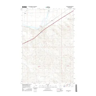
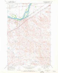 1968 Lignite Creek1972 Print · USGSCuster County's river valley and military history intersect in the late sixties as rail lines and historic routes trace the northern plains. Researchers can locate the Old Fort Keogh Military Reservation Boundary or follow the Lewis and Clark Trail past Paragon and Ulmer.2 unique versions available
 - 1980 Map of Miles City, 1982 Print
 1980 Miles City1982 Print · USGSCuster County was a vital rail and river corridor in the late 1970s, anchored by the confluence of the Yellowstone River and Tongue River. Researchers can trace the paths of the Burlington Northern railroad and find the Beebe (Site) among the ridges of The Pine Hills.
 - 2011 Map of Lignite Creek, 2011 Print
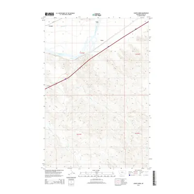
 2011 Lignite Creek2011 Print · USGSCovers Ulmer, including Custer County, United States, and other nearby areas
 - 2014 Map of Lignite Creek, 2014 Print
 2014 Lignite Creek2014 Print · USGSCovers Ulmer, including Custer County, United States, and other nearby areas
 - 2017 Map of Lignite Creek, 2017 Print
 2017 Lignite Creek2017 Print · USGSCovers Ulmer, including Custer County, United States, and other nearby areas
 - 2020 Map of Lignite Creek, 2020 Print
 2020 Lignite Creek2020 Print · USGSCovers Ulmer, including Custer County, United States, and other nearby areas
 - 2024 Map of Lignite Creek, 2024 Print
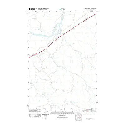
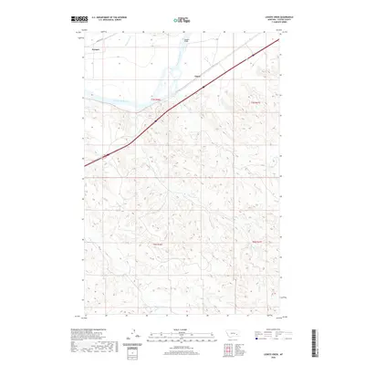
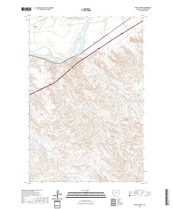 2024 Lignite Creek2024 Print · USGSCuster County's river-valley geography is captured here in the contemporary era, centered on the historic corridor of the Yellowstone River. Researchers can trace the rail-adjacent settlements of Paragon and Ulmer or follow the winding paths of Lignite Creek and Coal Creek.
End of results
Showing maps 1-10 of 10
Top cities near Ulmer
Frequently asked questions
- What are the different types of historical maps available for Ulmer?
- What is the oldest map of Ulmer?
- Where can I purchase historical maps of Ulmer for my home or office?
- Where can I download high-res historical maps of Ulmer?
- Are there historical topographic maps available for Ulmer?
- Is there historical aerial imagery available for Ulmer?
- Where are historical maps of Ulmer sourced from?