Old Maps of Whitetail, Montana for Genealogy
Trace your family roots with 9 historic maps of Whitetail. These high-res maps reveal old neighborhoods, homesites, landmarks, and streets — helping you uncover where your ancestors lived and how the area evolved over time.
- Explore historic neighborhoods: Identify where your relatives may have lived in the 1800s or 1900s.
- Compare maps over time: Trace the changes in streets, buildings, and landmarks for multi-generational research.
- Perfect for genealogy & ancestry research: Used by family historians and researchers to map out lineage and migration.
These maps are an incredible resource for exploring your personal connection to Whitetail's past.
Whitetail, MT maps
(9)- 1954 Map of Wolf Point, 1967 Print
 1954 Wolf Point1967 Print · USGSNortheastern Montana and the North Dakota borderlands are shown here in the mid-fifties, dominated by the Missouri River and the Fort Peck Indian Reservation. Genealogists and historians can trace the Great Northern rail line through river towns like Poplar and Culbertson or locate northern border outposts like the U S Custom Office at Raymond.2 unique versions available
 - 1958 Map of Wolf Point
 1958 Wolf Point1958 Print · USGSNortheastern Montana is shown during the mid-fifties, featuring the extensive Fort Peck Indian Reservation and the Missouri River valley. Researchers can trace the Great Northern railroad through Wolf Point or locate sites like Slab Crossing and the Coal Mine near Medicine Lake.
 - 1973 Map of Whitetail, 1976 Print
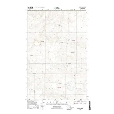
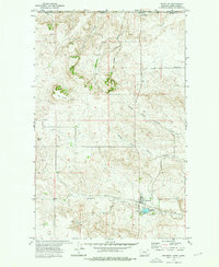 1973 Whitetail1976 Print · USGSThe Montana-Saskatchewan borderlands come into focus in the early 1970s, centered on the rail-to-road transition at the international line. Trace the historic Soo Line tracks to the border crossing at Canadian Customs Whitetail Port of Entry and the town of Whitetail.
 - 1983 Map of Scobey, 1984 Print
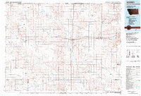 1983 Scobey1984 Print · USGSNorthern Montana prairie life during the early eighties centered on the grain-hauling rail lines and the winding Poplar River forks. Genealogists and historians can trace old homesteads near Whitetail, Peerless, and the Fort Peck Indian Reservation Boundary.
 - 2011 Map of Whitetail, 2011 Print
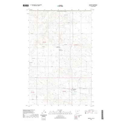
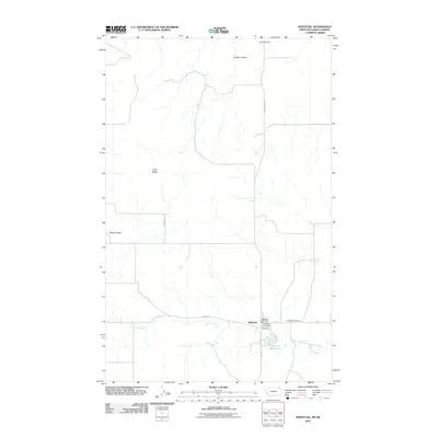 2011 Whitetail2011 Print · USGSCovers Whitetail, including Hart Butte No. 11, Daniels County, and other nearby areas
 - 2014 Map of Whitetail, 2014 Print
 2014 Whitetail2014 Print · USGSCovers Whitetail, including Hart Butte No. 11, Daniels County, and other nearby areas
 - 2017 Map of Whitetail, 2017 Print
 2017 Whitetail2017 Print · USGSCovers Whitetail, including Hart Butte No. 11, Daniels County, and other nearby areas
 - 2020 Map of Whitetail, 2020 Print
 2020 Whitetail2020 Print · USGSCovers Whitetail, including Hart Butte No. 11, Daniels County, and other nearby areas
 - 2024 Map of Whitetail, 2024 Print
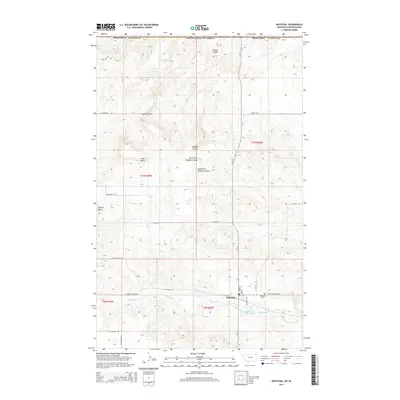
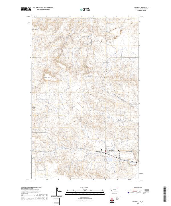 2024 Whitetail2024 Print · USGSDaniels County, Montana, is documented in the 2020s as a quiet borderland shaped by the Great Plains. Researchers can locate the Whitetail Cem and trace the winding paths of Whitetail Creek and Outlaw Coulee through this northern landscape.
End of results
Showing maps 1-9 of 9
Top cities near Whitetail
Frequently asked questions
- What are the different types of historical maps available for Whitetail?
- What is the oldest map of Whitetail?
- Where can I purchase historical maps of Whitetail for my home or office?
- Where can I download high-res historical maps of Whitetail?
- Are there historical topographic maps available for Whitetail?
- Is there historical aerial imagery available for Whitetail?
- Where are historical maps of Whitetail sourced from?