Old Maps of Deer Lodge County, Montana for Metal Detecting
Plan your next treasure hunt with 77 historic maps of Deer Lodge County. Find old homesites, ghost towns, trails, and gathering spots that may be lost to time — perfect for identifying promising metal detecting locations.
- Locate forgotten sites: Uncover places like long-lost settlements, abandoned rail lines, or gathering spots.
- Plan better hunts: Use map overlays combined with LiDAR or satellite views to narrow in on historically rich areas.
- Made for detectorists: Thousands of hobbyists use these maps to discover relics, coins, and hidden history.
Use these historic maps to boost your research and find new opportunities beneath the surface of Deer Lodge County.
Deer Lodge County, MT maps
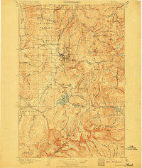
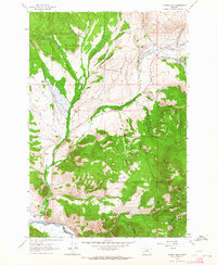
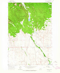
(77)- 1889 Map of Helena
 1889 Helena1889 Print · USGSCovers Deer Lodge County, including Butte, Helena, and other nearby areas
 - 1893 Map of Helena
 1893 Helena1893 Print · USGSCovers Deer Lodge County, including Butte, Helena, and other nearby areas2 unique versions available
 - 1893 Map of Dillon
 1893 Dillon1893 Print · USGSCovers Deer Lodge County, including Butte, Dillon, and other nearby areas5 unique versions available
 - 1899 Map of Helena, 1956 Print
 1899 Helena1956 Print · USGSCovers Deer Lodge County, including Butte, Helena, and other nearby areas
 - 1903 Map of Helena
 1903 Helena1903 Print · USGSCovers Deer Lodge County, including Butte, Helena, and other nearby areas4 unique versions available
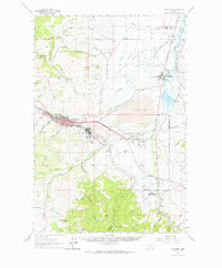
 - 1908 Map of Philipsburg
 1908 Philipsburg1908 Print · USGSCovers Deer Lodge County, including Philipsburg, Porters Corner, and other nearby areas3 unique versions available
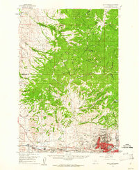
 - 1947 Map of Butte, 1949 Print
 1947 Butte1949 Print · USGSCovers Deer Lodge County, including Missoula, Butte, and other nearby areas2 unique versions available
 - 1955 Map of Dillon, 1978 Print
 1955 Dillon1978 Print · USGSCovers Deer Lodge County, including Butte, Dillon, and other nearby areas2 unique versions available
 - 1957 Map of Dillon
 1957 Dillon1957 Print · USGSCovers Deer Lodge County, including Butte, Dillon, and other nearby areas
 - 1958 Map of Butte
 1958 Butte1958 Print · USGSCovers Deer Lodge County, including Missoula, Butte, and other nearby areas5 unique versions available
 - 1958 Map of Dillon
 1958 Dillon1958 Print · USGSCovers Deer Lodge County, including Butte, Dillon, and other nearby areas
 - 1959 Map of Butte North, 1961 Print
 1959 Butte North1961 Print · USGSCovers Deer Lodge County, including Butte, Walkerville, and other nearby areas3 unique versions available
 - 1959 Map of Deer Lodge, 1961 Print
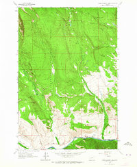
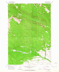
 1959 Deer Lodge1961 Print · USGSCovers Deer Lodge County, including Deer Lodge, Racetrack, and other nearby areas2 unique versions available
 - 1960 Map of Butte
 1960 Butte1960 Print · USGSCovers Deer Lodge County, including Missoula, Butte, and other nearby areas
 - 1961 Map of Dickie Peak, 1964 Print
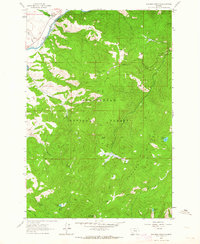
 1961 Dickie Peak1964 Print · USGSCovers Deer Lodge County, including Butte, French Town, and other nearby areas2 unique versions available
 - 1961 Map of Anaconda, 1964 Print
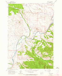
 1961 Anaconda1964 Print · USGSCovers Deer Lodge County, including Butte, Anaconda, and other nearby areas
 - 1962 Map of Butte
 1962 Butte1962 Print · USGSCovers Deer Lodge County, including Missoula, Butte, and other nearby areas
 - 1962 Map of Dillon
 1962 Dillon1962 Print · USGSCovers Deer Lodge County, including Butte, Dillon, and other nearby areas
 - 1962 Map of Lincoln Gulch, 1964 Print
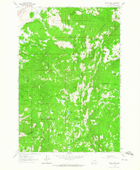
 1962 Lincoln Gulch1964 Print · USGSCovers Deer Lodge County, including Butte, Silver Bow County, and other nearby areas3 unique versions available
 - 1962 Map of Lower Seymour Lake, 1964 Print
 1962 Lower Seymour Lake1964 Print · USGSCovers Deer Lodge County, including Beaverhead County, United States, and other nearby areas3 unique versions available
 - 1962 Map of Pine Hill, 1964 Print
 1962 Pine Hill1964 Print · USGSCovers Deer Lodge County, including Beaverhead County, United States, and other nearby areas2 unique versions available
 - 1962 Map of Dickie Hills, 1964 Print
 1962 Dickie Hills1964 Print · USGSCovers Deer Lodge County, including Butte, Silver Bow County, and other nearby areas4 unique versions available
 - 1962 Map of Foolhen Mountain, 1964 Print
 1962 Foolhen Mountain1964 Print · USGSCovers Deer Lodge County, including Fishtrap, Beaverhead County, and other nearby areas3 unique versions available
 - 1962 Map of Pintlar Lake, 1964 Print
 1962 Pintlar Lake1964 Print · USGSCovers Deer Lodge County, including Beaverhead County, United States, and other nearby areas2 unique versions available
 - 1962 Map of Long Peak, 1964 Print
 1962 Long Peak1964 Print · USGSCovers Deer Lodge County, including United States, Montana, and other nearby areas2 unique versions available
Showing maps 1-25 of 77
Top cities of Deer Lodge County
Frequently asked questions
- What are the different types of historical maps available for Deer Lodge County?
- What is the oldest map of Deer Lodge County?
- Where can I purchase historical maps of Deer Lodge County for my home or office?
- Where can I download high-res historical maps of Deer Lodge County?
- Are there historical topographic maps available for Deer Lodge County?
- Is there historical aerial imagery available for Deer Lodge County?
- Where are historical maps of Deer Lodge County sourced from?