Old Maps of Baker, Montana for Hiking & Exploration
Hike through history with 10 historic maps of Baker. Explore old trails, ghost towns, and forgotten backroads — perfect for outdoor adventurers and local explorers.
- Rediscover forgotten places: Map out old mining camps, roads, and footpaths that no longer exist on modern maps.
- Layer with modern tools: Combine with LiDAR or satellite views to plan hikes through historical terrain.
- Made for exploration: Popular among hikers, overlanders, and local history lovers.
Use these maps to find adventure and explore the hidden past of Baker.
Baker, MT maps
(10)- 1953 Map of Miles City, 1966 Print
 1953 Miles City1966 Print · USGSEastern Montana and the North Dakota borderlands come alive in this mid-century survey of the Yellowstone River valley. Genealogists and historians can trace the rural network of the era through sites like Fertile Prairie School, St Johns Church, and the rail lines serving Ismay and Plevna.4 unique versions available
 - 1957 Map of Miles City
 1957 Miles City1957 Print · USGSEastern Montana and the North Dakota borderlands come alive in the mid-fifties as the rail and ranching economy peaks along the Yellowstone River. Genealogists and historians can trace numerous rural landmarks like St Phillips Church, Fertile Prairie School, and the Ostendorf Ranch.
 - 1958 Map of Miles City
 1958 Miles City1958 Print · USGSEastern Montana ranching and rail life are documented here during the late fifties, centered on the confluence of the Yellowstone River and Powder River. Researchers can trace rural school locations like St Phillips Church and Chimney Creek School alongside dozens of named family ranches.
 - 1981 Map of Baker
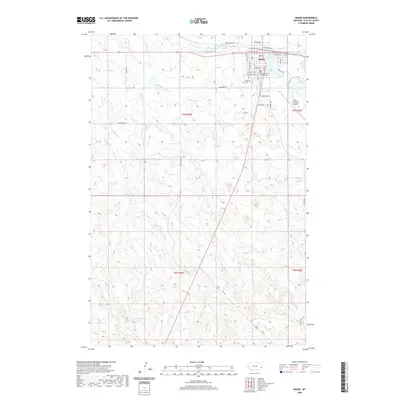
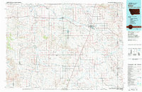 1981 Baker1981 Print · USGSThe Montana-North Dakota borderlands are captured here in the early 1980s, showcasing the high plains ranching and rail corridor. Genealogists can locate rural landmarks like Lame Jones School and the Milwaukee Road railroad route through Plevna and Ismay.
 - 1981 Map of Baker
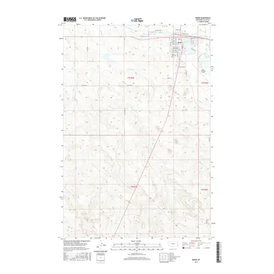
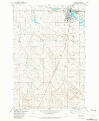 1981 Baker1981 Print · USGSBaker stands at the center of the Fallon County prairie during the early 1980s, serving as a vital hub for the railroad and energy industries. Researchers can trace the legacy of the Pennell Oil Field, locate the St John Cemetery, and see the town's social layout from the Fairground to the High Sch.
 - 2011 Map of Baker, 2011 Print
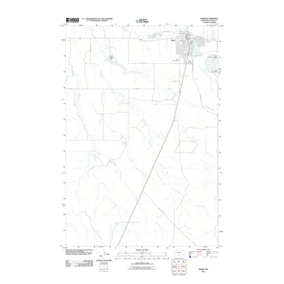 2011 Baker2011 Print · USGSCovers Baker, including Fallon County, United States, and other nearby areas
 - 2014 Map of Baker, 2014 Print
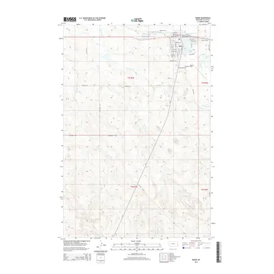 2014 Baker2014 Print · USGSCovers Baker, including Fallon County, United States, and other nearby areas
 - 2017 Map of Baker, 2017 Print
 2017 Baker2017 Print · USGSCovers Baker, including Fallon County, United States, and other nearby areas
 - 2020 Map of Baker, 2020 Print
 2020 Baker2020 Print · USGSCovers Baker, including Fallon County, United States, and other nearby areas
 - 2024 Map of Baker, 2024 Print
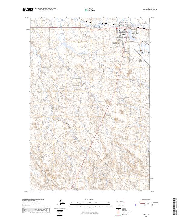 2024 Baker2024 Print · USGSFallon County's seat of Baker is shown in detail during its modern era, centered on the shores of Lake Baker. Researchers can locate civic landmarks like the Fallon County Courthouse and family sites near Saint John The Evangelist Cem.
End of results
Showing maps 1-10 of 10
Frequently asked questions
- What are the different types of historical maps available for Baker?
- What is the oldest map of Baker?
- Where can I purchase historical maps of Baker for my home or office?
- Where can I download high-res historical maps of Baker?
- Are there historical topographic maps available for Baker?
- Is there historical aerial imagery available for Baker?
- Where are historical maps of Baker sourced from?