Old Maps of Roy, Montana for Genealogy
Trace your family roots with 9 historic maps of Roy. These high-res maps reveal old neighborhoods, homesites, landmarks, and streets — helping you uncover where your ancestors lived and how the area evolved over time.
- Explore historic neighborhoods: Identify where your relatives may have lived in the 1800s or 1900s.
- Compare maps over time: Trace the changes in streets, buildings, and landmarks for multi-generational research.
- Perfect for genealogy & ancestry research: Used by family historians and researchers to map out lineage and migration.
These maps are an incredible resource for exploring your personal connection to Roy's past.
Roy, MT maps
(9)- 1954 Map of Lewistown, 1967 Print
 1954 Lewistown1967 Print · USGSCentral Montana at the height of the mid-century rail era reveals a landscape shaped by the Judith River and high mountain ranges. Trace the old lines of the Great Northern through Lewistown and Denton, or locate sites like Giltedge and Landusky.3 unique versions available
 - 1959 Map of Lewistown
 1959 Lewistown1959 Print · USGSCentral Montana in the mid-1950s shows a landscape defined by the winding Missouri River and the rise of the South Moccasin Mtns. Researchers can trace the rail lines of the Great Northern through towns like Winifred and locate the Cat Creek Oil Field.3 unique versions available
 - 1985 Map of Roy
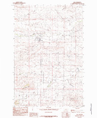 1985 Roy1985 Print · USGSThe ranching community of Roy is shown during the mid-1980s, revealing the town's structure and the surrounding Fergus County drainage basins. Researchers can trace the path of the Old RR Grade or locate landmarks like the Athletic Field and Butte.
 - 1986 Map of Winnett, 1994 Print
 1986 Winnett1994 Print · USGSCentral Montana ranching country is shown here in the mid-1980s as the rail era had given way to modern highways. Researchers can trace the Old Railroad Grade past Teigen or locate family sites near Wild Horse Lake and the War Horse National Wildlife Refuge.
 - 2011 Map of Roy, 2011 Print
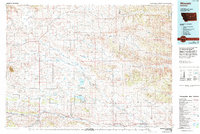
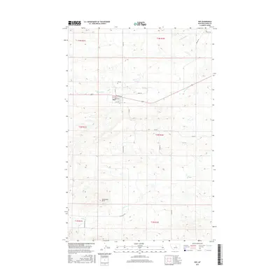
 2011 Roy2011 Print · USGSCovers Roy, including Fergus County, United States, and other nearby areas
 - 2014 Map of Roy, 2014 Print
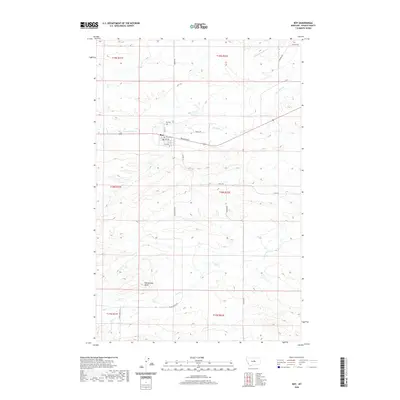
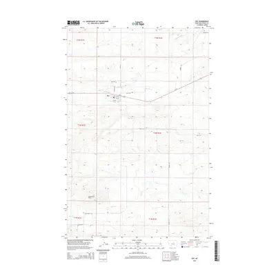 2014 Roy2014 Print · USGSCovers Roy, including Fergus County, United States, and other nearby areas
 - 2017 Map of Roy, 2017 Print
 2017 Roy2017 Print · USGSCovers Roy, including Fergus County, United States, and other nearby areas
 - 2020 Map of Roy, 2020 Print
 2020 Roy2020 Print · USGSCovers Roy, including Fergus County, United States, and other nearby areas
 - 2024 Map of Roy, 2024 Print
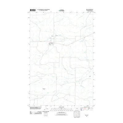
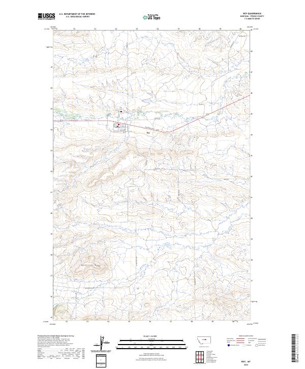 2024 Roy2024 Print · USGSThe community of Roy is documented here in the 2020s, showing the intersection of local town life and the vast Montana prairie. Genealogists and researchers can trace local landmarks like the Roy Cem or follow the paths of Box Elder Creek and the Sacagawea River.
End of results
Showing maps 1-9 of 9
Frequently asked questions
- What are the different types of historical maps available for Roy?
- What is the oldest map of Roy?
- Where can I purchase historical maps of Roy for my home or office?
- Where can I download high-res historical maps of Roy?
- Are there historical topographic maps available for Roy?
- Is there historical aerial imagery available for Roy?
- Where are historical maps of Roy sourced from?