Old Maps of Winifred, Montana for Metal Detecting
Plan your next treasure hunt with 14 historic maps of Winifred. Find old homesites, ghost towns, trails, and gathering spots that may be lost to time — perfect for identifying promising metal detecting locations.
- Locate forgotten sites: Uncover places like long-lost settlements, abandoned rail lines, or gathering spots.
- Plan better hunts: Use map overlays combined with LiDAR or satellite views to narrow in on historically rich areas.
- Made for detectorists: Thousands of hobbyists use these maps to discover relics, coins, and hidden history.
Use these historic maps to boost your research and find new opportunities beneath the surface of Winifred.
Winifred, MT maps
(14)- 1954 Map of Lewistown, 1967 Print
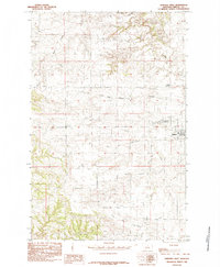
 1954 Lewistown1967 Print · USGSCentral Montana at the height of the mid-century rail era reveals a landscape shaped by the Judith River and high mountain ranges. Trace the old lines of the Great Northern through Lewistown and Denton, or locate sites like Giltedge and Landusky.3 unique versions available
 - 1959 Map of Lewistown
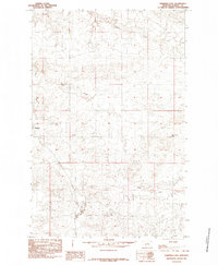
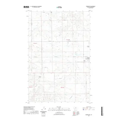
 1959 Lewistown1959 Print · USGSCentral Montana in the mid-1950s shows a landscape defined by the winding Missouri River and the rise of the South Moccasin Mtns. Researchers can trace the rail lines of the Great Northern through towns like Winifred and locate the Cat Creek Oil Field.3 unique versions available
 - 1985 Map of Winifred East
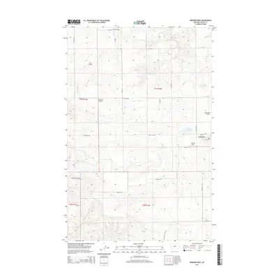
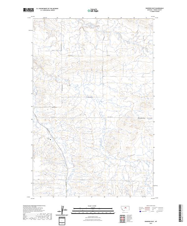
 1985 Winifred East1985 Print · USGSFergus County ranching country is captured here during the mid-eighties, showing the high plains landscape around the town of Winifred. Genealogists and local historians can trace the drainages of Rose Creek and Dog Creek or locate the landmark of Bloomfield Butte.
 - 1985 Map of Winifred West
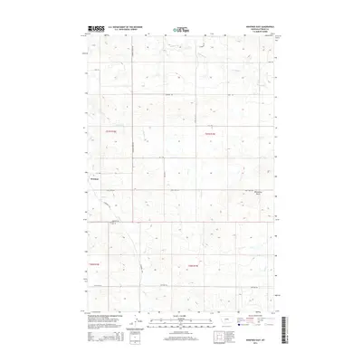
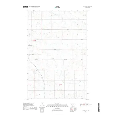
 1985 Winifred West1985 Print · USGSFergus County ranchlands in the mid-1980s are centered on the vital grain-hauling hub of Winifred. Researchers can trace the drainage patterns of Dog Creek and Sig Larson Coulee or locate regional crossroads like Yaaps Corner and the Stafford Reservoir.
 - 2011 Map of Winifred West, 2011 Print
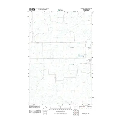 2011 Winifred West2011 Print · USGSCovers Winifred, including Fergus County, United States, and other nearby areas
 - 2011 Map of Winifred East, 2011 Print
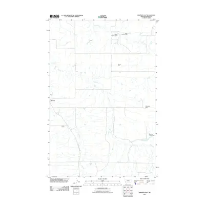 2011 Winifred East2011 Print · USGSCovers Winifred, including Fergus County, United States, and other nearby areas
 - 2014 Map of Winifred East, 2014 Print
 2014 Winifred East2014 Print · USGSCovers Winifred, including Fergus County, United States, and other nearby areas
 - 2014 Map of Winifred West, 2014 Print
 2014 Winifred West2014 Print · USGSCovers Winifred, including Fergus County, United States, and other nearby areas
 - 2017 Map of Winifred West, 2017 Print
 2017 Winifred West2017 Print · USGSCovers Winifred, including Fergus County, United States, and other nearby areas
 - 2017 Map of Winifred East, 2017 Print
 2017 Winifred East2017 Print · USGSCovers Winifred, including Fergus County, United States, and other nearby areas
 - 2020 Map of Winifred West, 2020 Print
 2020 Winifred West2020 Print · USGSCovers Winifred, including Fergus County, United States, and other nearby areas
 - 2020 Map of Winifred East, 2020 Print
 2020 Winifred East2020 Print · USGSCovers Winifred, including Fergus County, United States, and other nearby areas
 - 2024 Map of Winifred West, 2024 Print
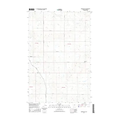
 2024 Winifred West2024 Print · USGSThe community of Winifred and the surrounding Fergus County plains are captured here in a detailed modern snapshot. Genealogists and local historians can trace family land ties via Kucera Rd, Heggem Ln, and landmarks like Stafford Reservoir.
 - 2024 Map of Winifred East, 2024 Print
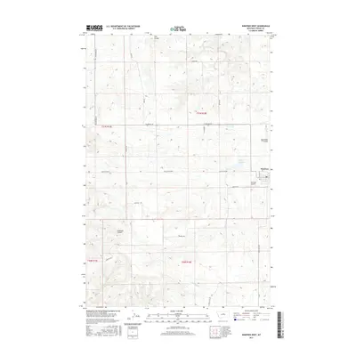
 2024 Winifred East2024 Print · USGSFergus County ranchlands are documented here in the early twenty-first century, showing the enduring grid of prairie roads and creek drainages. Researchers can trace family-named routes like Rappe Hill Rd or locate the historic Winifred Cem near the town's edge.
End of results
Showing maps 1-14 of 14
Frequently asked questions
- What are the different types of historical maps available for Winifred?
- What is the oldest map of Winifred?
- Where can I purchase historical maps of Winifred for my home or office?
- Where can I download high-res historical maps of Winifred?
- Are there historical topographic maps available for Winifred?
- Is there historical aerial imagery available for Winifred?
- Where are historical maps of Winifred sourced from?