2000s (21st Century) Maps of Peakview, Gallatin County
Explore 6 historic maps of Peakview from the 2000s (21st Century). These maps offer a rare glimpse into what life looked like during the 2000s — showing old roads, neighborhoods, homes, and landmarks that have changed or disappeared over time.
Whether you're researching your family's past, planning a metal detecting trip, or studying how Peakview's landscape evolved across the 2000s, these high-resolution maps are a powerful tool for exploring the history of this region.
- Focus on a specific era: All maps on this page are from the 2000s, giving you a focused view of this time period.
- See what’s changed: Compare century-old streets, trails, and buildings to today's modern landscape using overlays and satellite layers.
- Research with precision: Use these maps for genealogy, historical research, land use analysis, or educational projects.
- View, download, or print: Maps are fully viewable online in high resolution, and can be downloaded or printed for your own records.
Start exploring Peakview's history through authentic maps from the 2000s. This is your window into the past.
Peakview, Gallatin County maps
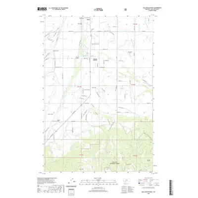
(6)- 2000 Map of Gallatin Gateway, 2005 Print
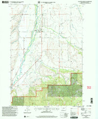 2000 Gallatin Gateway2005 Print · USGSGallatin County at the turn of the century shows a sophisticated irrigation landscape shaped by the Gallatin River. Researchers can trace the layout of Gallatin Gateway, locate the Gallatin Gateway Cem, and find rural landmarks like Axtell Bridge and Cottonwood School.
 - 2011 Map of Gallatin Gateway, 2011 Print
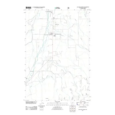 2011 Gallatin Gateway2011 Print · USGSCovers Peakview, including Atkins, Gallatin County, and other nearby areas
 - 2014 Map of Gallatin Gateway, 2014 Print
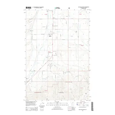 2014 Gallatin Gateway2014 Print · USGSCovers Peakview, including Atkins, Gallatin County, and other nearby areas
 - 2017 Map of Gallatin Gateway, 2017 Print
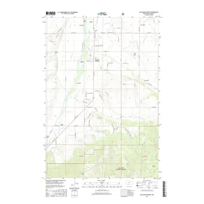 2017 Gallatin Gateway2017 Print · USGSCovers Peakview, including Atkins, Gallatin County, and other nearby areas
 - 2020 Map of Gallatin Gateway, 2020 Print
 2020 Gallatin Gateway2020 Print · USGSCovers Peakview, including Atkins, Gallatin County, and other nearby areas
 - 2024 Map of Gallatin Gateway, 2024 Print
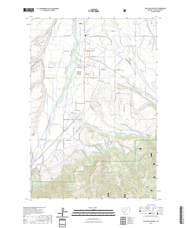 2024 Gallatin Gateway2024 Print · USGSGallatin County at the edge of the national forest is mapped here in its modern configuration of valley ranching and mountain foothills. Genealogists and researchers can trace the history of Salesville at the Salesville Cem or follow the paths of the Farmers Canal and the Gallatin River.
End of results
Showing maps 1-6 of 6
Frequently asked questions
- What are the different types of historical maps available for Peakview?
- What is the oldest map of Peakview?
- Where can I purchase historical maps of Peakview for my home or office?
- Where can I download high-res historical maps of Peakview?
- Are there historical topographic maps available for Peakview?
- Is there historical aerial imagery available for Peakview?
- Where are historical maps of Peakview sourced from?