Old Maps of Brusett, Montana for Hiking & Exploration
Hike through history with 11 historic maps of Brusett. Explore old trails, ghost towns, and forgotten backroads — perfect for outdoor adventurers and local explorers.
- Rediscover forgotten places: Map out old mining camps, roads, and footpaths that no longer exist on modern maps.
- Layer with modern tools: Combine with LiDAR or satellite views to plan hikes through historical terrain.
- Made for exploration: Popular among hikers, overlanders, and local history lovers.
Use these maps to find adventure and explore the hidden past of Brusett.
Brusett, MT maps
(11)- 1954 Map of Jordan, 1965 Print
 1954 Jordan1965 Print · USGSGarfield County in the mid-fifties is a land of expansive ranches and isolated prairie schoolhouses. Researchers can trace rural genealogy and land use through landmarks like Regina School, Robertson Brothers Ranch, and the Charles M Russell National Wildlife Range.2 unique versions available
 - 1956 Map of Jordan
 1956 Jordan1956 Print · USGSCentral Montana ranching country and the massive Missouri River impoundment are captured here in the mid-fifties. Researchers can trace remote homesteading landmarks like Robertson Brothers Ranch and small rural hubs including Jordan, Brusett, and Cohagen.
 - 1958 Map of Jordan
 1958 Jordan1958 Print · USGSGarfield County and the Missouri River country are shown here in the late fifties as the regional geography adjusted to the massive new reservoir. Genealogists and local historians can trace isolated homesteads and numerous rural schoolhouses like Iler School, Brusett, and the Robertson Brothers Ranch.
 - 1964 Map of Jordan
 1964 Jordan1964 Print · USGSGarfield County and the surrounding Montana prairie are captured in the mid-1950s as the Fort Peck Reservoir reshapes the northern landscape. Local historians can trace the locations of rural schoolhouses like South First Creek School and remote ranching outposts such as Brusett and Van Norman.
 - 1983 Map of Brusett, 1984 Print
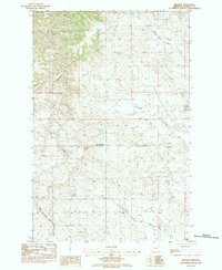 1983 Brusett1984 Print · USGSBrusett and the surrounding Garfield County plains appear here in the early eighties as a dedicated ranching and farming landscape. Researchers can trace the exact locations of the Brusett Community Ch, old Grain Tanks, and the winding Smoky Butte Creek.
 - 1993 Map of Sand Springs
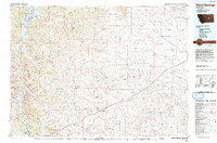 1993 Sand Springs1993 Print · USGSEastern Montana ranching and river country are shown here in the early nineties as the region balanced conservation and industry. You can trace family landmarks and drainages from Sand Springs to the Moss Dome Oil Field and the edges of Fort Peck Lake.
 - 2011 Map of Brusett, 2011 Print
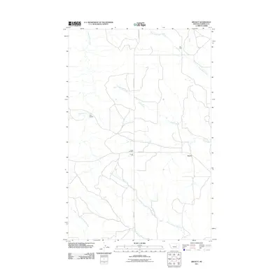 2011 Brusett2011 Print · USGSCovers Brusett, including Garfield County, United States, and other nearby areas
 - 2014 Map of Brusett, 2014 Print
 2014 Brusett2014 Print · USGSCovers Brusett, including Garfield County, United States, and other nearby areas
 - 2017 Map of Brusett, 2017 Print
 2017 Brusett2017 Print · USGSCovers Brusett, including Garfield County, United States, and other nearby areas
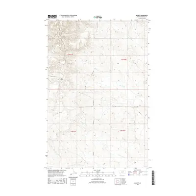
 - 2020 Map of Brusett, 2020 Print
 2020 Brusett2020 Print · USGSCovers Brusett, including Garfield County, United States, and other nearby areas
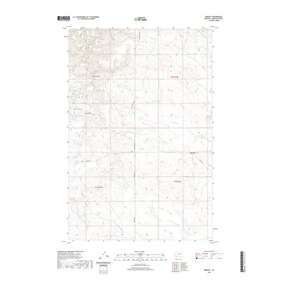
 - 2024 Map of Brusett, 2024 Print
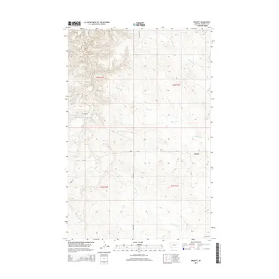
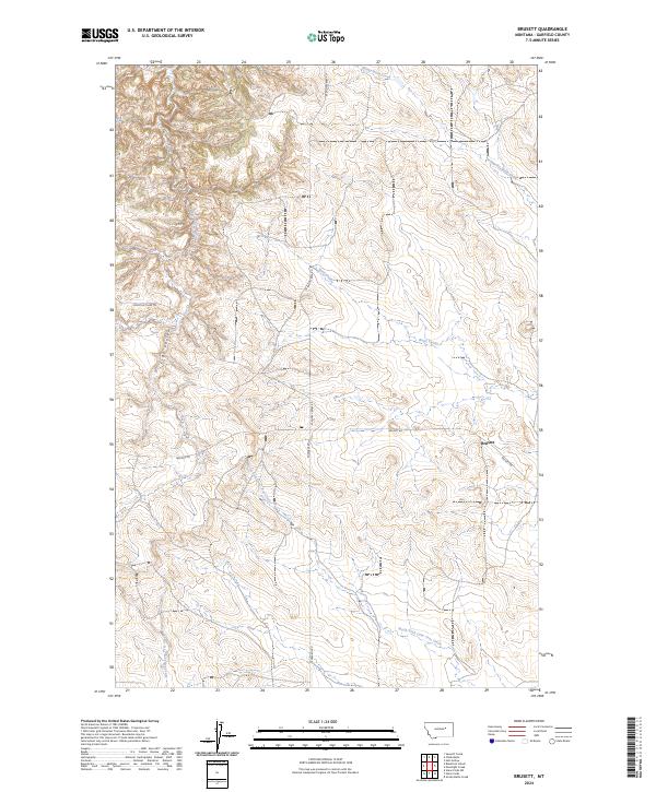 2024 Brusett2024 Print · USGSBrusett and the surrounding Garfield County cattle country appear in this recent survey of Montana's high plains. Researchers can trace historical routes like the Loomis & Clark Trl and the drainage systems of Smoky Butte Creek and Butts Coulee.
End of results
Showing maps 1-11 of 11
Frequently asked questions
- What are the different types of historical maps available for Brusett?
- What is the oldest map of Brusett?
- Where can I purchase historical maps of Brusett for my home or office?
- Where can I download high-res historical maps of Brusett?
- Are there historical topographic maps available for Brusett?
- Is there historical aerial imagery available for Brusett?
- Where are historical maps of Brusett sourced from?