Old Maps of Hillside, Montana for Genealogy
Trace your family roots with 11 historic maps of Hillside. These high-res maps reveal old neighborhoods, homesites, landmarks, and streets — helping you uncover where your ancestors lived and how the area evolved over time.
- Explore historic neighborhoods: Identify where your relatives may have lived in the 1800s or 1900s.
- Compare maps over time: Trace the changes in streets, buildings, and landmarks for multi-generational research.
- Perfect for genealogy & ancestry research: Used by family historians and researchers to map out lineage and migration.
These maps are an incredible resource for exploring your personal connection to Hillside's past.
Hillside, MT maps
(11)- 1954 Map of Forsyth, 1966 Print
 1954 Forsyth1966 Print · USGSThe Yellowstone River valley and the northern high plains are captured here in the mid-1950s during a period of expanding energy and rail infrastructure. Genealogists and historians can trace rail sidings and cattle-country outposts like Ingomar, Vananda, and Angela.3 unique versions available
 - 1957 Map of Forsyth
 1957 Forsyth1957 Print · USGSSouth-central Montana in the late fifties is captured here through its dual-river geography and emergent energy economy. Researchers can trace the path of the Northern Pacific through Forsyth, locate the Ragged Point Oil Field, and find early sidings like Ahles Siding.
 - 1958 Map of Forsyth
 1958 Forsyth1958 Print · USGSMid-century Montana comes alive along the Yellowstone River and the competing transcontinental rail lines. Local historians can trace the legacy of the Northern Pacific through Forsyth or explore early oil developments at the Ragged Point Oil Field.
 - 1965 Map of Hillside, 1969 Print
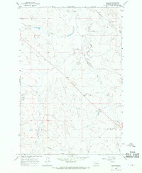 1965 Hillside1969 Print · USGSGarfield County ranching country comes into focus in the mid-1960s, showing the vital relationship between water and the landscape. Trace the small settlement of Hillside and the complex drainage systems of Thompson Creek, Todd Coulee, and Red Butte Creek.
 - 1979 Map of Angela
 1979 Angela1979 Print · USGSEastern Montana rangeland at the end of the seventies reveals a vast network of watercourses and isolated ranching outposts. Trace family land near Angela or locate remote landmarks like Steamboat Rock, Dinosaur Dam, and the intersection of four different county lines.
 - 1983 Map of Forsyth
 1983 Forsyth1983 Print · USGSEastern Montana's high plains and river valleys come into focus in the early eighties as the rail-and-ranching economy centered on the Yellowstone River. Researchers can trace the development of small rail towns like Hysham, Angela, and Ingomar alongside the Burlington Northern line.
 - 2011 Map of Hillside, 2011 Print
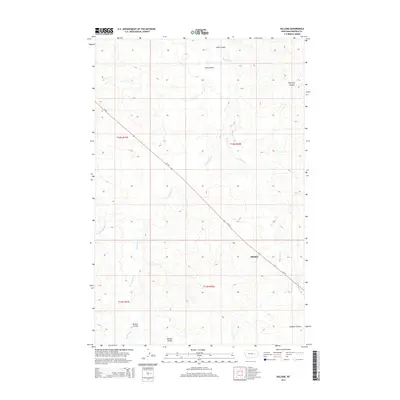
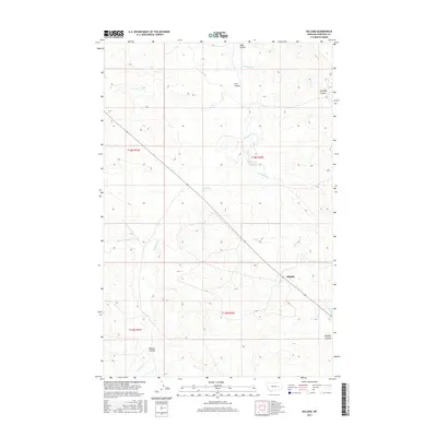
 2011 Hillside2011 Print · USGSCovers Hillside, including Garfield County, United States, and other nearby areas
 - 2014 Map of Hillside, 2014 Print
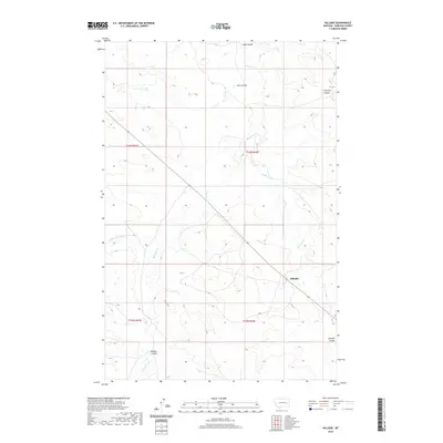
 2014 Hillside2014 Print · USGSCovers Hillside, including Garfield County, United States, and other nearby areas
 - 2017 Map of Hillside, 2017 Print
 2017 Hillside2017 Print · USGSCovers Hillside, including Garfield County, United States, and other nearby areas
 - 2020 Map of Hillside, 2020 Print
 2020 Hillside2020 Print · USGSCovers Hillside, including Garfield County, United States, and other nearby areas
 - 2024 Map of Hillside, 2024 Print
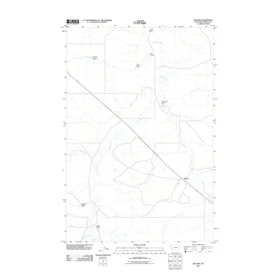
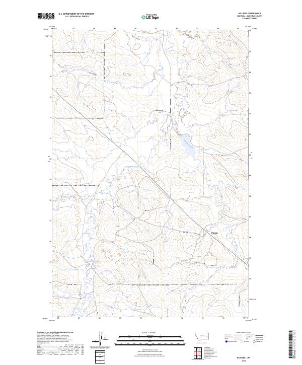 2024 Hillside2024 Print · USGSGarfield County, Montana, is depicted in the mid-2020s, showing a landscape defined by its network of high-plains watercourses. Researchers can trace the drainage patterns of Hillside and explore named features like Thompson Creek and Red Butte Creek.
End of results
Showing maps 1-11 of 11
Frequently asked questions
- What are the different types of historical maps available for Hillside?
- What is the oldest map of Hillside?
- Where can I purchase historical maps of Hillside for my home or office?
- Where can I download high-res historical maps of Hillside?
- Are there historical topographic maps available for Hillside?
- Is there historical aerial imagery available for Hillside?
- Where are historical maps of Hillside sourced from?