Old Maps of Big Sky Hutterite Colony, Montana
Explore 11 old maps of Big Sky Hutterite Colony, spanning from 1911 to today. These high-resolution historic maps reveal how streets, neighborhoods, landmarks, and natural features evolved over time — perfect for genealogy, metal detecting, research, and local history exploration.
What you can do with these maps:
- See how Big Sky Hutterite Colony changed over time: Compare historical maps to modern-day views to trace roads, homesites, rail lines & more.
- View detailed metadata: Each map includes creators, publishers, year, scale, and archive source.
- Overlay maps with satellite & LiDAR: Visualize the past alongside modern tools to explore terrain & human change.
- Trusted historical sources: Maps sourced from the USGS, Library of Congress, and other archives.
- Access maps your way: View online, download high-res files, or order prints for personal or research use.
Start exploring old maps of Big Sky Hutterite Colony to uncover forgotten places, hidden landmarks, and the deep history beneath your feet.
Big Sky Hutterite Colony, MT maps
(11)- 1911 Map of Blackfoot
 1911 Blackfoot1911 Print · USGSNorthwestern Montana at the start of the twentieth century was a territory of vast open spaces and burgeoning rail towns. Researchers can trace the early Great Northern railroad corridor through Blackfoot, find the Cutfinger School, and locate Cooks Ranch.2 unique versions available
 - 1960 Map of Cut Bank, 1968 Print
 1960 Cut Bank1968 Print · USGSThe high peaks of the Rockies meet the eastern plains in the 1960s, showing the intersection of federal lands and the Blackfeet Indian Reservation. Trace the path of the Great Northern railway and find local landmarks like the Blackfoot Boarding School and Family Mission Cem.3 unique versions available
 - 1963 Map of Cut Bank
 1963 Cut Bank1963 Print · USGSNorthern Montana’s mountain passes and high plains are captured here in the early 1960s. Genealogists and historians can trace the Great Northern rail stops from Browning to Ethridge or locate the remote outposts at Polebridge and Babb.
 - 1964 Map of Cut Bank
 1964 Cut Bank1964 Print · USGSGlacier National Park and the Blackfeet Indian Reservation meet in the early sixties at the triple divide of North America. Researchers can trace the Great Northern Railway through mountain passes and locate local landmarks like the Blackfoot Boarding School and Apgar Village.
 - 1968 Map of Rimrock Ranch, 1973 Print
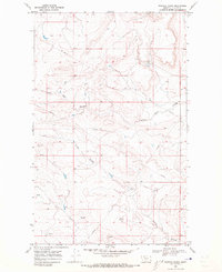 1968 Rimrock Ranch1973 Print · USGSThe Blackfeet Indian Reservation in the late sixties reveals a landscape of high plains ranching and natural springs. Researchers can trace the winding paths of Little Rock Coulee and Powell Coulee or locate the namesake Rimrock Ranch near the modern PIPELINE corridor.
 - 1984 Map of Cut Bank
 1984 Cut Bank1984 Print · USGSGlacier County's high plains are captured here in the mid-1980s, showcasing the intersection of tribal lands, energy development, and remote agricultural colonies. Genealogists and historians can trace the Burlington Northern rail line through settlements like Ethridge and Seville.
 - 2011 Map of Rimrock Ranch, 2011 Print
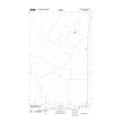 2011 Rimrock Ranch2011 Print · USGSGlacier County ranching and communal living are documented here in the early twenty-first century. Researchers can trace land use at Big Sky Colony and Rimrock Ranch, or follow the routes of Horsethief Rd and Little Rock Coulee.
 - 2014 Map of Rimrock Ranch, 2014 Print
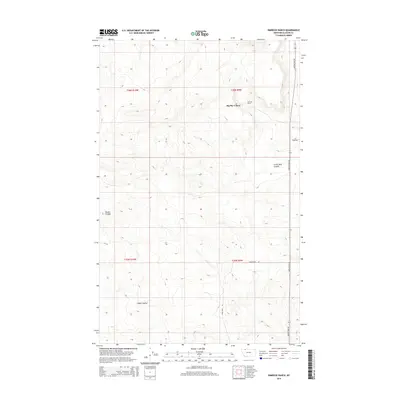 2014 Rimrock Ranch2014 Print · USGSGlacier County's high plains are documented here in the early twenty-first century, showing the intersection of communal settlement and large-scale ranching. Researchers can trace the layout of the Big Sky Colony and the local geography of Little Rock Coulee and Rimrock Ranch.
 - 2017 Map of Rimrock Ranch, 2017 Print
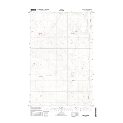 2017 Rimrock Ranch2017 Print · USGSGlacier County ranching country is captured here during the late twenty-teens, showing the sparse but vital infrastructure of the High Plains. Researchers can trace the local road network including Meriwether Rd and locate the eponymous Rimrock Ranch.
 - 2020 Map of Rimrock Ranch, 2020 Print
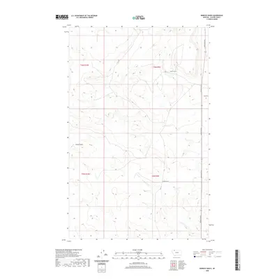 2020 Rimrock Ranch2020 Print · USGSGlacier County ranching country is captured here during the early twenty-first century, showing the intersection of large-scale land management and natural drainage. Researchers can trace the boundaries of Rimrock Ranch and the winding path of Powell Coulee.
 - 2024 Map of Rimrock Ranch, 2024 Print
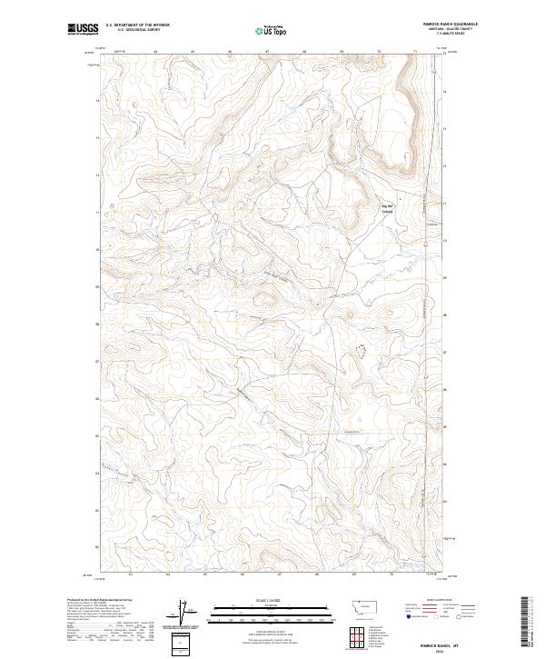 2024 Rimrock Ranch2024 Print · USGSGlacier County ranch lands and communal settlements are mapped here in the modern era. Genealogists and local historians can trace the rural road network including Meriwether Rd and the significant drainages of Little Rock Coulee and Powell Coulee.
End of results
Showing maps 1-11 of 11
Frequently asked questions
- What are the different types of historical maps available for Big Sky Hutterite Colony?
- What is the oldest map of Big Sky Hutterite Colony?
- Where can I purchase historical maps of Big Sky Hutterite Colony for my home or office?
- Where can I download high-res historical maps of Big Sky Hutterite Colony?
- Are there historical topographic maps available for Big Sky Hutterite Colony?
- Is there historical aerial imagery available for Big Sky Hutterite Colony?
- Where are historical maps of Big Sky Hutterite Colony sourced from?