Old Maps of Shambo Springs, Montana for Academic Research
Study the evolution of Shambo Springs with 11 high-resolution historic maps. Whether you're teaching, researching, or modeling changes in land use, these maps provide essential visual documentation of urban, environmental, and geographic change.
- Analyze long-term change: Track patterns in development, transportation, and natural features.
- Ideal for environmental or urban studies: Support academic projects with primary historical map data.
- Use in the classroom or lab: Educators and researchers rely on these maps to bring historical context to life.
These maps are a powerful tool for teaching, research, and visualizing how Shambo Springs has changed over the decades.
Shambo Springs, MT maps
(11)- 1953 Map of Havre, 1967 Print
 1953 Havre1967 Print · USGSNorthern Montana’s Hi-Line comes into focus in the mid-fifties, centered on the Milk River and the critical Great Northern rail link. Genealogists can trace small sidings and settlements like Assinniboine, Laredo, and Box Elder alongside the Fort Belknap Agency.3 unique versions available
 - 1957 Map of Havre
 1957 Havre1957 Print · USGSNorth-central Montana at the mid-century is defined by the vital Great Northern rail corridor and the winding Milk River. Researchers can trace old settlements like Laredo and Savoy, or locate historic sites such as the Hays (old) Sub Agency and the Chinook No 1 mine.
 - 1958 Map of Havre
 1958 Havre1958 Print · USGSUpper Montana in the late fifties was a landscape of remote rail towns and vast high-plain ranges. Genealogists and historians can trace the Great Northern railroad through Havre, Chinook, and the Fort Belknap Indian Reservation.
 - 1959 Map of Shambo, 1961 Print
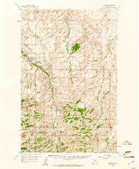 1959 Shambo1961 Print · USGSMontana's high country south of Havre is detailed here in the late fifties, where the plains meet the rising Bear Paw Mountains. Researchers can locate remote rural institutions like Shambo Sch, the boundaries of the Rocky Boy Indian Reservation, and family landmarks like Rotary Hill.3 unique versions available
 - 1984 Map of Bearpaw Lake
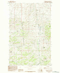 1984 Bearpaw Lake1984 Print · USGSThe northern Bearpaw Mountains transition into the high plains of North Central Montana in the 1980s. Genealogists and historians can trace tribal lands within the Rocky Boys Indian Reservation and locate landmarks like Manikanis and Shambo Mountain.
 - 1993 Map of Rocky Boy, 1994 Print
 1993 Rocky Boy1994 Print · USGSThe Bears Paw Mountains and the high plains of north-central Montana appear here in the early nineties, centered on the Rocky Boys Indian Reservation. You can trace the historic Bears Paw Battlefield and find isolated sites like Cleveland and the Blackjack Mine.
 - 2011 Map of Bearpaw Lake, 2011 Print
 2011 Bearpaw Lake2011 Print · USGSCovers Shambo Springs, including Hill County, United States, and other nearby areas
 - 2014 Map of Bearpaw Lake, 2014 Print
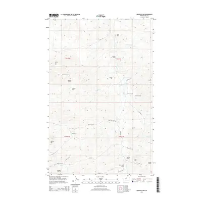 2014 Bearpaw Lake2014 Print · USGSCovers Shambo Springs, including Hill County, United States, and other nearby areas
 - 2017 Map of Bearpaw Lake, 2017 Print
 2017 Bearpaw Lake2017 Print · USGSCovers Shambo Springs, including Hill County, United States, and other nearby areas
 - 2020 Map of Bearpaw Lake, 2020 Print
 2020 Bearpaw Lake2020 Print · USGSCovers Shambo Springs, including Hill County, United States, and other nearby areas
 - 2024 Map of Bearpaw Lake, 2024 Print
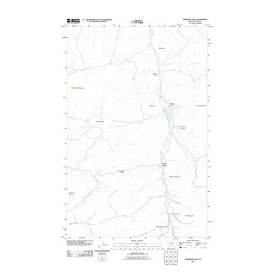
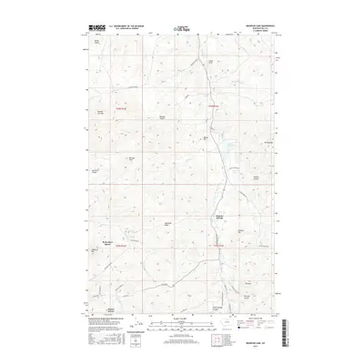
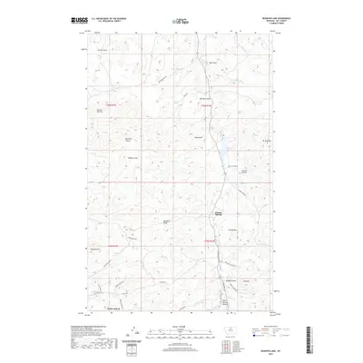
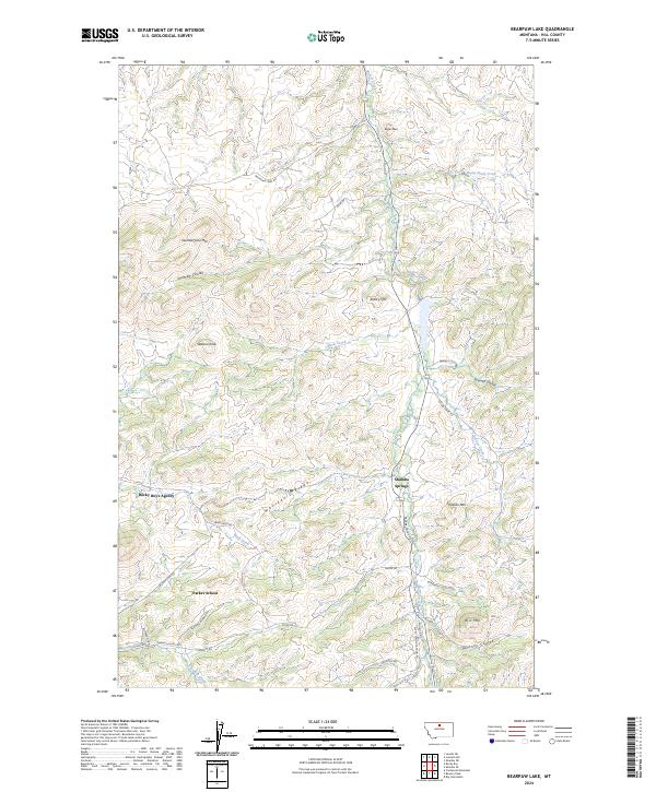 2024 Bearpaw Lake2024 Print · USGSHill County's high plains and foothills are captured in this contemporary look at the tribal and rural landscape of northern Montana. Researchers can trace the local infrastructure around Rocky Boy's Agency, Parker School, and the waters of Beaver Creek.
End of results
Showing maps 1-11 of 11
Frequently asked questions
- What are the different types of historical maps available for Shambo Springs?
- What is the oldest map of Shambo Springs?
- Where can I purchase historical maps of Shambo Springs for my home or office?
- Where can I download high-res historical maps of Shambo Springs?
- Are there historical topographic maps available for Shambo Springs?
- Is there historical aerial imagery available for Shambo Springs?
- Where are historical maps of Shambo Springs sourced from?