Old Maps of Simpson, Montana for Hiking & Exploration
Hike through history with 10 historic maps of Simpson. Explore old trails, ghost towns, and forgotten backroads — perfect for outdoor adventurers and local explorers.
- Rediscover forgotten places: Map out old mining camps, roads, and footpaths that no longer exist on modern maps.
- Layer with modern tools: Combine with LiDAR or satellite views to plan hikes through historical terrain.
- Made for exploration: Popular among hikers, overlanders, and local history lovers.
Use these maps to find adventure and explore the hidden past of Simpson.
Simpson, MT maps
(10)- 1920 Map of Gildford
 1920 Gildford1920 Print · USGSNorthern Montana's high plains meet the Canadian border in this era of early rail expansion and homesteading. Genealogists and local historians can trace family-named outposts and rural junctions like Pugsley & Simpson, Wilson's Crossing, and Lilacs.
 - 1943 Map of Gildford
 1943 Gildford1943 Print · USGSSettlement and ranching define this Montana borderland during the early twentieth century, showing the rail-led growth of the northern plains. Researchers can trace the path of the Great Northern Railroad through Gildford or locate vanished sites like Lilacs and Fairchild.
 - 1954 Map of Shelby, 1967 Print
 1954 Shelby1967 Print · USGSNorthern Montana's Hi-Line is captured in the mid-fifties, showing a landscape shaped by the Great Northern rail and early oil development. Trace family roots in Shelby and Conrad, or locate rural landmarks like Goose Bill Butte and the Rocky Boys Indian Reservation.3 unique versions available
 - 1958 Map of Shelby
 1958 Shelby1958 Print · USGSNorthern Montana’s high plains and the Sweetgrass Hills come to life in the late fifties as the Tiber Dam begins to reshape the Marias River valley. Genealogists and historians can trace rail-town lineages along the Great Northern line and locate sites like the Hull Coal Mine or Sweet Grass.
 - 1984 Map of Chester
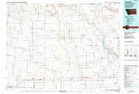 1984 Chester1984 Print · USGSNorthern Montana's High Line region is documented here in the mid-eighties, showing the vital rail-and-river network along the Canadian border. Genealogists can trace the string of prairie towns from Chester to Gildford or locate specific sites like the Sage Creek Colony and Fresno Reservoir.
 - 2011 Map of Simpson, 2011 Print
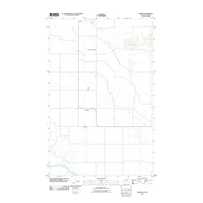 2011 Simpson2011 Print · USGSNear the Canadian border in Hill County, this 2011 survey shows the high-plains geography around Simpson and the Milk River. Researchers can trace the path of the Old Wild Horse Trl and locate local landmarks like the Spring Coulee Cemetery.
 - 2014 Map of Simpson, 2014 Print
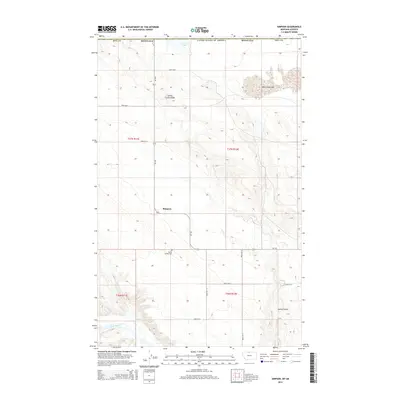 2014 Simpson2014 Print · USGSHill County homesteads and remote prairie landscapes are documented here during the early twenty-first century. Researchers can locate the Spring Coulee Cem and trace the drainage of the Milk River near the small settlement of Simpson.
 - 2017 Map of Simpson, 2017 Print
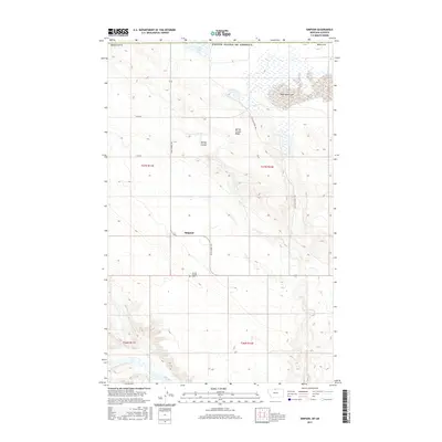 2017 Simpson2017 Print · USGSHill County prairie life is centered around Simpson in this recent survey of the Montana high plains. Researchers can locate the Spring Coulee Cem and trace the paths of the Old Wild Horse Trl and Milk River.
 - 2020 Map of Simpson, 2020 Print
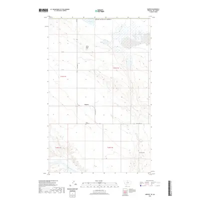 2020 Simpson2020 Print · USGSUpper Hill County sits along the international border in the 2020s, a landscape of high prairie and deep coulees. Genealogists and local historians can locate the Spring Coulee Cem and trace the paths of Wild Horse Rd and the Milk River.
 - 2024 Map of Simpson, 2024 Print
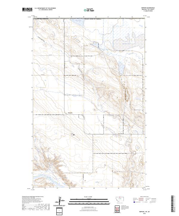 2024 Simpson2024 Print · USGSHill County near the Canadian border is documented here in the early twenty-first century, showing a remote landscape of coulees and cattle roads. Researchers can locate the Spring Coulee Cem and trace the paths of Wild Horse Rd and the Milk River.
End of results
Showing maps 1-10 of 10
Frequently asked questions
- What are the different types of historical maps available for Simpson?
- What is the oldest map of Simpson?
- Where can I purchase historical maps of Simpson for my home or office?
- Where can I download high-res historical maps of Simpson?
- Are there historical topographic maps available for Simpson?
- Is there historical aerial imagery available for Simpson?
- Where are historical maps of Simpson sourced from?