Old Maps of Wickes, Montana for Genealogy
Trace your family roots with 18 historic maps of Wickes. These high-res maps reveal old neighborhoods, homesites, landmarks, and streets — helping you uncover where your ancestors lived and how the area evolved over time.
- Explore historic neighborhoods: Identify where your relatives may have lived in the 1800s or 1900s.
- Compare maps over time: Trace the changes in streets, buildings, and landmarks for multi-generational research.
- Perfect for genealogy & ancestry research: Used by family historians and researchers to map out lineage and migration.
These maps are an incredible resource for exploring your personal connection to Wickes's past.
Wickes, MT maps
(18)- 1889 Map of Helena
 1889 Helena1889 Print · USGSThe Montana territory is caught in a moment of feverish railroad and mining expansion just before the close of the century. Genealogists and historians can trace early mountain routes and rail stations through settlements like Marysville, Wickes, and the bustling territorial hub of Helena.
 - 1893 Map of Helena
 1893 Helena1893 Print · USGSMontana's gold and silver boom is captured here in the late nineteenth century, showing the rail lines and mining camps radiating from the territorial capital. Genealogists and historians can trace the early layout of Helena or locate vanished sites like Blackfoot City and Gloster.2 unique versions available
 - 1899 Map of Boulder
 1899 Boulder1899 Print · USGSJefferson County was at the peak of its mining and railroad boom when this survey was conducted. Genealogists and historians can trace the foundations of Boulder and Wickes, as well as numerous hard-rock sites like the Hidden Treasure Mine and Amazon Mill.4 unique versions available
 - 1899 Map of Helena, 1956 Print
 1899 Helena1956 Print · USGSThe Montana gold country and the Continental Divide appear here at the close of the nineteenth century. Genealogists and historians can trace the mining and rail networks connecting Helena and Butte, including Pikes Peak Mill, Marysville, and Ft. Harrison.
 - 1903 Map of Helena
 1903 Helena1903 Print · USGSMontana's mining heartland comes alive at the dawn of the new century, from the state capital to the copper-rich summits above the Silver Bow. Trace the early rail lines serving Marysville, locate the historic barracks of Ft. Harrison, and follow the mountain trails through Mullan Pass.4 unique versions available
 - 1947 Map of Butte, 1949 Print
 1947 Butte1949 Print · USGSWestern Montana at the peak of its rail-and-river era shows the vital connections between the mining and industrial centers of Butte and Helena. Researchers can trace the three major railroad lines serving mountain settlements like Garrison, Philipsburg, and Warm Springs.2 unique versions available
 - 1950 Map of Jefferson City, 1952 Print
 1950 Jefferson City1952 Print · USGSMining districts in Jefferson and Lewis and Clark Counties are shown in high detail during the early fifties. Trace the history of the Northern Pacific rail line and dozens of old workings like the Grey Eagle Mine and Rimini.5 unique versions available
 - 1958 Map of Butte
 1958 Butte1958 Print · USGSWestern Montana's mining and rail corridors are captured in the late fifties, from the urban bustle of the Copper King cities to high mountain passes. Researchers can trace the path of the Milwaukee St Paul and Pacific through Deer Lodge and locate remote outposts like Potomac Post Office.5 unique versions available
 - 1960 Map of Butte
 1960 Butte1960 Print · USGSWestern Montana at the dawn of the sixties is defined by its industrial mining hubs and the railroads that connect them. Genealogists and historians can trace the routes of the Milwaukee Road through Butte or locate smaller settlements like Southern Cross and Bearmouth.
 - 1962 Map of Butte
 1962 Butte1962 Print · USGSWestern Montana in the early sixties remains a landscape of industrial muscle and high-mountain passes. Trace the rail lines of the Northern Pacific through Deer Lodge and the mining history around Anaconda and Philipsburg.
 - 1985 Map of Wickes, 1986 Print
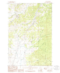 1985 Wickes1986 Print · USGSIn the mid-1980s, the high country of Jefferson County remained a landscape of active and legacy mining. Local historians can trace the remnants of the silver and lead era through the Abandoned RR near Wickes and the many Prospect sites along Stagecoach Road.
 - 1994 Map of Butte North
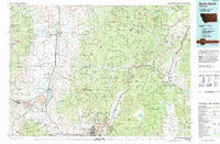 1994 Butte North1994 Print · USGSWestern Montana in the nineties was a landscape defined by ranching legacy and high-altitude mining. Genealogists and historians can trace institutional history at the Deer Lodge Prison Farm or locate old claims like the Saratoga Mine and Morning Glory Mine.
 - 1996 Map of Wickes, 1998 Print
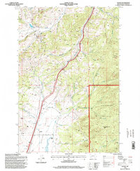 1996 Wickes1998 Print · USGSThe mining corridors of Jefferson County are captured here in the late twentieth century, showing a landscape shaped by deep-earth extraction and high-altitude ranching. Researchers can locate numerous historical Prospects, the old Stagecoach route, and family landmarks like Sloan Ranch.
 - 2011 Map of Wickes, 2011 Print
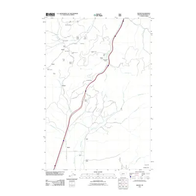 2011 Wickes2011 Print · USGSJefferson County's mining history and mountain ranching are preserved here during the early twenty-first century. Researchers can trace the proximity of industrial sites like Alta Mines to early settlements such as Wickes and the Sloan Ranch.
 - 2014 Map of Wickes, 2014 Print
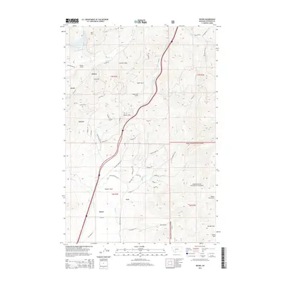 2014 Wickes2014 Print · USGSJefferson County mining history comes to life in this survey of the mountains near Wickes and Amazon. Researchers can trace the legacy of early industry through the Wickes Tunnel and old paths like Alta Ore Mine Rd and Blue Bird Mine Rd.
 - 2017 Map of Wickes, 2017 Print
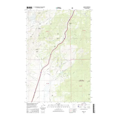 2017 Wickes2017 Print · USGSJefferson County's high mountain gulches and historic mining camps are captured here in the contemporary era. Trace the industrial legacy of Wickes and Amazon while locating landmarks like the Wickes Tunnel and Alta Mtn.
 - 2020 Map of Wickes, 2020 Print
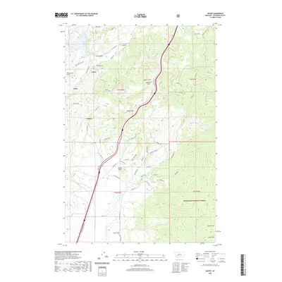 2020 Wickes2020 Print · USGSJefferson County’s mountain mining corridors are captured here in the contemporary era, showing the intersection of industrial history and protected lands. Trace the legacy of extraction and transport through Wickes Tunnel, the old settlement at Amazon, and the winding Old Railroad Rd.
 - 2024 Map of Wickes, 2024 Print
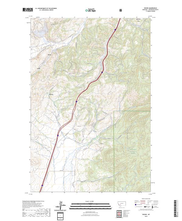 2024 Wickes2024 Print · USGSModern Jefferson County maintains its rugged character as a legacy of Montana's mining history. Researchers can trace historic transport routes like Old Railroad Rd and Stagecoach Gulch near the settlements of Wickes and Amazon.
End of results
Showing maps 1-18 of 18
Top cities near Wickes
- Butte historical maps
- Helena historical maps
- Montana City historical maps
- Clancy historical maps
- Boulder historical maps
- Rimini historical maps
Frequently asked questions
- What are the different types of historical maps available for Wickes?
- What is the oldest map of Wickes?
- Where can I purchase historical maps of Wickes for my home or office?
- Where can I download high-res historical maps of Wickes?
- Are there historical topographic maps available for Wickes?
- Is there historical aerial imagery available for Wickes?
- Where are historical maps of Wickes sourced from?