Old Maps of Sapphire Village, Montana for Academic Research
Study the evolution of Sapphire Village with 17 high-resolution historic maps. Whether you're teaching, researching, or modeling changes in land use, these maps provide essential visual documentation of urban, environmental, and geographic change.
- Analyze long-term change: Track patterns in development, transportation, and natural features.
- Ideal for environmental or urban studies: Support academic projects with primary historical map data.
- Use in the classroom or lab: Educators and researchers rely on these maps to bring historical context to life.
These maps are a powerful tool for teaching, research, and visualizing how Sapphire Village has changed over the decades.
Sapphire Village, MT maps
(17)- 1886 Map of Little Belt Mts.
 1886 Little Belt Mts.1886 Print · USGSCentral Montana territory during the mid-1880s is captured here, showing the region's early mining camps and ranching hubs. Researchers can trace the early layouts of White Sulphur Spring and Neihart or locate landmarks like Copperopolis and Crazy Peak.
 - 1894 Map of Little Belt Mts.
 1894 Little Belt Mts.1894 Print · USGSCentral Montana in the late nineteenth century is a land of emerging mining camps and river valley outposts. Historians can trace the early footprints of White Sulphur Spring, the copper prospects at Copperopolis, and the mountain terrain of Neihart.2 unique versions available
 - 1897 Map of Little Belt Mts.
 1897 Little Belt Mts.1897 Print · USGSMeagher County and the central Montana high country are captured here in the 1890s, when mining camps and early ranching outposts were first being established. Researchers can trace the early layout of White Sulphur Springs and locate now-quiet sites like the Sapphire Mine or Copperopolis.
 - 1898 Map of Little Belt Mts.
 1898 Little Belt Mts.1898 Print · USGSCentral Montana in the late nineteenth century is a landscape of mountain mining camps and early ranching outposts. Genealogists and historians can trace the pioneer footprints of White Sulphur Springs, the operations at Sapphire Mine, and the route of Sixteenmile Creek.
 - 1902 Map of Little Belt Mts.
 1902 Little Belt Mts.1902 Print · USGSMeagher County at the close of the nineteenth century is a landscape of mountain mining camps and riverside settlements. Researchers can trace early industry and family roots near the Sapphire Mine, the town of White Sulphur Springs, and the camp at Neihart.3 unique versions available
 - 1948 Map of White Sulphur Springs, 1951 Print
 1948 White Sulphur Springs1951 Print · USGSMontana's capital and the high country of the Big Belt Mountains come alive in this mid-century survey. Trace the early hydroelectric developments at Canyon Ferry Dam or follow the historic rail lines through Ringling and Townsend.
 - 1958 Map of White Sulphur Springs, 1968 Print
 1958 White Sulphur Springs1968 Print · USGSCentral Montana in the late fifties was a landscape of high-country mining and newly formed reservoirs. You can trace the rail-and-river economy of the era through sites like Canyon Ferry Lake, the East Pacific Mine, and the historic Fort Logan.3 unique versions available
 - 1961 Map of White Sulphur Springs
 1961 White Sulphur Springs1961 Print · USGSThe Missouri River valley and central Montana highlands are captured here during a period of significant hydroelectric and rail expansion. Genealogists and rail historians can trace the paths of the Northern Pacific and Chicago Milwaukee St Paul and Pacific through settlements like White Sulphur Springs and Townsend.
 - 1965 Map of White Sulphur Springs
 1965 White Sulphur Springs1965 Print · USGSCentral Montana in the late 1950s and early 60s reveals a rugged mountain landscape shaped by the Missouri River and the emergence of the Canyon Ferry Reservoir. Genealogists and local historians can trace legacy ranching sites, the Northern Pacific rail line, and remote schoolhouses like Cottonwood School and Spokane Creek School.
 - 1970 Map of Woodhurst Mountain, 1973 Print
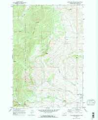 1970 Woodhurst Mountain1973 Print · USGSThe Judith Basin highlands come into focus in the early 1970s, showcasing the high-elevation terrain of the LEWIS AND CLARK NATIONAL FOREST. Genealogists and researchers can trace local landmarks like Sapphire Village, the Judith River Game Range Hdqrs, and the Strip Mine near Willow Creek.2 unique versions available
 - 1984 Map of White Sulphur Springs
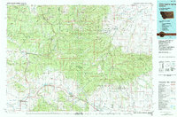 1984 White Sulphur Springs1984 Print · USGSCentral Montana's mining and ranching corridors come to life in the mid-eighties, highlighting the high-country settlements of the Meagher and Judith Basin counties. Genealogists and historians can trace old mining claims like the Silver Dyke Mine and Broadwater Mines, or locate remote points like Checkerboard and Neihart.
 - 1995 Map of Woodhurst Mountain, 1997 Print
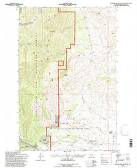 1995 Woodhurst Mountain1997 Print · USGSIn the mid-nineties, the Little Belt Mountains met the high plains at the edge of the Lewis and Clark National Forest. Trace family roots in Sapphire Village, find old mines near Willow Creek, and locate the Wildlife Management Area Headquarters.
 - 2011 Map of Woodhurst Mountain, 2011 Print
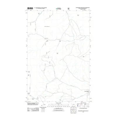 2011 Woodhurst Mountain2011 Print · USGSThe Little Belt Mountains of Judith Basin County come into focus here during the early twenty-first century. Researchers can trace local mining history at the Saphire Mine and explore mountain geography near Sapphire Village and Tepee Butte.
 - 2014 Map of Woodhurst Mountain, 2014 Print
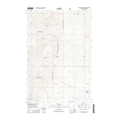 2014 Woodhurst Mountain2014 Print · USGSSapphire Village and the surrounding Lewis & Clark National Forest are shown in detail as they appeared in 2014. Local history researchers can trace high-altitude drainage patterns and access routes like Yogo Creek Rd or locate features such as Mitchell Spring and Woodhurst Mtn.
 - 2017 Map of Woodhurst Mountain, 2017 Print
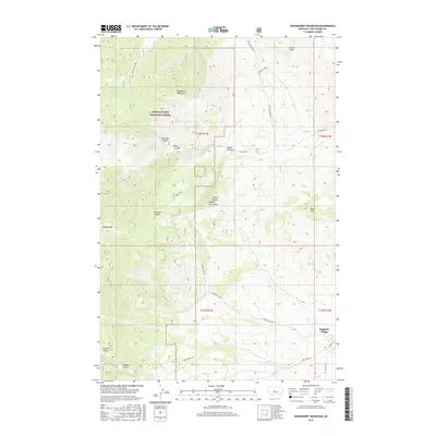 2017 Woodhurst Mountain2017 Print · USGSSapphire Village and the eastern reaches of the Little Belt Mountains are captured here in the late twenty-teens. Trace the network of forest roads and remote drainage features like Dipping Vat Coulee, Tepee Butte, and Mitchell Spring.
 - 2020 Map of Woodhurst Mountain, 2020 Print
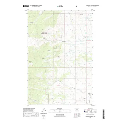 2020 Woodhurst Mountain2020 Print · USGSSapphire Village and the high ridges of the Little Belt Mountains are documented here during the early twenty-first century. Researchers can trace land use patterns and hydrologic features across Lewis & Clark National Forest, locating Mitchell Spring, Tollgate Mtn, and Reed Hill.
 - 2024 Map of Woodhurst Mountain, 2024 Print
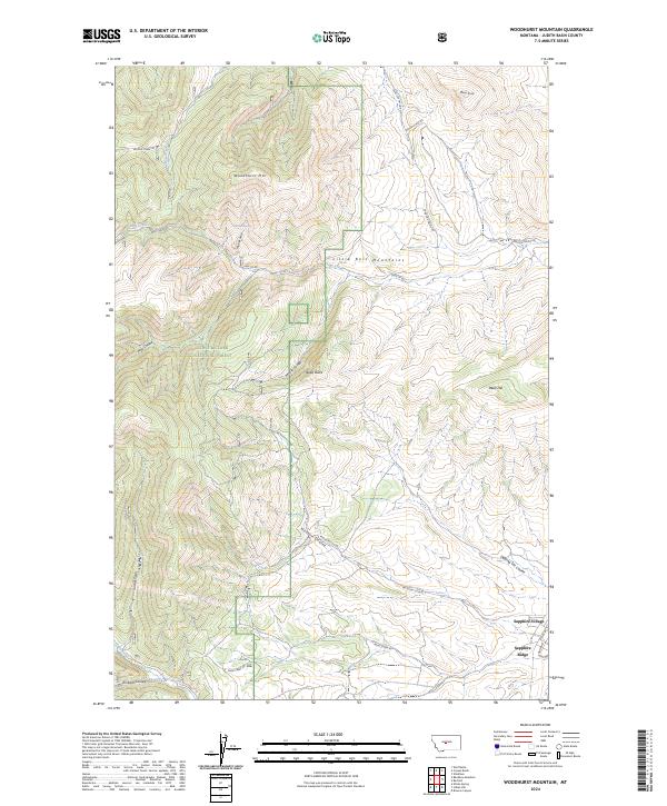 2024 Woodhurst Mountain2024 Print · USGSJudith Basin County at the edge of the Little Belt Mountains is captured in this 2024 study of high-elevation Montana terrain. Researchers can locate Sapphire Village, trace family-named landmarks like Mitchell Gulch, or explore the drainages of Missouri Coulee and Dipping Vat Coulee.
End of results
Showing maps 1-17 of 17
Frequently asked questions
- What are the different types of historical maps available for Sapphire Village?
- What is the oldest map of Sapphire Village?
- Where can I purchase historical maps of Sapphire Village for my home or office?
- Where can I download high-res historical maps of Sapphire Village?
- Are there historical topographic maps available for Sapphire Village?
- Is there historical aerial imagery available for Sapphire Village?
- Where are historical maps of Sapphire Village sourced from?