Old Maps of Fort Lazy Y Trailer Park, Montana for Academic Research
Study the evolution of Fort Lazy Y Trailer Park with 11 high-resolution historic maps. Whether you're teaching, researching, or modeling changes in land use, these maps provide essential visual documentation of urban, environmental, and geographic change.
- Analyze long-term change: Track patterns in development, transportation, and natural features.
- Ideal for environmental or urban studies: Support academic projects with primary historical map data.
- Use in the classroom or lab: Educators and researchers rely on these maps to bring historical context to life.
These maps are a powerful tool for teaching, research, and visualizing how Fort Lazy Y Trailer Park has changed over the decades.
Fort Lazy Y Trailer Park, MT maps
(11)- 1920 Map of Flathead Lake
 1920 Flathead Lake1920 Print · USGSWestern Montana at the dawn of the twenties reveals a landscape being transformed by irrigation and rail. Genealogists can trace family roots in early settlements like Polson, Ronan, and Dayton, or locate landmarks such as Wild Horse I. and the Pablo Reservoir.
 - 1956 Map of Wallace, 1966 Print
 1956 Wallace1966 Print · USGSWestern Montana and the Idaho panhandle meet in this mid-century survey of the Bitterroot and Cabinet Mountains. Genealogists and historians can trace the rail-and-river economy through the Northern Pacific line and settlements like Thompson Falls or St. Ignatius.3 unique versions available
 - 1960 Map of Wallace
 1960 Wallace1960 Print · USGSNorthwestern Montana and the Idaho panhandle are captured in the late fifties, showing the vast Flathead Indian Reservation and the mining districts of the Bitterroot Range. Researchers can trace the rail lines of the Northern Pacific or locate early sites like the Morning Mine and the National Bison Range.
 - 1964 Map of Elmo, 1966 Print
 1964 Elmo1966 Print · USGSThe western shore of Flathead Lake appears in the mid-sixties, showcasing the lakefront communities and steep mountain topography of the region. Researchers can trace the layout of Elmo and Dayton, or locate the Indian Cem and Cromwell Island.2 unique versions available
 - 1980 Map of Polson, 1982 Print
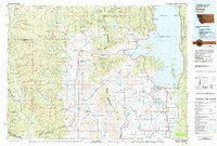 1980 Polson1982 Print · USGSThe Flathead Indian Reservation and its surrounding timberlands are captured here in the early eighties. Genealogists and historians can trace the development of Polson, locate remote sites like the Flathead Mine, and follow the Burlington Northern rail line through Pablo and Ronan.
 - 1988 Map of Elmo
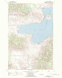 1988 Elmo1988 Print · USGSThe western shores of Flathead Lake in the late twentieth century reveal a landscape of tribal history and shoreline development. Trace the roads through Elmo, locate the Indian Cem, or explore the heights of Chief Cliff and the Hog Heaven Range.
 - 2011 Map of Elmo, 2011 Print
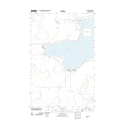 2011 Elmo2011 Print · USGSFlathead Lake and its western shore communities are captured in this 2011 survey, showing the region's balance of tribal history and lakeside growth. Trace local landmarks like the Indian Cemetery, Chief Cliff, and the historic Stage Coach Rd.
 - 2014 Map of Elmo, 2014 Print
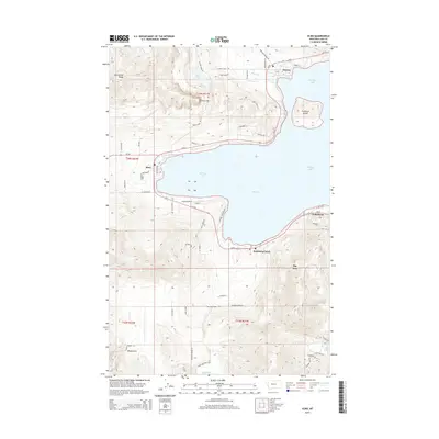 2014 Elmo2014 Print · USGSThe western reaches of Flathead Lake are captured in this mid-2010s survey, showing the development of lakeside communities from Dayton to Big Arm. Genealogists and historians can trace local landmarks like Chief Cliff, Cromwell Island, and the roads of the Elmo settlement.
 - 2017 Map of Elmo, 2017 Print
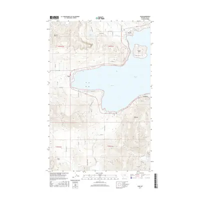 2017 Elmo2017 Print · USGSFlathead Lake and its western bay define this area during the early twenty-first century, showing the established communities and shoreline developments. Genealogists and local historians can trace family-named routes and landmarks like Chief Cliff, Dayton, and Cromwell Island.
 - 2020 Map of Elmo, 2020 Print
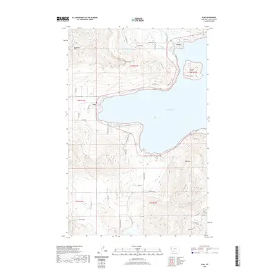 2020 Elmo2020 Print · USGSThe western shores of Flathead Lake come into focus in this contemporary survey of the Big Arm area. Researchers can trace local landmarks from the heights of Chief Cliff down to the lakeside settlements of Elmo and Dayton.
 - 2024 Map of Elmo, 2024 Print
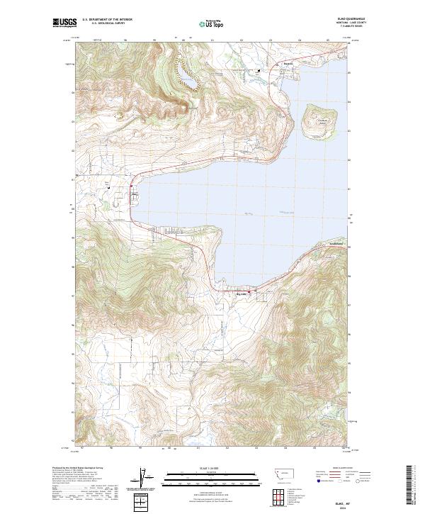 2024 Elmo2024 Print · USGSThe western shores of Flathead Lake are shown in recent years, where lakeside communities meet the high slopes of the Hog Heaven Range. Researchers can trace old routes along Old US Hwy 93 and locate historic burial sites including Indian Cem and Elmo Cem.
End of results
Showing maps 1-11 of 11
Frequently asked questions
- What are the different types of historical maps available for Fort Lazy Y Trailer Park?
- What is the oldest map of Fort Lazy Y Trailer Park?
- Where can I purchase historical maps of Fort Lazy Y Trailer Park for my home or office?
- Where can I download high-res historical maps of Fort Lazy Y Trailer Park?
- Are there historical topographic maps available for Fort Lazy Y Trailer Park?
- Is there historical aerial imagery available for Fort Lazy Y Trailer Park?
- Where are historical maps of Fort Lazy Y Trailer Park sourced from?