2000s (21st Century) Maps of Canyon Ferry, Montana
Explore 6 historic maps of Canyon Ferry from the 2000s (21st Century). These maps offer a rare glimpse into what life looked like during the 2000s — showing old roads, neighborhoods, homes, and landmarks that have changed or disappeared over time.
Whether you're researching your family's past, planning a metal detecting trip, or studying how Canyon Ferry's landscape evolved across the 2000s, these high-resolution maps are a powerful tool for exploring the history of this region.
- Focus on a specific era: All maps on this page are from the 2000s, giving you a focused view of this time period.
- See what’s changed: Compare century-old streets, trails, and buildings to today's modern landscape using overlays and satellite layers.
- Research with precision: Use these maps for genealogy, historical research, land use analysis, or educational projects.
- View, download, or print: Maps are fully viewable online in high resolution, and can be downloaded or printed for your own records.
Start exploring Canyon Ferry's history through authentic maps from the 2000s. This is your window into the past.
Canyon Ferry, MT maps
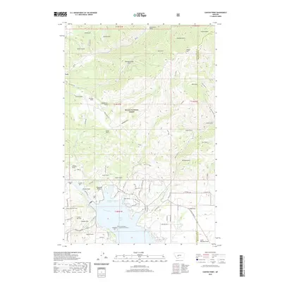
(6)- 2001 Map of Canyon Ferry, 2004 Print
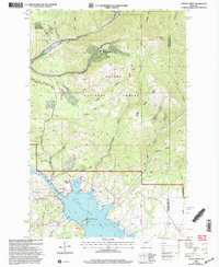 2001 Canyon Ferry2004 Print · USGSThe Missouri River valley near the Lewis and Clark and Broadwater county line is shown here at the start of the new millennium. Researchers can trace the industrial footprint of the Golden Messenger Mine and locate shoreline features like Chinaman Cove and Cemetery Hill.
 - 2011 Map of Canyon Ferry, 2011 Print
 2011 Canyon Ferry2011 Print · USGSCovers Canyon Ferry, including Cavetown, Lewis and Clark County, and other nearby areas
 - 2014 Map of Canyon Ferry, 2014 Print
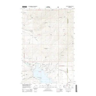 2014 Canyon Ferry2014 Print · USGSCovers Canyon Ferry, including Cavetown, Lewis and Clark County, and other nearby areas
 - 2017 Map of Canyon Ferry, 2017 Print
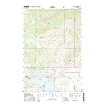 2017 Canyon Ferry2017 Print · USGSCovers Canyon Ferry, including Cavetown, Lewis and Clark County, and other nearby areas
 - 2020 Map of Canyon Ferry, 2020 Print
 2020 Canyon Ferry2020 Print · USGSCovers Canyon Ferry, including Cavetown, Lewis and Clark County, and other nearby areas
 - 2024 Map of Canyon Ferry, 2024 Print
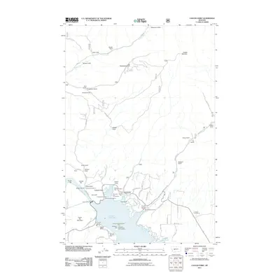
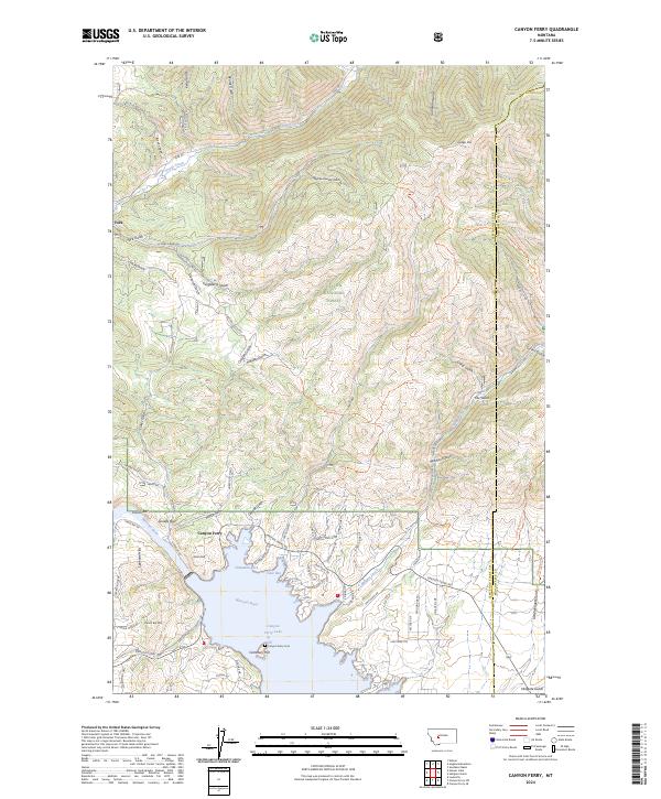 2024 Canyon Ferry2024 Print · USGSCanyon Ferry Lake and the Missouri River corridor come alive in this contemporary survey of the Lewis and Clark County backcountry. Genealogists and hikers can trace the geography of the Helena National Forest, from the Canyon Ferry Cem to the high reaches of Hedges Mtn.
End of results
Showing maps 1-6 of 6
Top cities near Canyon Ferry
Frequently asked questions
- What are the different types of historical maps available for Canyon Ferry?
- What is the oldest map of Canyon Ferry?
- Where can I purchase historical maps of Canyon Ferry for my home or office?
- Where can I download high-res historical maps of Canyon Ferry?
- Are there historical topographic maps available for Canyon Ferry?
- Is there historical aerial imagery available for Canyon Ferry?
- Where are historical maps of Canyon Ferry sourced from?