Old Maps of Gilman, Montana for Academic Research
Study the evolution of Gilman with 14 high-resolution historic maps. Whether you're teaching, researching, or modeling changes in land use, these maps provide essential visual documentation of urban, environmental, and geographic change.
- Analyze long-term change: Track patterns in development, transportation, and natural features.
- Ideal for environmental or urban studies: Support academic projects with primary historical map data.
- Use in the classroom or lab: Educators and researchers rely on these maps to bring historical context to life.
These maps are a powerful tool for teaching, research, and visualizing how Gilman has changed over the decades.
Gilman, MT maps
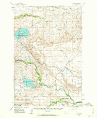
(14)- 1920 Map of Choteau
 1920 Choteau1920 Print · USGSNorth-central Montana in the early twentieth century shows a landscape being reshaped by irrigation canals and competing rail lines. Family historians can trace early settlements like Agawam, Bole, and Gilman, or locate regional landmarks like Priest Butte and Pishkun Reservoir.
 - 1955 Map of Choteau, 1978 Print
 1955 Choteau1978 Print · USGSWestern Montana during the mid-fifties is captured here as a land of rugged high-country wilderness and vital eastern plains irrigation. Genealogists and historians can locate remote outposts like Condon, the communal Miller Colony, and the rail stops of the Chicago Milwaukee St Paul and Pacific.
 - 1957 Map of Choteau
 1957 Choteau1957 Print · USGSMontana's mountain front meets the eastern plains in the mid-fifties, showing the transition from forested wilderness to irrigated ranch land. Genealogists and historians can trace the rail lines of the Great Northern and find settlements like Choteau, Augusta, and Seeley Lake.
 - 1958 Map of Choteau
 1958 Choteau1958 Print · USGSMontana's front range meets the high wilderness in the late fifties, where the Great Northern railway connects ranching towns to the eastern plains. Researchers can trace the development of irrigation at Bynum Reservoir or locate remote camps like the Big Prairie District Ranger Station and Helmville.2 unique versions available
 - 1960 Map of Gilman, 1963 Print
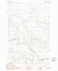
 1960 Gilman1963 Print · USGSThe Sun River valley in the early sixties was a landscape of intensive irrigation and rail transport. Genealogists and historians can trace the Great Northern rail line through Gilman or locate family-held land near Burch Ranch and the Liberty Sch.2 unique versions available
 - 1962 Map of Choteau
 1962 Choteau1962 Print · USGSThe Rocky Mountain Front meets the western plains in the early 1960s, showing a landscape defined by the Continental Divide. Genealogists and researchers can trace the tracks of the Great Northern and find settlements like Choteau, Augusta, and Bynum.
 - 1976 Map of Choteau
 1976 Choteau1976 Print · USGSThe Montana Rocky Mountain Front meets the plains in the 1970s, showcasing the high-altitude wilderness and the irrigation-fed ranching country. Trace the Great Northern Railway through Choteau or locate rural landmarks like the Farmington Cemetery and Gibson Reservoir.
 - 1984 Map of Choteau
 1984 Choteau1984 Print · USGSThe Teton River country comes to life in this mid-eighties record of the Montana plains and mountains. Trace the footprints of early ranching and farming settlements like Farmington and Eastham Junction, or explore the unique Hutterite settlements at Miller Colony and New Rockport Colony.
 - 1987 Map of Gilman
 1987 Gilman1987 Print · USGSThe high plains south of the Teton County line appear in the late 1980s as a landscape of irrigation canals and ranching history. Researchers can trace the Old RR Grade through Gilman or locate the Heliport and Gravel Pit along the Sun River.
 - 2011 Map of Gilman, 2011 Print
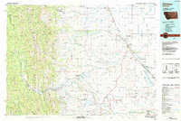
 2011 Gilman2011 Print · USGSCovers Gilman, including Lewis and Clark County, Teton County, and other nearby areas
 - 2014 Map of Gilman, 2014 Print
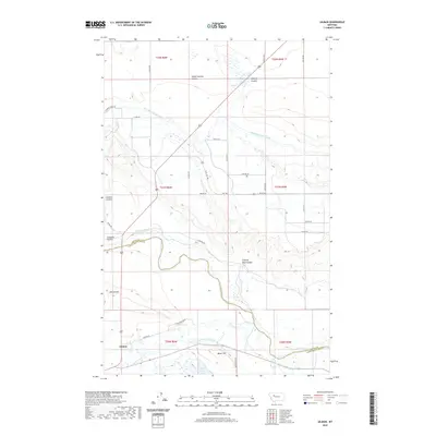
 2014 Gilman2014 Print · USGSCovers Gilman, including Lewis and Clark County, Teton County, and other nearby areas
 - 2017 Map of Gilman, 2017 Print
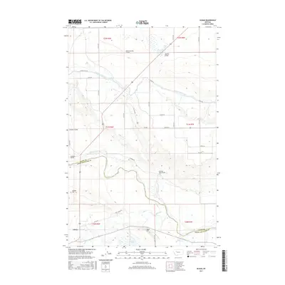 2017 Gilman2017 Print · USGSCovers Gilman, including Lewis and Clark County, Teton County, and other nearby areas
 - 2020 Map of Gilman, 2020 Print
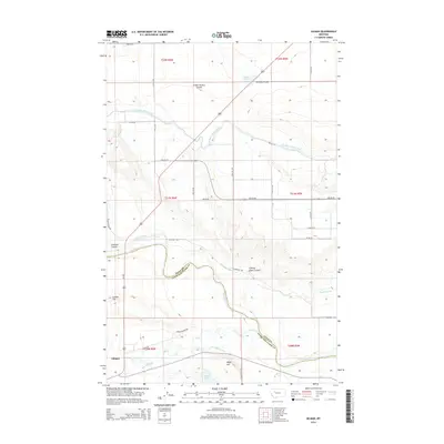
 2020 Gilman2020 Print · USGSCovers Gilman, including Lewis and Clark County, Teton County, and other nearby areas
 - 2024 Map of Gilman, 2024 Print
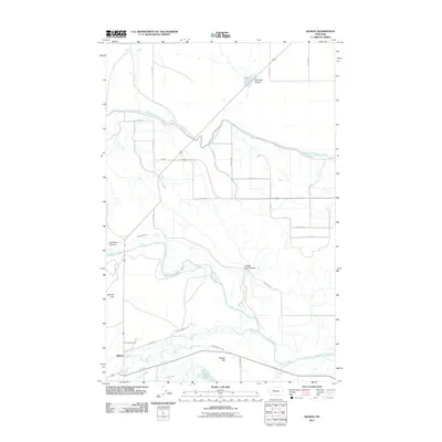
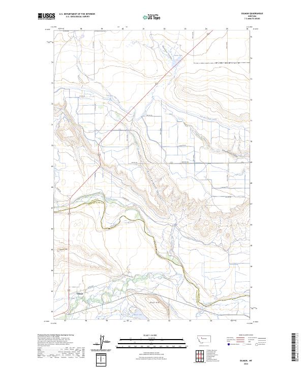 2024 Gilman2024 Print · USGSThe settlement of Gilman and its surrounding ranch lands are captured here in the early twenty-first century. Researchers can trace intricate water systems including the Sun River Slope Canal and family-named landmarks like Meyer Hill and Gilman Hill.
End of results
Showing maps 1-14 of 14
Frequently asked questions
- What are the different types of historical maps available for Gilman?
- What is the oldest map of Gilman?
- Where can I purchase historical maps of Gilman for my home or office?
- Where can I download high-res historical maps of Gilman?
- Are there historical topographic maps available for Gilman?
- Is there historical aerial imagery available for Gilman?
- Where are historical maps of Gilman sourced from?