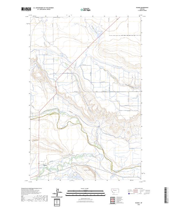
2024 Map of Gilman
USGS Topo · Published 2024About this map
Gilman lies at the heart of this Montana landscape, situated along the north bank of Elk Creek near its confluence with the Sun River. The area’s complex irrigation network is a defining characteristic, featuring the Sun River Slope Canal, Floweree Canal, and the Lyle Clemons Ditch, which redirect water across the varied terrain. Significant elevation changes are marked by Gilman Hill and Meyer Hill, while the northern portion of the quadrangle is occupied by the protected lands of the Blackfoot Valley Conservation Area. This modern survey illustrates the persistent importance of water management in Lewis and Clark and Teton counties, showing how natural drainages like Maloney Coulee and School Section Coulee integrate with man-made infrastructure. Smaller water bodies such as Basin Lake and Meyer Lake dot the valleys, reflecting the region's agricultural and conservation focus.
Find a feature on this map
42 named features on this map. Tap any name to fly to it.
Don’t see what you’re looking for? This feature index may not catch every label — zoom into the map to look around manually.
Map Details
Editions of this 2024 Gilman Map
This is the sole edition of this map. No revisions or reprints were ever made.
Other maps of this area

1920 · Choteau
USGS Topo · 1:125,000

1943 · Hogan
USGS Topo · 1:125,000

1955 · Choteau
USGS Topo · 1:250,000

1957 · Choteau
USGS Topo · 1:250,000

1958 · Choteau
USGS Topo · 1:250,000

1960 · Gilman
USGS Topo · 1:62,500
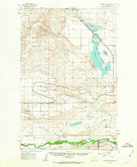
1960 · Freezeout Lake
USGS Topo · 1:62,500

1962 · Choteau
USGS Topo · 1:250,000
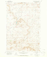
1963 · Bowmans Corners NW
USGS Topo · 1:24,000
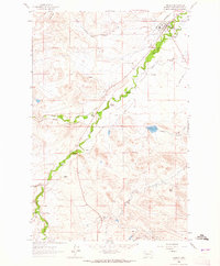
1963 · Augusta
USGS Topo · 1:24,000