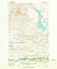
1960 Map of Freezeout Lake
USGS Topo · Published 1963About this map
The waters of Freezeout Lake dominate this high plains landscape at a time when industrial irrigation and rail infrastructure were the area's primary economic drivers. Managed as the Freezeout Lake Game Management Area, this alkaline basin is fed and drained by a complex network including the Cascade Canal, Spring Valley Canal, and the Aqueduct. These systems suggest a highly engineered hydraulic landscape designed to support both wildlife and agriculture in the arid Teton County region.
Find a feature on this map
48 named features on this map. Tap any name to fly to it.
Don’t see what you’re looking for? This feature index may not catch every label — zoom into the map to look around manually.
Map Details
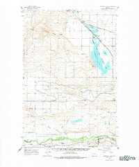
Editions of this 1960 Freezeout Lake Map
2 editions found
Other maps of this area

1886 · Great Falls
USGS Topo · 1:250,000

1920 · Choteau
USGS Topo · 1:125,000

1943 · Hogan
USGS Topo · 1:125,000
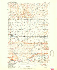
1950 · Fairfield
USGS Topo · 1:62,500
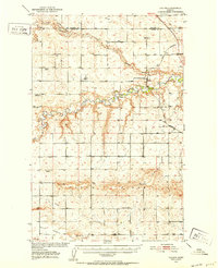
1950 · Collins
USGS Topo · 1:62,500

1954 · Great Falls
USGS Topo · 1:250,000

1955 · Choteau
USGS Topo · 1:250,000

1957 · Choteau
USGS Topo · 1:250,000

1957 · Great Falls
USGS Topo · 1:250,000

1958 · Choteau
USGS Topo · 1:250,000