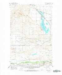
1960 Map of Freezeout Lake
USGS Topo · Published 1978About this map
Freezeout Lake dominates this Teton County landscape, where the high plains meet a sophisticated 1960s irrigation network. The map reveals an intricate system of water management including the Greenfields Main Canal, Floweree Canal, and Sun River Slope Canal, all supporting the agricultural output of the northern Montana prairie. These waterworks sit alongside the Freezeout Lake Game Management Area, highlighting the intersection of industrial farming and wildlife conservation during the mid-twentieth century.
Find a feature on this map
42 named features on this map. Tap any name to fly to it.
Don’t see what you’re looking for? This feature index may not catch every label — zoom into the map to look around manually.
Map Details
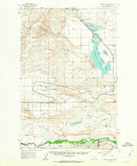
Editions of this 1960 Freezeout Lake Map
2 editions found
Other maps of this area

1886 · Great Falls
USGS Topo · 1:250,000

1920 · Choteau
USGS Topo · 1:125,000

1943 · Hogan
USGS Topo · 1:125,000

1950 · Fairfield
USGS Topo · 1:62,500

1950 · Collins
USGS Topo · 1:62,500

1954 · Great Falls
USGS Topo · 1:250,000

1955 · Choteau
USGS Topo · 1:250,000

1957 · Choteau
USGS Topo · 1:250,000

1957 · Great Falls
USGS Topo · 1:250,000

1958 · Choteau
USGS Topo · 1:250,000