
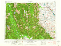
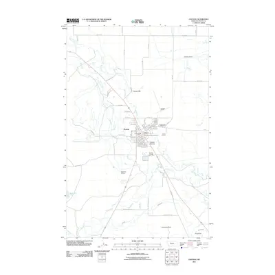
1955 Map of Choteau
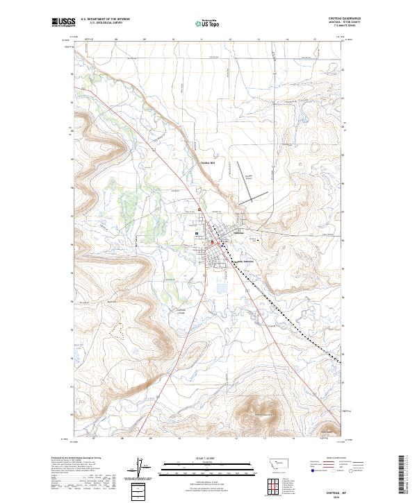
USGS Topo · Published 1978About this map
The Continental Divide serves as the central spine for this 1950s survey, marking the dramatic transition from the high wilderness of the Bob Marshall Wilderness and Scapegoat Wilderness to the eastern plains. On the western slope, the Flathead National Forest and Lolo National Forest cover a landscape of high peaks like McDonald Peak and significant water bodies including Swan Lake and Lindbergh Lake. Here, the timber and USFS presence at Condon define the local economy and geography.
Find a feature on this map
212 named features on this map. Tap any name to fly to it.
Don’t see what you’re looking for? This feature index may not catch every label — zoom into the map to look around manually.
Map Details
Editions of this 1955 Choteau Map
This is the sole edition of this map. No revisions or reprints were ever made.
Historical Maps of Choteau Through Time
14 maps found

1920 Choteau
Teton County, MT
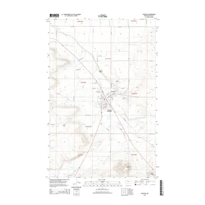
1955 Choteau
Teton County, MT

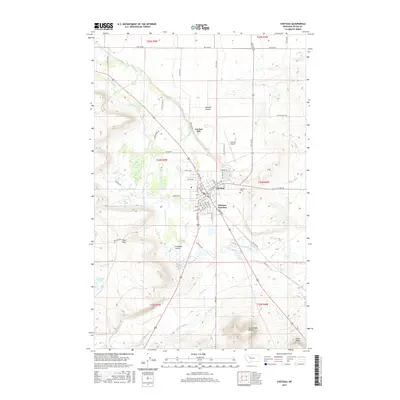
1957 Choteau
Teton County, MT
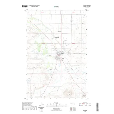
1958 Choteau
Teton County, MT
1960 Choteau
Teton County, MT

1962 Choteau
Teton County, MT

1976 Choteau
Teton County, MT
1984 Choteau
Teton County, MT
1987 Choteau
Teton County, MT
2011 Choteau
Teton County, MT
2014 Choteau
Teton County, MT
2017 Choteau
Teton County, MT
2020 Choteau
Teton County, MT
2024 Choteau
Teton County, MT