
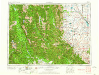
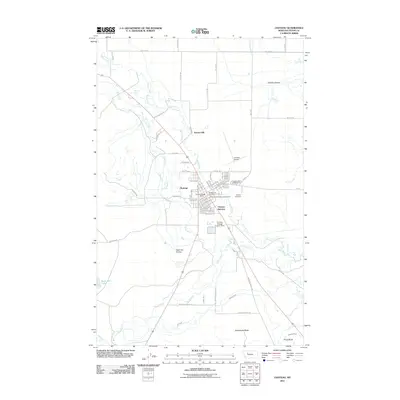
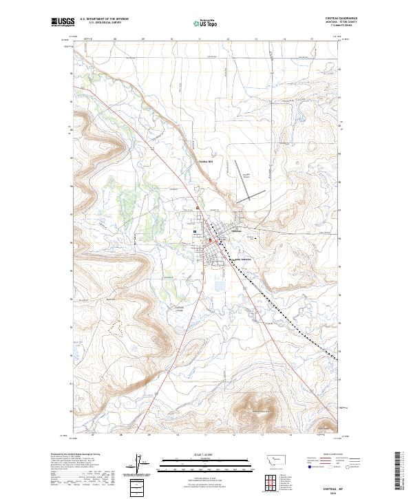
1962 Map of Choteau
USGS Topo · Published 1962About this map
The Continental Divide zigzags through this mid-century landscape, separating the high peaks of the Lewis and Clark Range from the ranching country to the east. In the early 1960s, the town of Choteau serves as a regional hub where the Great Northern rail line terminates, supporting a series of agricultural settlements including Bynum, Farmington, and Augusta. This era shows a heavily managed water system essential for the eastern plains, with the Gibson, Pishkun, and Bynum reservoirs capturing mountain runoff for irrigation.
Find a feature on this map
78 named features on this map. Tap any name to fly to it.
Don’t see what you’re looking for? This feature index may not catch every label — zoom into the map to look around manually.
Map Details
Editions of this 1962 Choteau Map
This is the sole edition of this map. No revisions or reprints were ever made.
Historical Maps of Choteau Through Time
14 maps found

1920 Choteau
Teton County, MT

1955 Choteau
Teton County, MT

1957 Choteau
Teton County, MT
1958 Choteau
Teton County, MT
1960 Choteau
Teton County, MT
1962 Choteau
Teton County, MT

1976 Choteau
Teton County, MT
1984 Choteau
Teton County, MT
1987 Choteau
Teton County, MT
2011 Choteau
Teton County, MT
2014 Choteau
Teton County, MT
2017 Choteau
Teton County, MT
2020 Choteau
Teton County, MT
2024 Choteau
Teton County, MT