2000s (21st Century) Maps of Capitol Hill, Helena
Explore 6 historic maps of Capitol Hill from the 2000s (21st Century). These maps offer a rare glimpse into what life looked like during the 2000s — showing old roads, neighborhoods, homes, and landmarks that have changed or disappeared over time.
Whether you're researching your family's past, planning a metal detecting trip, or studying how Capitol Hill's landscape evolved across the 2000s, these high-resolution maps are a powerful tool for exploring the history of this region.
- Focus on a specific era: All maps on this page are from the 2000s, giving you a focused view of this time period.
- See what’s changed: Compare century-old streets, trails, and buildings to today's modern landscape using overlays and satellite layers.
- Research with precision: Use these maps for genealogy, historical research, land use analysis, or educational projects.
- View, download, or print: Maps are fully viewable online in high resolution, and can be downloaded or printed for your own records.
Start exploring Capitol Hill's history through authentic maps from the 2000s. This is your window into the past.
Capitol Hill, Helena maps
(6)- 2001 Map of Helena, 2004 Print
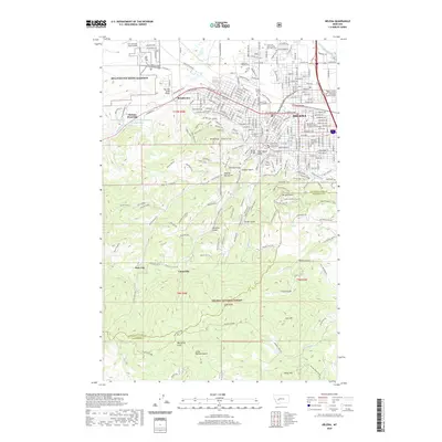
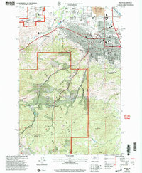 2001 Helena2004 Print · USGSMontana's capital city and its surrounding mining gulches are captured here at the turn of the millennium. Local researchers can trace the development of Helena neighborhoods alongside historical sites like the Brooklyn Bridge Mine, Unionville, and the State Capitol.
 - 2011 Map of Helena, 2011 Print
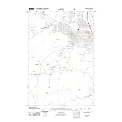 2011 Helena2011 Print · USGSCovers Capitol Hill, including Helena, Unionville, and other nearby areas
 - 2014 Map of Helena, 2014 Print
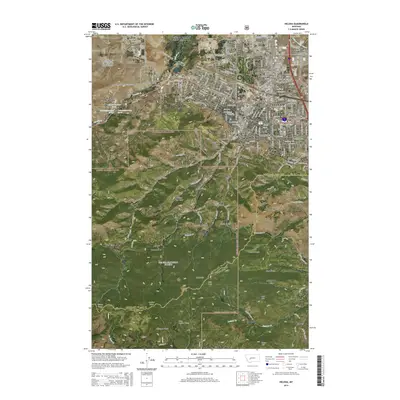 2014 Helena2014 Print · USGSCovers Capitol Hill, including Helena, Unionville, and other nearby areas
 - 2017 Map of Helena, 2017 Print
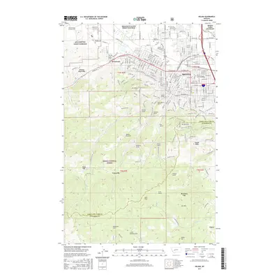 2017 Helena2017 Print · USGSCovers Capitol Hill, including Helena, Unionville, and other nearby areas
 - 2020 Map of Helena, 2020 Print
 2020 Helena2020 Print · USGSCovers Capitol Hill, including Helena, Unionville, and other nearby areas
 - 2024 Map of Helena, 2024 Print
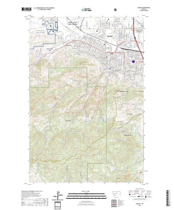 2024 Helena2024 Print · USGSHelena and its southern mountain reaches appear here in the current era, showing the transition from the state capital's urban core to the surrounding national forest. Researchers can trace institutional landmarks like Carroll College or follow the deep ravines of Last Chance Gulch and Grizzly Gulch.
End of results
Showing maps 1-6 of 6
Frequently asked questions
- What are the different types of historical maps available for Capitol Hill?
- What is the oldest map of Capitol Hill?
- Where can I purchase historical maps of Capitol Hill for my home or office?
- Where can I download high-res historical maps of Capitol Hill?
- Are there historical topographic maps available for Capitol Hill?
- Is there historical aerial imagery available for Capitol Hill?
- Where are historical maps of Capitol Hill sourced from?