Old Maps of Packers, Montana for Metal Detecting
Plan your next treasure hunt with 14 historic maps of Packers. Find old homesites, ghost towns, trails, and gathering spots that may be lost to time — perfect for identifying promising metal detecting locations.
- Locate forgotten sites: Uncover places like long-lost settlements, abandoned rail lines, or gathering spots.
- Plan better hunts: Use map overlays combined with LiDAR or satellite views to narrow in on historically rich areas.
- Made for detectorists: Thousands of hobbyists use these maps to discover relics, coins, and hidden history.
Use these historic maps to boost your research and find new opportunities beneath the surface of Packers.
Packers, MT maps
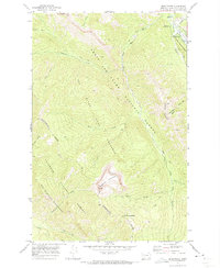
(14)- 1903 Map of Coopers Lake
 1903 Coopers Lake1903 Print · USGSLewis and Clark and Powell counties are shown at the turn of the century as the high-mountain ranching and mining frontier expanded. Genealogists and researchers can locate family landmarks like Lunds Ranch, Witmer Bros Ranch, and the Klondike Mine.3 unique versions available
 - 1955 Map of Choteau, 1978 Print
 1955 Choteau1978 Print · USGSWestern Montana during the mid-fifties is captured here as a land of rugged high-country wilderness and vital eastern plains irrigation. Genealogists and historians can locate remote outposts like Condon, the communal Miller Colony, and the rail stops of the Chicago Milwaukee St Paul and Pacific.
 - 1957 Map of Choteau
 1957 Choteau1957 Print · USGSMontana's mountain front meets the eastern plains in the mid-fifties, showing the transition from forested wilderness to irrigated ranch land. Genealogists and historians can trace the rail lines of the Great Northern and find settlements like Choteau, Augusta, and Seeley Lake.
 - 1958 Map of Choteau
 1958 Choteau1958 Print · USGSMontana's front range meets the high wilderness in the late fifties, where the Great Northern railway connects ranching towns to the eastern plains. Researchers can trace the development of irrigation at Bynum Reservoir or locate remote camps like the Big Prairie District Ranger Station and Helmville.2 unique versions available
 - 1962 Map of Choteau
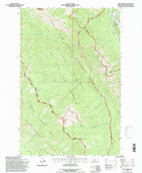
 1962 Choteau1962 Print · USGSThe Rocky Mountain Front meets the western plains in the early 1960s, showing a landscape defined by the Continental Divide. Genealogists and researchers can trace the tracks of the Great Northern and find settlements like Choteau, Augusta, and Bynum.
 - 1970 Map of Benchmark, 1973 Print
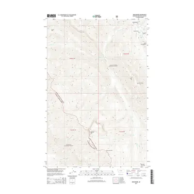
 1970 Benchmark1973 Print · USGSThe Montana wilderness around the Sun River was a hub of backcountry activity in the 1970s. Researchers can trace the network of pack trails and remote outposts like the Benchmark Work Center, Benchmark Airfield, and the Patrol Mountain lookout.2 unique versions available
 - 1976 Map of Choteau
 1976 Choteau1976 Print · USGSThe Montana Rocky Mountain Front meets the plains in the 1970s, showcasing the high-altitude wilderness and the irrigation-fed ranching country. Trace the Great Northern Railway through Choteau or locate rural landmarks like the Farmington Cemetery and Gibson Reservoir.
 - 1993 Map of Dearborn River
 1993 Dearborn River1993 Print · USGSThe Montana wilderness and the Front Range come alive in this early 1990s overview of the high country near Augusta. Outdoor historians and researchers can trace the Continental Divide Trail or locate remote sites like Copper Camp and Milford Colony.
 - 1995 Map of Benchmark, 1997 Print
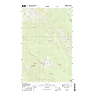
 1995 Benchmark1997 Print · USGSThe Montana backcountry along the Continental Divide comes into focus in the mid-1990s, where federal wilderness areas and game preserves meet. Researchers can locate remote outposts like the Benchmark Airfield, the station at Fairview, and the high Lookout on Patrol Mountain.
 - 2011 Map of Benchmark, 2011 Print
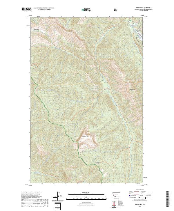
 2011 Benchmark2011 Print · USGSCovers Packers, including Lewis and Clark County, United States, and other nearby areas
 - 2014 Map of Benchmark, 2014 Print
 2014 Benchmark2014 Print · USGSCovers Packers, including Lewis and Clark County, United States, and other nearby areas
 - 2017 Map of Benchmark, 2017 Print
 2017 Benchmark2017 Print · USGSCovers Packers, including Lewis and Clark County, United States, and other nearby areas
 - 2020 Map of Benchmark, 2020 Print
 2020 Benchmark2020 Print · USGSCovers Packers, including Lewis and Clark County, United States, and other nearby areas
 - 2024 Map of Benchmark, 2024 Print
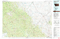
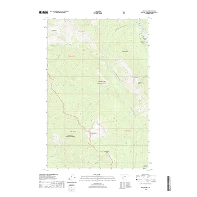
 2024 Benchmark2024 Print · USGSLewis and Clark County is seen here in the modern era as a vast wilderness of high peaks and river headwaters. Hikers and historians can trace the Continental Divide National Scenic Trl and remote landmarks like Benchmark Airport or Patrol Mtn.
End of results
Showing maps 1-14 of 14
Frequently asked questions
- What are the different types of historical maps available for Packers?
- What is the oldest map of Packers?
- Where can I purchase historical maps of Packers for my home or office?
- Where can I download high-res historical maps of Packers?
- Are there historical topographic maps available for Packers?
- Is there historical aerial imagery available for Packers?
- Where are historical maps of Packers sourced from?