Old Maps of Wolf Creek, Montana for Academic Research
Study the evolution of Wolf Creek with 13 high-resolution historic maps. Whether you're teaching, researching, or modeling changes in land use, these maps provide essential visual documentation of urban, environmental, and geographic change.
- Analyze long-term change: Track patterns in development, transportation, and natural features.
- Ideal for environmental or urban studies: Support academic projects with primary historical map data.
- Use in the classroom or lab: Educators and researchers rely on these maps to bring historical context to life.
These maps are a powerful tool for teaching, research, and visualizing how Wolf Creek has changed over the decades.
Wolf Creek, MT maps
(13)- 1943 Map of Hogan
 1943 Hogan1943 Print · USGSCrossing the Continental Divide during the early twentieth century, this survey shows the high-country landscape between the Sun and Dearborn rivers. Researchers can trace early settlements like Stearns and Hogan, or find remote landmarks such as Silver Camp and the Dry Creek Reservoir Site.
 - 1955 Map of Choteau, 1978 Print
 1955 Choteau1978 Print · USGSWestern Montana during the mid-fifties is captured here as a land of rugged high-country wilderness and vital eastern plains irrigation. Genealogists and historians can locate remote outposts like Condon, the communal Miller Colony, and the rail stops of the Chicago Milwaukee St Paul and Pacific.
 - 1957 Map of Choteau
 1957 Choteau1957 Print · USGSMontana's mountain front meets the eastern plains in the mid-fifties, showing the transition from forested wilderness to irrigated ranch land. Genealogists and historians can trace the rail lines of the Great Northern and find settlements like Choteau, Augusta, and Seeley Lake.
 - 1958 Map of Choteau
 1958 Choteau1958 Print · USGSMontana's front range meets the high wilderness in the late fifties, where the Great Northern railway connects ranching towns to the eastern plains. Researchers can trace the development of irrigation at Bynum Reservoir or locate remote camps like the Big Prairie District Ranger Station and Helmville.2 unique versions available
 - 1961 Map of Wolf Creek, 1964 Print
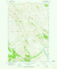 1961 Wolf Creek1964 Print · USGSWolf Creek and the Missouri River corridor are captured in the early sixties as a network of high-country ranches and rail lines. Genealogists and historians can trace the Moore Graves and family lands like Sentinel Ranch or Sunny Crest Ranch.3 unique versions available
 - 1962 Map of Choteau
 1962 Choteau1962 Print · USGSThe Rocky Mountain Front meets the western plains in the early 1960s, showing a landscape defined by the Continental Divide. Genealogists and researchers can trace the tracks of the Great Northern and find settlements like Choteau, Augusta, and Bynum.
 - 1976 Map of Choteau
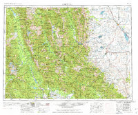 1976 Choteau1976 Print · USGSThe Montana Rocky Mountain Front meets the plains in the 1970s, showcasing the high-altitude wilderness and the irrigation-fed ranching country. Trace the Great Northern Railway through Choteau or locate rural landmarks like the Farmington Cemetery and Gibson Reservoir.
 - 1993 Map of Dearborn River
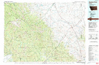 1993 Dearborn River1993 Print · USGSThe Montana wilderness and the Front Range come alive in this early 1990s overview of the high country near Augusta. Outdoor historians and researchers can trace the Continental Divide Trail or locate remote sites like Copper Camp and Milford Colony.
 - 2011 Map of Wolf Creek, 2011 Print
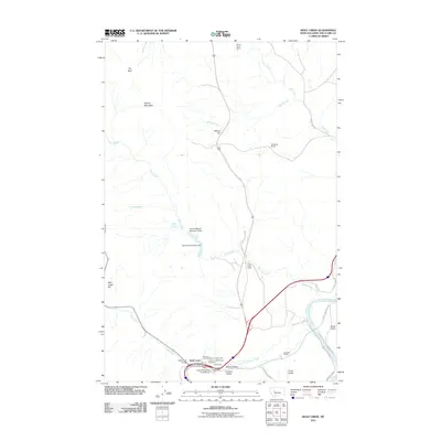 2011 Wolf Creek2011 Print · USGSWolf Creek and the surrounding canyon country are captured here in the early twenty-first century, showcasing a landscape shaped by the Missouri River and ranching life. Genealogists and local historians can locate the Carterville/Wolf Creek Cemetery, Sentinel Ranch, and the Wolf Creek Post Office.
 - 2014 Map of Wolf Creek, 2014 Print
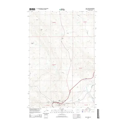 2014 Wolf Creek2014 Print · USGSWolf Creek and the Missouri River corridor are captured here in the early twenty-first century, showing the intersection of vital water routes and rugged Montana terrain. Researchers can locate the Carterville / Wolf Creek Cemetery, the Moore Graves, and prominent landmarks like Sentinel Rock.
 - 2017 Map of Wolf Creek, 2017 Print
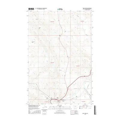 2017 Wolf Creek2017 Print · USGSWolf Creek and the surrounding high country of Lewis and Clark County are documented here in the late twenty-tens. Genealogists and historians can locate the Carterville / Wolf Creek Cem, the Wolf Creek Bridge, and landmarks like Electric Mtn.
 - 2020 Map of Wolf Creek, 2020 Print
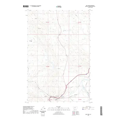 2020 Wolf Creek2020 Print · USGSWolf Creek and the Missouri River corridor appear here in the early twenty-first century. Researchers can locate the Carterville / Wolf Creek Cem, the Wolf Creek Bridge, and landmarks like Electric Mtn and Sentinel Rock.
 - 2024 Map of Wolf Creek, 2024 Print
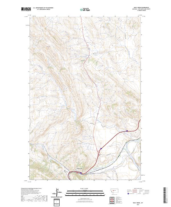 2024 Wolf Creek2024 Print · USGSIn the canyon country north of Helena during the twenty-first century, the junction of Wolf Creek and the Missouri River remains a vital geography. Trace local genealogy at Carterville Cem and Moore Graves, or follow the trails near Electric Mtn.
End of results
Showing maps 1-13 of 13
Frequently asked questions
- What are the different types of historical maps available for Wolf Creek?
- What is the oldest map of Wolf Creek?
- Where can I purchase historical maps of Wolf Creek for my home or office?
- Where can I download high-res historical maps of Wolf Creek?
- Are there historical topographic maps available for Wolf Creek?
- Is there historical aerial imagery available for Wolf Creek?
- Where are historical maps of Wolf Creek sourced from?