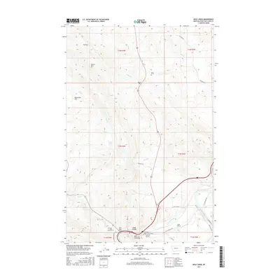
2017 Map of Wolf Creek
USGS Topo · Published 2017About this map
Wolf Creek serves as the central hub of this Montana landscape, situated near the confluence of local drainages and the Missouri River. The area is characterized by significant topographical landmarks such as Electric Mtn and the distinct formations of The Reef and Rattlesnake Reef, which highlight the complex geology of Lewis and Clark County. Local history is anchored by the Carterville / Wolf Creek Cem and the small settlement at Moore Graves. The map documents the vital transport infrastructure of the region, featuring both the Wolf Creek Bridge and the Little Prickly Pear Creek Bridge. Numerous named waterways, including Bridge Cr and Dog Cr, carve through the terrain toward Long Gulch, reflecting a landscape defined by its riparian corridors and high ridges like Moore Hill.
Find a feature on this map
37 named features on this map. Tap any name to fly to it.
Don’t see what you’re looking for? This feature index may not catch every label — zoom into the map to look around manually.
Map Details
Editions of this 2017 Wolf Creek Map
This is the sole edition of this map. No revisions or reprints were ever made.
Other maps of this area

1886 · Great Falls
USGS Topo · 1:250,000

1886 · Fort Logan
USGS Topo · 1:250,000

1889 · Helena
USGS Topo · 1:250,000

1893 · Helena
USGS Topo · 1:250,000

1899 · Helena
USGS Topo · 1:250,000

1903 · Helena
USGS Topo · 1:250,000

1943 · Hogan
USGS Topo · 1:125,000

1947 · Butte
USGS Topo · 1:250,000

1948 · White Sulphur Springs
USGS Topo · 1:250,000

1954 · Great Falls
USGS Topo · 1:250,000