Old Maps of Eagle Lake Ranch, Montana for Academic Research
Study the evolution of Eagle Lake Ranch with 13 high-resolution historic maps. Whether you're teaching, researching, or modeling changes in land use, these maps provide essential visual documentation of urban, environmental, and geographic change.
- Analyze long-term change: Track patterns in development, transportation, and natural features.
- Ideal for environmental or urban studies: Support academic projects with primary historical map data.
- Use in the classroom or lab: Educators and researchers rely on these maps to bring historical context to life.
These maps are a powerful tool for teaching, research, and visualizing how Eagle Lake Ranch has changed over the decades.
Eagle Lake Ranch, MT maps
(13)- 1913 Map of Stryker, 1960 Print
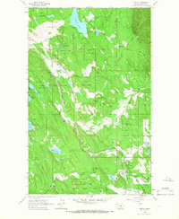
 1913 Stryker1960 Print · USGSNorthwest Montana at the start of the twentieth century was a landscape of remote rail outposts and high-country forestry along the Great Northern. Researchers can locate vanished infrastructure like the Meadow Creek School or trace early forest service history at Point of Rock Ranger Station.
 - 1916 Map of Stryker
 1916 Stryker1916 Print · USGSRailroad-driven development in the early twentieth century defined the corridor from Stryker to Olney along the Great Northern line. Researchers can trace the era's remote infrastructure through landmarks like Butcher Cabin and the Glen Lake School.3 unique versions available
 - 1957 Map of Kalispell, 1967 Print
 1957 Kalispell1967 Print · USGSNorthwest Montana in the late fifties showcases a mountain landscape transitioning between wilderness and industry. Genealogists and researchers can trace the Great Northern rail corridor through Kalispell and Whitefish, or locate landmarks like the Montana Soldiers Home and Hungry Horse Reservoir.3 unique versions available
 - 1960 Map of Kalispell
 1960 Kalispell1960 Print · USGSNorthwest Montana in the late fifties is defined by the mountain corridors of the Great Northern Railway and the vast reaches of Glacier National Park. Researchers can trace the legacy of timber and mining towns like Libby, Rexford, and Whitefish, or locate landmarks such as the Snowshoe Mine.
 - 1961 Map of Kalispell
 1961 Kalispell1961 Print · USGSNorthwestern Montana at the start of the 1960s shows a landscape of timber-driven rail towns and the sprawling wild lands of Glacier National Park. Genealogists and historians can trace the route of the Great Northern through mountain passes or locate old settlements like Fortine, Trego, and Warland.
 - 1963 Map of Fortine, 1966 Print
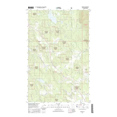
 1963 Fortine1966 Print · USGSFortine and the surrounding Kootenai forest lands are captured in the early sixties as the railroad era continued to shape this Montana valley. Researchers can trace the path of the Great Northern through Fortine, locate the local Cem, and explore the shoreline of Glen Lake.2 unique versions available
 - 1981 Map of Whitefish Range, 1982 Print
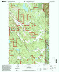
 1981 Whitefish Range1982 Print · USGSThe Whitefish Range and Glacier National Park are shown here in the early eighties, documenting a massive wilderness landscape. Researchers can trace remote mountain outposts like Polebridge and rail-town history along the Burlington Northern near Trego and Olney.
 - 1997 Map of Fortine, 2000 Print
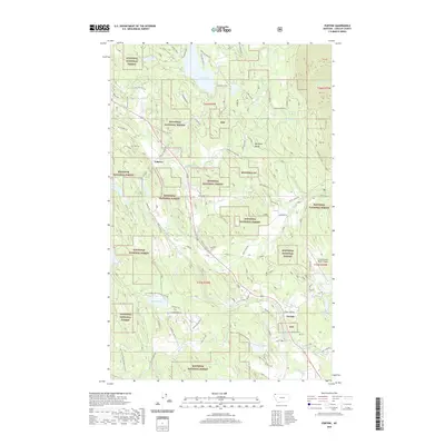
 1997 Fortine2000 Print · USGSIn the late nineties, the area around Fortine was a hub of mountain recreation and timber land. Genealogists and historians can trace the Burlington Northern rail line, the local Cemetery, and the early layout of the Crystal Lake Resort.
 - 2011 Map of Fortine, 2011 Print
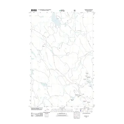 2011 Fortine2011 Print · USGSCovers Eagle Lake Ranch, including Fortine, Tobacco, and other nearby areas
 - 2014 Map of Fortine, 2014 Print
 2014 Fortine2014 Print · USGSCovers Eagle Lake Ranch, including Fortine, Tobacco, and other nearby areas
 - 2017 Map of Fortine, 2017 Print
 2017 Fortine2017 Print · USGSCovers Eagle Lake Ranch, including Fortine, Tobacco, and other nearby areas
 - 2020 Map of Fortine, 2020 Print
 2020 Fortine2020 Print · USGSCovers Eagle Lake Ranch, including Fortine, Tobacco, and other nearby areas
 - 2024 Map of Fortine, 2024 Print
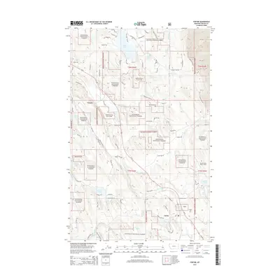
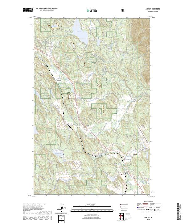 2024 Fortine2024 Print · USGSNorthwestern Montana in the 2020s shows a landscape of forest management and valley settlements. Genealogists and researchers can trace the roads around Fortine, locate the Fortine Cem, and follow the waters of the Tobacco River.
End of results
Showing maps 1-13 of 13
Top cities near Eagle Lake Ranch
Frequently asked questions
- What are the different types of historical maps available for Eagle Lake Ranch?
- What is the oldest map of Eagle Lake Ranch?
- Where can I purchase historical maps of Eagle Lake Ranch for my home or office?
- Where can I download high-res historical maps of Eagle Lake Ranch?
- Are there historical topographic maps available for Eagle Lake Ranch?
- Is there historical aerial imagery available for Eagle Lake Ranch?
- Where are historical maps of Eagle Lake Ranch sourced from?