Old Maps of Rexford, Montana for Metal Detecting
Plan your next treasure hunt with 12 historic maps of Rexford. Find old homesites, ghost towns, trails, and gathering spots that may be lost to time — perfect for identifying promising metal detecting locations.
- Locate forgotten sites: Uncover places like long-lost settlements, abandoned rail lines, or gathering spots.
- Plan better hunts: Use map overlays combined with LiDAR or satellite views to narrow in on historically rich areas.
- Made for detectorists: Thousands of hobbyists use these maps to discover relics, coins, and hidden history.
Use these historic maps to boost your research and find new opportunities beneath the surface of Rexford.
Rexford, MT maps
(12)- 1957 Map of Kalispell, 1967 Print
 1957 Kalispell1967 Print · USGSNorthwest Montana in the late fifties showcases a mountain landscape transitioning between wilderness and industry. Genealogists and researchers can trace the Great Northern rail corridor through Kalispell and Whitefish, or locate landmarks like the Montana Soldiers Home and Hungry Horse Reservoir.3 unique versions available
 - 1960 Map of Kalispell
 1960 Kalispell1960 Print · USGSNorthwest Montana in the late fifties is defined by the mountain corridors of the Great Northern Railway and the vast reaches of Glacier National Park. Researchers can trace the legacy of timber and mining towns like Libby, Rexford, and Whitefish, or locate landmarks such as the Snowshoe Mine.
 - 1961 Map of Kalispell
 1961 Kalispell1961 Print · USGSNorthwestern Montana at the start of the 1960s shows a landscape of timber-driven rail towns and the sprawling wild lands of Glacier National Park. Genealogists and historians can trace the route of the Great Northern through mountain passes or locate old settlements like Fortine, Trego, and Warland.
 - 1963 Map of Rexford, 1966 Print
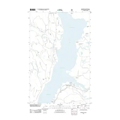
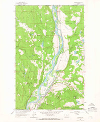 1963 Rexford1966 Print · USGSThe Kootenai River valley south of the Canadian border is shown here in the early sixties before the completion of the Libby Dam. Genealogists and researchers can trace the original townsite of Rexford and the path of the Great Northern railroad through the Tobacco Plains.3 unique versions available
 - 1979 Map of Yaak River, 1993 Print
 1979 Yaak River1993 Print · USGSThe Purcell and Salish Mountains define this corner of Northwest Montana in the late seventies. Researchers can trace remote fire lookouts like Lookout Tower Webb Mountain or study rail towns like Eureka and Rexford along the Burlington Northern.
 - 1983 Map of Rexford, 1984 Print
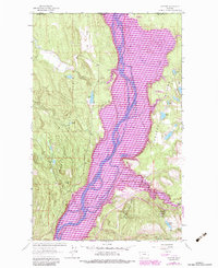 1983 Rexford1984 Print · USGSThe Montana-Canada borderlands near the Tobacco Plains are captured in the early eighties as the river valley shifted toward recreation and state conservation. Trace the old community around Rexford and find landmarks like the Tooley Lake Sch and Murray Springs State Fish Hatchery.
 - 1997 Map of Rexford, 2000 Print
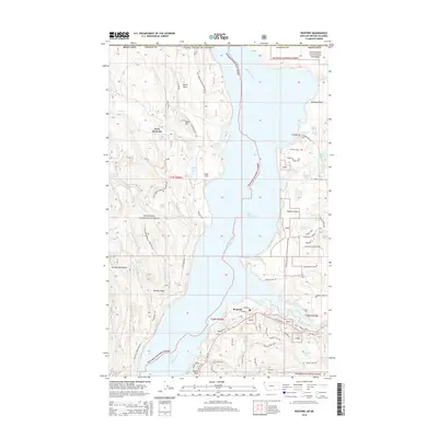
 1997 Rexford2000 Print · USGSNear the Canadian border in the late nineties, this area showcases the shoreline of Lake Koocanusa and the community of Rexford. Trace local history through landmarks like the Tooley Lake School, Murray Springs State Fish Hatchery, and the Tobacco Plains.
 - 2011 Map of Rexford, 2011 Print
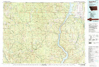
 2011 Rexford2011 Print · USGSCovers Rexford, including Area B (Lake Koocanusa), Lincoln County, and other nearby areas
 - 2014 Map of Rexford, 2014 Print
 2014 Rexford2014 Print · USGSCovers Rexford, including Area B (Lake Koocanusa), Lincoln County, and other nearby areas
 - 2017 Map of Rexford, 2017 Print
 2017 Rexford2017 Print · USGSCovers Rexford, including Area B (Lake Koocanusa), Lincoln County, and other nearby areas
 - 2020 Map of Rexford, 2020 Print
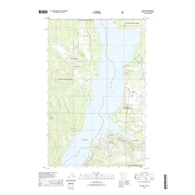 2020 Rexford2020 Print · USGSCovers Rexford, including Area B (Lake Koocanusa), Lincoln County, and other nearby areas
 - 2024 Map of Rexford, 2024 Print
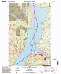
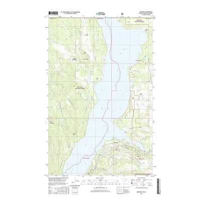
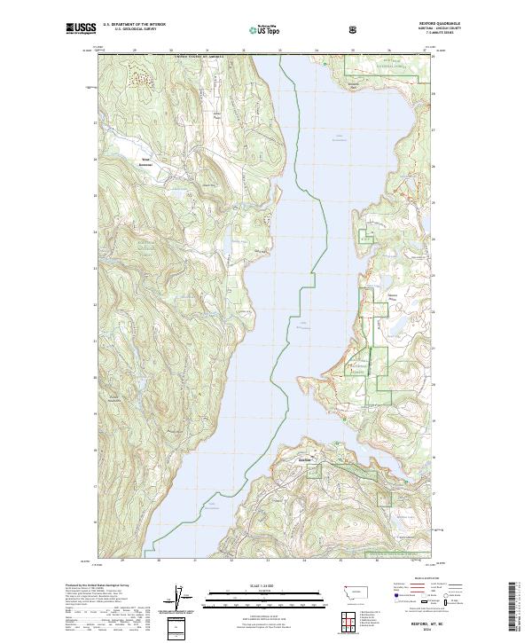 2024 Rexford2024 Print · USGSThe Lake Koocanusa region comes into focus in this contemporary study of Lincoln County's borderlands. Local historians can trace the modern layout of Rexford and West Kootenai alongside features like Tobacco Plains and Kootenai Flats.
End of results
Showing maps 1-12 of 12
Top cities near Rexford
Frequently asked questions
- What are the different types of historical maps available for Rexford?
- What is the oldest map of Rexford?
- Where can I purchase historical maps of Rexford for my home or office?
- Where can I download high-res historical maps of Rexford?
- Are there historical topographic maps available for Rexford?
- Is there historical aerial imagery available for Rexford?
- Where are historical maps of Rexford sourced from?